Browse / Germany / Brandenburg / Teltow
Teltow
Brandenburgtown

Teltow
Total population
19,541
Demographic figures from Destatis. Overview below cites Wikipedia and may reference a different year.
City facts
Sister cities
Facts from Wikidata (CC0).
Overview
Teltow is a town in the Potsdam-Mittelmark district, in Brandenburg, Germany.
Read more on WikipediaHistory & geography
History
The settlement was first mentioned in a 1265 deed issued by Margrave Otto III of Brandenburg. It received its name from the eponymous plateau, a moraine of the last glacial period. Teltow was formerly known for the Teltower Rübchen (Brassica rapa ssp. rapa f. teltowiensis), a special type of turnip quite popular in the 18th and 19th century. The main sight of the town is the Protestant St Andrew's fieldstone church of the 12th century rebuilt in 1812 according to plans by Karl Friedrich Schinkel. It was depicted by Lyonel Feininger in his 1918 painting Teltow II. Teltow shared its borders with the former West Berlin, and so during the period 1961–1990 it was separated from it by the Berlin Wall. Max Malecki (1949) and Herbert Pucher (1952) were the first two 1st secretaries of the SED district administration in Teltow. On the basis of the administrative reform in the GDR in 1952 the circle Teltow was dissolved and Teltow assigned to the district of Potsdam in the newly formed district of Potsdam. In the period of the Soviet occupation zone and the GDR until 1961 there was a significant population loss. After the construction of the Berlin Wall in 1961, the Teltow Canal on the northern boundary of Teltow formed the border to West Berlin. In the east the wall limited the districts Seehof and Sigridshorst. In the residential areas near the border with West Berlin, after the construction of the Wall, "especially well-deserved SED comrades and other loyalists" were settled, whom the regime assumed would not flee to the West. The residential development on the border was accessible only under strict access restriction. Hans-Jürgen Starrost, Klaus Garden and Roland Hoff were killed by the GDR while attempting to escape from Teltow to West Berlin. An important event for the…
Geography
Teltow is part of the agglomeration of Berlin. The distance to the Berlin city centre is , while the distance to Potsdam is . The Teltow Canal links the River Havel near the city of Potsdam with the River Dahme near Köpenick in Berlin's eastern suburbs. It passes immediately to the north of Teltow, forming the border between Brandenburg and Berlin. The central Teltow Stadt railway station is part of the Berlin S-Bahn line . Teltow railway station is to the south-east and is served by RegionalExpress lines 3, 4 and 5.
Excerpted from the corresponding Wikipedia article (CC BY-SA).
Geography
Coordinates & boundaries from the US Census TIGER/Line shapefiles.
Climate
Air quality
Walkability
Amenities nearby
Wildlife & biodiversity
Earthquake history
Photos
Sights & places nearby
Notable people from here
Nearby places in Brandenburg
- Kleinbeeren3.9 mi away
- Diedersdorf5.7 mi away · pop. 789
- Genshagen6.3 mi away · pop. 1,365
- Ahrensdorf6.6 mi away · pop. 1,043
- Mahlow6.9 mi away
- Philippsthal7 mi away · pop. 190
- Blankenfelde7.4 mi away
- Löwenbruch7.7 mi away · pop. 275
- Groß Glienicke8.1 mi away
- Siethen8.5 mi away · pop. 791
- Jühnsdorf8.8 mi away · pop. 302
- Gröben8.9 mi away · pop. 349
Geography & sun
Elevation, sunrise/sunset and daylight from Open-Meteo. Solar climatology from NASA POWER.
Nearby airports
Public attention
Pageview totals from the Wikimedia Pageviews API.
Books about Teltow
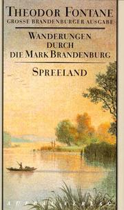
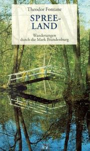

Search results from Open Library.
Recent natural events nearby
Ground air-quality sensors
Recently spotted species
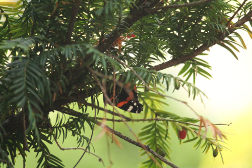
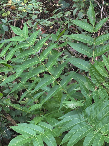
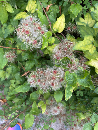
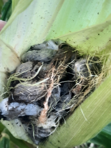
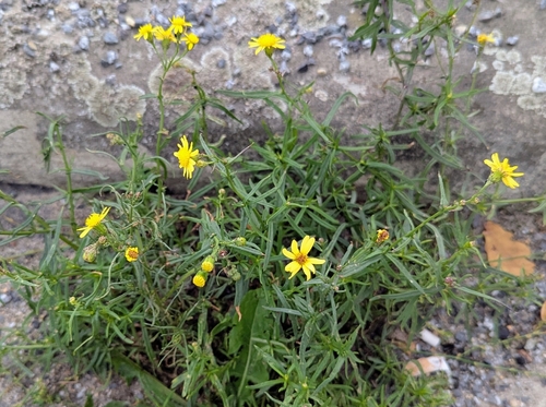
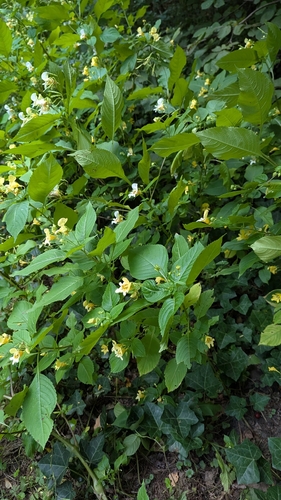
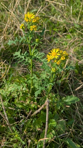
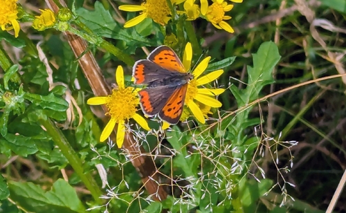
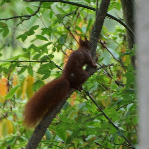
Research-grade observations from iNaturalist (within ~15 mi).
Events
Gallery
Official Identifiers
Destatis — German Federal Statistical Office
- AGS
- 12069616
- Population (Wikidata)
- 27,880
- Wikidata
- Q572512
Amtlicher Gemeindeschlüssel (AGS) via Wikidata P439
Sources
- • Wikipedia
- • Wikidata
- • iNaturalist
- • Open-Meteo / sunrise-sunset.org
- • Wikipedia Pageviews API
- • Open Library
- • Wikidata SPARQL (CC0) — population, area, elevation, inception, head of government, Commons image
- • Destatis — German Federal Statistical Office — Amtlicher Gemeindeschlüssel (AGS) via Wikidata P439