Browse / Germany / Baden-Württemberg / Tennenbronn
Tennenbronn
Baden-Württembergvillage
Total population
3,527
Air quality index
Demographic figures from Destatis. Overview below cites Wikipedia and may reference a different year.
City facts
Facts from Wikidata (CC0).
Overview
Tennenbronn is a district of Schramberg in the district of Rottweil, in Baden-Württemberg, Germany. As of 2024, it has 3,390 inhabitants.
Read more on WikipediaHistory & geography
History
The first historic occurrence of the term "Tennenbronn mit Kirche" (Tennenbronn with church) is from a certificate of Pope Alexander III (1159–1181) for the monastic community of St. Georgen issued on 26 March 1179. In the Late Middle Ages, the ownership is also contributed to the Sirs of Falkenstein und Rechberg, by the 16th century the Falkensteiner and St. Georgener properties were then owned by the dukes of Württemberg. Tennenbronn at the time was divided into a Protestant and a Catholic part (Tennenbronner Vetrag 1558), with the Catholic part being aligned to the Herrschaft Schramberg (a small duchy in Baden-Württemberg) or Anterior Austria respectively. The late gothic church "Unsere Liebe Frau" (our dear Lady, meaning Mary, mother of Jesus) was built in 1453 and burned down to the ground in 1901. It became a Protestant church and its predecessor building has already been a parish since the 12th century. The Catholic village had its own parish since 1786, and in 1848 the church St. Johann Baptista was erected. Because of the Napoleonic changes the two places of Tennenbronn became part of Württemberg in 1805 and due to a barrier treaty between Württemberg and Baden in 1810 they became part of Baden. Napoleon did not want to cross the Kingdom of Württemberg with his army on the march/its campaign. Tennenbronn was conferred to the Grand Duchy Baden on Napoleon's order, because the military road of Offenburg on the Benzebene to Konstanz was touching on the district to Tennenbronn. On 1 October 1922 the Protestant and Catholic part of Tennenbronn were united politically to one municipality. Tennenbronn belonged to the superior office of Baden, which is called Hornberg, after that, from 1857 onwards, it was part of the superior office Triberg and since 1924 it is part…
Geography
Tennenbronn is placed in the Bernecktal southwest of Schramberg, sitting between 460 and 943 m above sea level. The highest point of Tennenbronn, as well as of the district of Rottweil is the Brunnhölzer Höhe (943 m above sea level). Integrated in 2006 into Schramberg, the urban district is located on the western tip of the district of Rottweil and borders to the south on the Schwarzwald-Baar-Kreis, as well as to the west on the Ortenaukreis. Tennebronn's neighboring municipalities are Lauterbach to the north, Hardt to the east, Königsfeld to the east in the Schwarzwald (District of Buchenberg), the city St. Georgen in the southwest (urban district of Langenschiltach) and the city of Hornberg to the west (urban district of Reichenbach).
Excerpted from the corresponding Wikipedia article (CC BY-SA).
Geography
Coordinates & boundaries from the US Census TIGER/Line shapefiles.
Climate
Air quality
Current readings from Open-Meteo Air Quality API (Copernicus CAMS European reanalysis).
Walkability
Amenities nearby
Wildlife & biodiversity
Most-observed species
- Eurasian BlackbirdTurdus merula Linnaeus, 1758 · Aves1,076
- Great TitParus major Linnaeus, 1758 · Aves925
- Carrion CrowCorvus corone Linnaeus, 1758 · Aves902
- Eurasian Blue TitCyanistes caeruleus (Linnaeus, 1758) · Aves806
- Common ChaffinchFringilla coelebs Linnaeus, 1758 · Aves802
- Eurasian MagpiePica pica (Linnaeus, 1758) · Aves796
- House SparrowPasser domesticus (Linnaeus, 1758) · Aves741
- European RobinErithacus rubecula (Linnaeus, 1758) · Aves657
Citizen-science & research observations from the Global Biodiversity Information Facility (GBIF).
Earthquake history
Most recent
- M 3.5 — 2024-06-271 km SSW of Todtmoos, Germany
- M 3.4 — 2022-10-16Baden-Wurttemberg, Germany
- M 3.9 — 2022-09-101 km WSW of Zimmersheim, France
- M 4 — 2022-07-092 km NNE of Grosselfingen, Germany
- M 4.1 — 2021-06-262 km SE of Hœrdt, France
- M 3.1 — 2018-05-042 km W of Schliengen, Germany
Events from the USGS Earthquake Catalog (global) (FDSN Event Web Service).
Photos
Sights & places nearby
Notable people from here

People born within ~10 km, from Wikidata (CC0). Click any name for their Wikipedia article.
Nearby places in Baden-Württemberg
- St. Georgen4.6 mi away · pop. 13,086
- Triberg6.9 mi away
- Schiltach6.9 mi away · pop. 3,803
- Schömberg18.9 mi away · pop. 4,620
- Haigerloch23.9 mi away · pop. 10,935
- Kirchzarten23.9 mi away
- Blumberg25.6 mi away
- Mühlheim an der Donau27.3 mi away · pop. 3,504
- Weitingen27.5 mi away
- Ebersweier27.6 mi away · pop. 1,230
- Buchheim27.9 mi away
- Schönmünzach28.8 mi away
Geography & sun
Elevation, sunrise/sunset and daylight from Open-Meteo. Solar climatology from NASA POWER.
Nearby airports
Public attention
Pageview totals from the Wikimedia Pageviews API.
Books about this place
Recent natural events nearby
Ground air-quality sensors
Recently spotted species
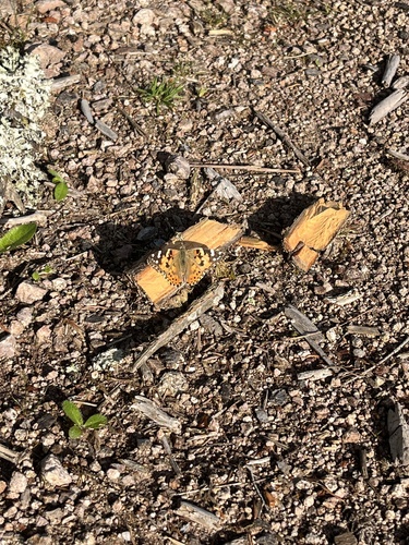
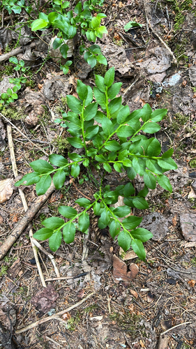
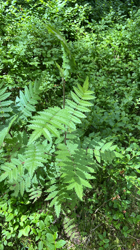
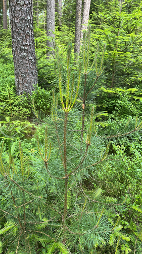
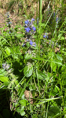
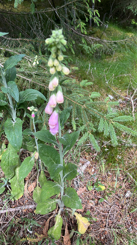
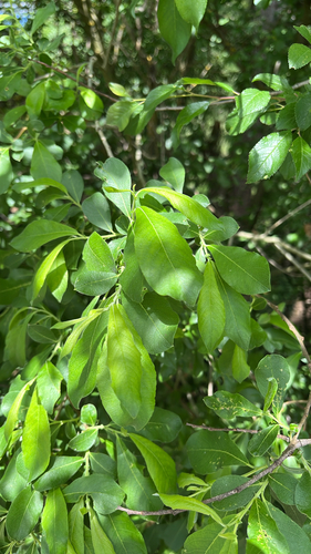
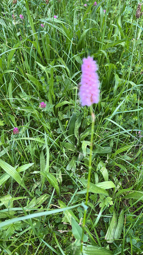

Research-grade observations from iNaturalist (within ~15 mi).
Events
Gallery
Geotagged photos within ~6 miles of Tennenbronn, from Wikimedia Commons contributors.
 0.1 mi
.png) 0.3 mi
0.3 mi.png) 0.3 mi
0.3 mi.png) 0.4 mi
0.4 mi.png) 0.4 mi
0.4 mi.png) 0.5 mi
0.5 mi.png) 0.5 mi
0.5 mi.png) 0.6 mi
0.6 mi.png) 0.6 mi
0.6 mi.png) 0.8 mi
0.8 mi.png) 0.8 mi
0.8 mi.png) 0.9 mi
0.9 mi.png) 0.9 mi
0.9 mi.png) 0.9 mi
0.9 mi.png) 0.9 mi
0.9 mi.png) 1 mi
1 mi.png) 1 mi
1 mi.png) 1 mi
1 mi.png) 1 mi
1 mi.png) 1.1 mi
1.1 miPhotos via Wikimedia Commons — see each image page for license & attribution.
Sources
- • Wikipedia
- • Wikimedia Commons
- • Wikidata
- • Open-Meteo Air Quality (CAMS)
- • USGS Earthquake Catalog (global feed)
- • GBIF (Global Biodiversity Information Facility)
- • iNaturalist
- • Open-Meteo / sunrise-sunset.org
- • Wikipedia Pageviews API