Browse / Germany / Baden-Württemberg / Ulm
Ulm
Baden-Württembergcity

Ulm
Total population
121,648
Founded
1181
Air quality index
Demographic figures from Destatis. Overview below cites Wikipedia and may reference a different year.
City facts
Sister cities
Facts from Wikidata (CC0).
Overview
Ulm is the sixth-largest city of the southwestern German state of Baden-Württemberg, and with around 130,000 inhabitants, it is Germany's 60th-largest city.
Read more on WikipediaHistory & geography
History
The oldest traceable settlement of the Ulm area began in the early Neolithic period, around 5000 BC. Settlements of this time have been identified at the villages of Eggingen and Lehr, today districts of the city. In the city area of Ulm proper, the oldest find dates from the late Neolithic period. The earliest written mention of Ulm is dated 22 July 854 AD, when King Louis the German signed a document in the King's palace of "Hulma" in the Duchy of Swabia. The city was declared an Imperial City () by Friedrich Barbarossa in 1181. At first, Ulm's significance was due to the privilege of a Königspfalz, a place of accommodation for the medieval German kings and emperors on their frequent travels. Later, Ulm became a city of traders and craftsmen. One of the most important legal documents of the city, an agreement between the Ulm patricians and the trade guilds (), dates from 1397. This document, considered an early city constitution, and the beginning of the construction of an enormous church (Ulm Minster, 1377), financed by the inhabitants of Ulm themselves rather than by the church, demonstrate the assertiveness of Ulm's medieval citizens. Ulm blossomed during the 15th and 16th centuries, mostly due to the export of high-quality textiles. The city was situated at the crossroads of important trade routes extending to Italy. These centuries, during which many important buildings were erected, also represented the zenith of art in Ulm, especially for painters and sculptors like Hans Multscher and Jörg Syrlin the Elder. During the Reformation, Ulm became Protestant (1530). With the establishment of new trade routes following the discovery of the New World (16th century) and the outbreak and consequences of the Thirty Years' War (1618–1648), the city began to…
Geography
Ulm lies at the point where the rivers Blau and Iller join the Danube, at an altitude of above sea level. Most parts of the city, including the old town, are situated on the northern bank of the Danube; only the districts of Wiblingen, Gögglingen, Donaustetten and Unterweiler lie on the southern bank. Across from the old town, on the other side of the river, lies the twin city of Neu-Ulm in the state of Bavaria, smaller than Ulm and, until 1810, a part of it (population c. 50,000). Except for the Danube in the south, the city is surrounded by forests and hills which rise to altitudes of over , some of them part of the Swabian Alb. South of the Danube, plains and hills finally end in the northern edge of the Alps, which are approximately from Ulm and are visible from the city on clear days. The city of Ulm is situated in the northern part of the North Alpine Foreland basin, where the basin reaches the Swabian Alb. The Turritellenplatte of Ermingen ("Erminger Turritellenplatte") is a famous palaeontological site of Burdigalian age.
Excerpted from the corresponding Wikipedia article (CC BY-SA).
Geography
Coordinates & boundaries from the US Census TIGER/Line shapefiles.
Climate
Air quality
Current readings from Open-Meteo Air Quality API (Copernicus CAMS European reanalysis).
Walkability
Amenities nearby
Wildlife & biodiversity
Most-observed species
- Eurasian BlackbirdTurdus merula Linnaeus, 1758 · Aves2,443
- Great TitParus major Linnaeus, 1758 · Aves1,950
- Eurasian Blue TitCyanistes caeruleus (Linnaeus, 1758) · Aves1,911
- MallardAnas platyrhynchos Linnaeus, 1758 · Aves1,886
- Carrion CrowCorvus corone Linnaeus, 1758 · Aves1,823
- House SparrowPasser domesticus (Linnaeus, 1758) · Aves1,661
- Common ChaffinchFringilla coelebs Linnaeus, 1758 · Aves1,363
- Eurasian CootFulica atra Linnaeus, 1758 · Aves1,172
Citizen-science & research observations from the Global Biodiversity Information Facility (GBIF).
Earthquake history
Most recent
- M 3.4 — 2022-10-16Baden-Wurttemberg, Germany
- M 4 — 2022-07-092 km NNE of Grosselfingen, Germany
- M 3.1 — 2008-12-253 km NNW of Saulgau, Germany
- M 2.5 — 2008-12-122 km ESE of Nehren, Germany
- M 2.7 — 2008-07-091 km WSW of Dußlingen, Germany
- M 2.5 — 2008-07-032 km W of Dußlingen, Germany
Events from the USGS Earthquake Catalog (global) (FDSN Event Web Service).
Photos
Sights & places nearby
Notable people from here


People born within ~10 km, from Wikidata (CC0). Click any name for their Wikipedia article.
Nearby places in Baden-Württemberg
Geography & sun
Elevation, sunrise/sunset and daylight from Open-Meteo. Solar climatology from NASA POWER.
Nearby airports
Public attention
Pageview totals from the Wikimedia Pageviews API.
Books about Ulm

Search results from Open Library.
Recent natural events nearby
Ground air-quality sensors
Recently spotted species
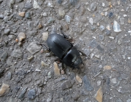
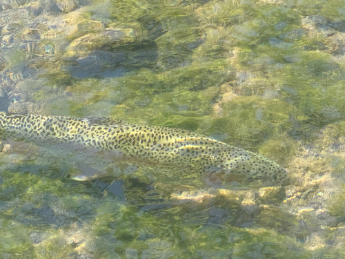
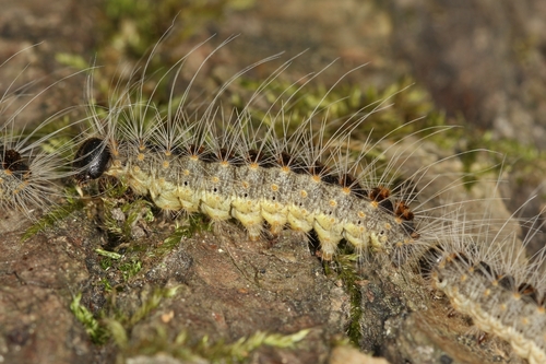
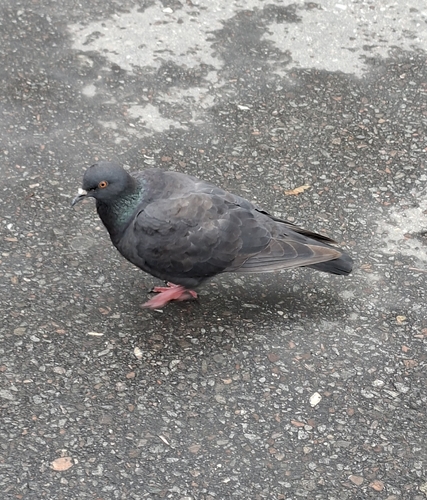
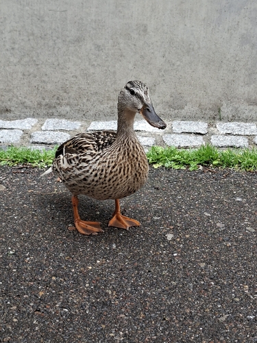
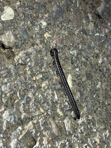
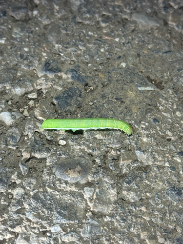
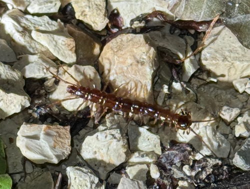
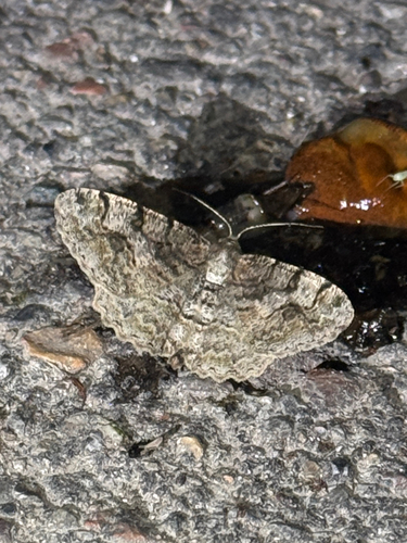
Research-grade observations from iNaturalist (within ~15 mi).
Events
Notable, recurring, and historical events associated with Ulm, sourced from Wikidata.
- Q134651521May 29, 2025recurring event edition
- Q133092367Sep 23, 1997recurring event edition
- Q133092296Sep 21, 1970recurring event edition
- Q13142956festival
Source: Wikidata (CC0).
Gallery
Geotagged photos within ~6 miles of Ulm, from Wikimedia Commons contributors.


.jpg)
.jpg)
.jpg)
.jpg)
.jpg)
.jpg)


.jpeg)


.jpg)
.jpg)
Photos via Wikimedia Commons — see each image page for license & attribution.
Official Identifiers
Destatis — German Federal Statistical Office
- AGS
- 08421000
- Population (Wikidata)
- 129,942
- Wikidata
- Q3012
Amtlicher Gemeindeschlüssel (AGS) via Wikidata P439
Sources
- • Wikipedia
- • Wikimedia Commons
- • Wikidata
- • Open-Meteo Air Quality (CAMS)
- • USGS Earthquake Catalog (global feed)
- • GBIF (Global Biodiversity Information Facility)
- • iNaturalist
- • Open-Meteo / sunrise-sunset.org
- • Wikipedia Pageviews API
- • Open Library
- • Wikidata SPARQL (CC0) — population, area, elevation, inception, head of government, Commons image
- • Destatis — German Federal Statistical Office — Amtlicher Gemeindeschlüssel (AGS) via Wikidata P439