Browse / Germany / Baden-Württemberg / Waiblingen
Waiblingen
Baden-Württembergtown

Waiblingen
Total population
55,449
Demographic figures from Destatis. Overview below cites Wikipedia and may reference a different year.
City facts
Sister cities
Facts from Wikidata (CC0).
Overview
Waiblingen is a city in southwestern Germany, in the state of Baden-Württemberg. It lies in the eastern part of the Stuttgart metropolitan region on the river Rems, and is the seat and largest city of the Rems-Murr district. As of 31 December 2024, Waiblingen had 57,313 inhabitants in its central town and five outlying districts.
Read more on WikipediaHistory & geography
History
The earliest archaeological finds in the area date from the Neolithic, as early as 5,000 BCE. Between 155 and 260, Waiblingen lay just inside the borders of the Roman Empire in the province of Germania Superior; the nearest border defenses of the Limes in Welzheim were only about 25 kilometers away. Near Beinstein, the remains of a Roman artisan's village were found, producing earthenware and ceramics which were traded in a range of up to 100 kilometers. Little evidence exists for Waiblingen's history during and after the fall of the Western Roman Empire, a time known as the Migration Period. Writing in 1666, local chronicler Wolfgang Zacher relates that older sources spoke of the town being destroyed in around 450 by Huns which were part of Attila's forces. The town was part of the tribal confederation of the Alemanni between the 5th and 8th century, who were gradually christianized and subjugated by the Franks, until Carloman summarily executed all Alemannic nobility at the blood court at Cannstatt in 746. By the 9th century, Waiblingen had become an important religious, economic, and administrative center in the region. This is evidenced by the erection of a Kaiserpfalz ("imperial palace") in the town by Carolingian rulers. While no archaeological evidence for this palace has been found, it is theorized to have been located in the area of the Rathausplatz (city hall square). Chronicler Wolfgang Zacher asserts that emperor Charlemagne visited Waiblingen in 801, although there is no contemporary evidence for such a visit. The last East Frankish ruler of the Carolingian dynasty, Louis the Child, also signed an act in Waiblingen in December 908, after which there is no further documentary evidence for roughly 140 years. The town reached the height of its importance…
Geography
Waiblingen is bisected by the river Rems, which enters the district from the southeast near Beinstein, and then flows through the city center, including the eastern part of the old town. It subsequently cuts deep into the area's Muschelkalk limestone, and runs northwest in several meandering bends between the outlying districts of Neustadt, Hohenacker, and Hegnach, on its way to its confluence with the Neckar in Remseck. The city of Waiblingen consists of the inner city of Waiblingen proper, and the outlying districts of Beinstein, Bittenfeld, Hegnach, Hohenacker, and Neustadt, which were incorporated during municipal reforms in 1971 and 1975. Each of these five districts has its own local council as defined by the Baden-Württemberg municipal code. Due to urban expansion, modern Waiblingen is almost contiguous with its neighbouring towns of Fellbach in the west, Kernen in the south, and Korb in the east.
Excerpted from the corresponding Wikipedia article (CC BY-SA).
Geography
Coordinates & boundaries from the US Census TIGER/Line shapefiles.
Climate
Air quality
Walkability
Amenities nearby
Wildlife & biodiversity
Most-observed species
- Great TitParus major Linnaeus, 1758 · Aves10,776
- Carrion CrowCorvus corone Linnaeus, 1758 · Aves10,197
- Eurasian BlackbirdTurdus merula Linnaeus, 1758 · Aves9,904
- Eurasian Blue TitCyanistes caeruleus (Linnaeus, 1758) · Aves9,186
- Common Wood-PigeonColumba palumbus Linnaeus, 1758 · Aves7,740
- Common BuzzardButeo buteo (Linnaeus, 1758) · Aves7,682
- Common ChaffinchFringilla coelebs Linnaeus, 1758 · Aves7,414
- Great Spotted WoodpeckerDendrocopos major (Linnaeus, 1758) · Aves6,682
Citizen-science & research observations from the Global Biodiversity Information Facility (GBIF).
Earthquake history
Most recent
- M 3.4 — 2022-10-16Baden-Wurttemberg, Germany
- M 4 — 2022-07-092 km NNE of Grosselfingen, Germany
- M 3.1 — 2008-12-253 km NNW of Saulgau, Germany
- M 2.5 — 2008-12-122 km ESE of Nehren, Germany
- M 2.8 — 2008-11-251 km S of Steinmauern, Germany
- M 2.7 — 2008-07-091 km WSW of Dußlingen, Germany
Events from the USGS Earthquake Catalog (global) (FDSN Event Web Service).
Photos
Sights & places nearby
Notable people from here


People born within ~10 km, from Wikidata (CC0). Click any name for their Wikipedia article.
Nearby places in Baden-Württemberg
- Beinstein1.6 mi away · pop. 4,000
- Rommelshausen1.7 mi away
- Kleinheppach2.7 mi away
- Neckarrems3.2 mi away · pop. 4,765
- Großheppach3.2 mi away
- Hanweiler3.6 mi away
- Weiler zum Stein5.4 mi away
- Höfen5.7 mi away
- Nellmersbach6.3 mi away
- Bretzenacker6.5 mi away · pop. 300
- Hößlinswart6.6 mi away · pop. 700
- Ödernhardt7 mi away · pop. 280
Geography & sun
Elevation, sunrise/sunset and daylight from Open-Meteo. Solar climatology from NASA POWER.
Nearby airports
Public attention
Pageview totals from the Wikimedia Pageviews API.
Books about Waiblingen
Search results from Open Library.
Recent natural events nearby
Ground air-quality sensors
Recently spotted species
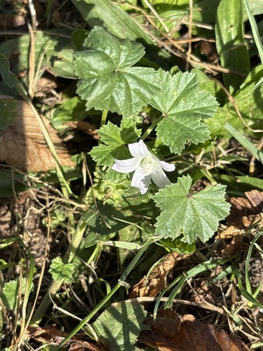
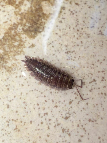
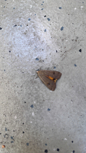
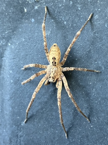
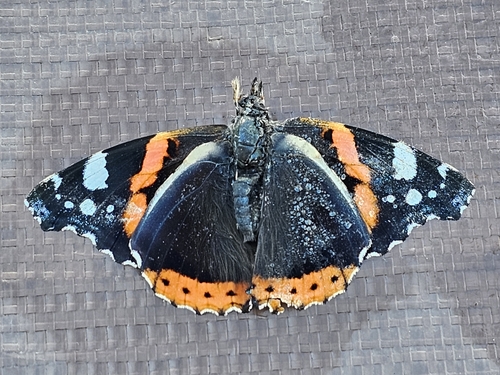
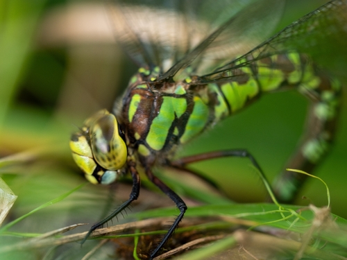
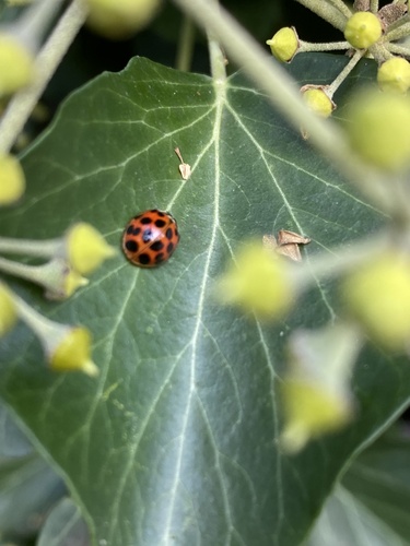
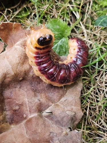
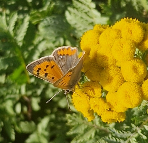
Research-grade observations from iNaturalist (within ~15 mi).
Events
Notable, recurring, and historical events associated with Waiblingen, sourced from Wikidata.
Source: Wikidata (CC0).
Gallery
Official Identifiers
Destatis — German Federal Statistical Office
- AGS
- 08119079
- Population (Wikidata)
- 55,917
- Wikidata
- Q4140
Amtlicher Gemeindeschlüssel (AGS) via Wikidata P439
Sources
- • Wikipedia
- • Wikidata
- • USGS Earthquake Catalog (global feed)
- • GBIF (Global Biodiversity Information Facility)
- • iNaturalist
- • Open-Elevation
- • Open-Meteo / sunrise-sunset.org
- • Wikipedia Pageviews API
- • Open Library
- • Wikidata SPARQL (CC0) — population, area, elevation, inception, head of government, Commons image
- • Destatis — German Federal Statistical Office — Amtlicher Gemeindeschlüssel (AGS) via Wikidata P439