Browse / Germany / Bayern / Waldsassen
Waldsassen
Bayerntown

Waldsassen
Total population
7,501
Air quality index
Demographic figures from Destatis. Overview below cites Wikipedia and may reference a different year.
City facts
Sister cities
Facts from Wikidata (CC0).
Overview
Waldsassen is a town in the district of Tirschenreuth in the Upper Palatinate region of Bavaria.
Read more on WikipediaHistory & geography
History
The Cistercian Waldsassen Abbey was founded on 1 October 1133 by the Bavarian noble Margrave Diepold III of Vohburg. An Imperial abbey from 1214 onwards, it fell to Palatinate-Mosbach-Neumarkt branch of the House of Wittelsbach under the rule of Count Palatine Otto II in 1465. The Palatinate rulers had the monastery dissolved in the course of the Protestant Reformation in 1571, whereafter the premises were used as tenements. Not until the 17th century new building arose in the vicinity, while after the Counter-Reformation, the abbey from 1661 onwards was resettled with Cistercian monks descending from Fürstenfeld Abbey. However, Waldsassen again was secularised during the 1803 German Mediatisation. Part of the Kingdom of Bavaria from 1806, the local economy, mainly porcelain and glassblowing industries, was boosted by the opening of the Wiesau–Cheb railway line in 1865. Prince Regent Luitpold vested Waldsassen with city rights in 1896. The monastery again became a priory of Cistercian nuns in 1863 and again achieved the status of an independent abbey in 1925. The monastery church received the papal title of basilica minor in 1969.
Geography
Waldsassen is the northernmost municipality of the Upper Palatinate region. In the northeast, it borders the town of Cheb (Eger) in the Czech Republic. The historic tripoint of ducal Altbayern, the Franconian lands of Bayreuth, and the Bohemian Egerland lies near the village of Pechtnersreuth. The town is famous for the Waldsassen Basilica and Waldsassen Abbey, both built in a Baroque style. The latter contains the much visited Abbey library, whose wood carvings were completed by Karl Stilp in 1726. Four km north of the town, on Glasberg hill, is the Chapel of the Trinity (Dreifaltigkeitskirche Kappl), built in 1689, and a popular pilgrimage destination because of its quirky architecture.
Excerpted from the corresponding Wikipedia article (CC BY-SA).
Geography
Coordinates & boundaries from the US Census TIGER/Line shapefiles.
Climate
10-year averages from ERA5 reanalysis (Open-Meteo).
Air quality
Current readings from Open-Meteo Air Quality API (Copernicus CAMS European reanalysis).
Walkability
Amenities nearby
Wildlife & biodiversity
Most-observed species
- MallardAnas platyrhynchos Linnaeus, 1758 · Aves641
- Eurasian BlackbirdTurdus merula Linnaeus, 1758 · Aves597
- Mute SwanCygnus olor (J.F.Gmelin, 1789) · Aves526
- Great TitParus major Linnaeus, 1758 · Aves523
- Eurasian Blue TitCyanistes caeruleus (Linnaeus, 1758) · Aves521
- Eurasian MagpiePica pica (Linnaeus, 1758) · Aves472
- Common BuzzardButeo buteo (Linnaeus, 1758) · Aves469
- Eurasian JayGarrulus glandarius (Linnaeus, 1758) · Aves445
Citizen-science & research observations from the Global Biodiversity Information Facility (GBIF).
Earthquake history
Most recent
- M 3.2 — 2018-05-222 km ENE of Luby, Czechia
- M 4.1 — 2018-05-212 km SSE of Erlbach, Germany
- M 3.8 — 2014-05-314 km NE of Skalná, Czechia
- M 4 — 2011-09-045 km WSW of Habartov, Czechia
- M 2.9 — 2008-11-234 km SW of Oloví, Czechia
- M 2.9 — 2008-10-313 km NW of Zwota, Germany
Events from the USGS Earthquake Catalog (global) (FDSN Event Web Service).
Photos
Sights & places nearby
Notable people from here


People born within ~10 km, from Wikidata (CC0). Click any name for their Wikipedia article.
Nearby places in Bayern
- Oschwitz6.4 mi away
- Hohenberg an der Eger7.5 mi away · pop. 1,531
- Waldershof10.8 mi away · pop. 2,830
- Thierstein11.6 mi away · pop. 1,311
- Bärnau14.4 mi away · pop. 1,492
- Schönwald16.5 mi away · pop. 3,697
- Kirchenlamitz18.9 mi away · pop. 3,303
- Pressath23.2 mi away · pop. 4,670
- Frauenricht24.4 mi away
- Neustadt am Kulm24.4 mi away · pop. 1,318
- Ermersricht24.9 mi away · pop. 28
- Halmersricht24.9 mi away
Geography & sun
Elevation, sunrise/sunset and daylight from Open-Meteo. Solar climatology from NASA POWER.
Nearby airports
Public attention
Pageview totals from the Wikimedia Pageviews API.
Books about this place
Recent natural events nearby
Ground air-quality sensors
Recently spotted species
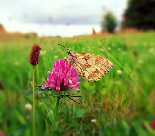
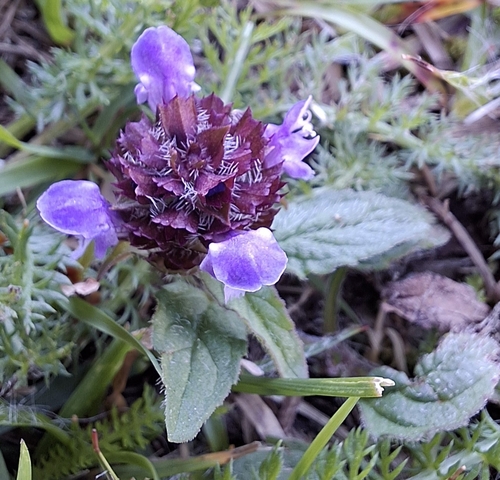
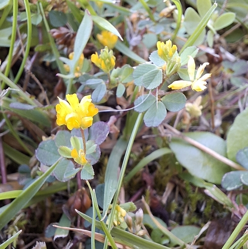
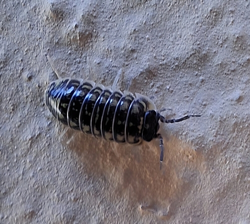
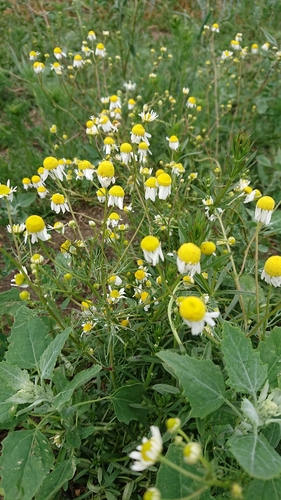
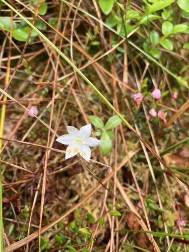
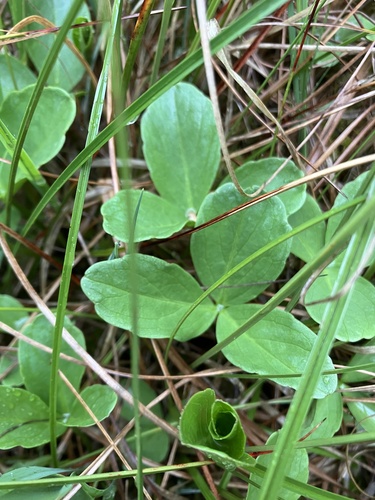
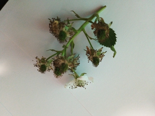

Research-grade observations from iNaturalist (within ~15 mi).
Events
Gallery
Official Identifiers
Destatis — German Federal Statistical Office
- AGS
- 09377158
- Population (Wikidata)
- 6,666
- Wikidata
- Q241889
Amtlicher Gemeindeschlüssel (AGS) via Wikidata P439
Sources
- • Wikipedia
- • Open-Meteo (ERA5 reanalysis)
- • Wikidata
- • Open-Meteo Air Quality (CAMS)
- • USGS Earthquake Catalog (global feed)
- • GBIF (Global Biodiversity Information Facility)
- • iNaturalist
- • Open-Elevation
- • Open-Meteo / sunrise-sunset.org
- • Wikipedia Pageviews API
- • Wikidata SPARQL (CC0) — population, area, elevation, inception, head of government, Commons image
- • Destatis — German Federal Statistical Office — Amtlicher Gemeindeschlüssel (AGS) via Wikidata P439