Browse / Germany / Baden-Württemberg / Weilheim an der Teck
Weilheim an der Teck
Baden-Württembergtown

Weilheim an der Teck
Total population
10,397
Demographic figures from Destatis. Overview below cites Wikipedia and may reference a different year.
City facts
Sister cities
Facts from Wikidata (CC0).
Overview
Weilheim an der Teck is a town in the district of Esslingen in Baden-Württemberg in southern Germany. It is situated 7 km southeast of Kirchheim unter Teck, and 13 km southwest of Göppingen. Locals often refer to it as just "Weilheim", although there are in fact several "Weilheims" in Germany including one other in Baden-Württemberg.
Read more on WikipediaHistory & geography
History
Finds from prehistoric and ancient times indicate a very early settlement of Weilheim space. The oldest written mention of the place can be found on 1 October 769 in a deed of Lorsch Abbey. In the years 1050 to 1070 founded Berthold II, Duke of Carinthia of the House of Zähringen the Limburg and a provost in Weilheim, which remained during 20 years the headquarter of the House of Zährigen. In 1319 count Ulrich of Aichelberg rose Weilheim to a city, which was fortified and rapidly gained importance because of the market law. 1334 sold Graf Brun of Kirchberg the place for 7,500 guilders to the House of Württemberg. 1432 in turn sold Peter von Liebenstein and his son-in-law Kaspar Schlats the pledge shank to Hans of Wernau. In 1461 a fire destroyed the core city. 1489 the Peterskirche (Peter church) was built with its great variety of equipment in late Gothic style. From the Reformation, the town was the location of a Protestant church and was assigned to the administrative of until its abolition. In the years 1634-1638 the plague raged in the city, 1505 people died. During the Thirty Years' War Swedish troops looted the place in 1647. The town hall was built on the marketplace in 1777. In 2009 a modern designed building with underground parking was erected. The town was entirely a farming community until mid-19th century. At the end of the 19th century industrial development began hesitantely. In 1858 the post-Kirchheim Weilheim was set up. In 1884 a weaving plant was built, the first larger industrial company. In 1908 the railway Kirchheim (Teck) south-Weilheim (Teck) was put into operation. The passenger transport ended on September 25, 1982, the freight transport ended in 1986. From 1922 to 1924, the urban water supply was established through water pipes. From…
Excerpted from the corresponding Wikipedia article (CC BY-SA).
Geography
Coordinates & boundaries from the US Census TIGER/Line shapefiles.
Climate
10-year averages from ERA5 reanalysis (Open-Meteo).
Air quality
Walkability
Amenities nearby
Wildlife & biodiversity
Most-observed species
- Great TitParus major Linnaeus, 1758 · Aves1,466
- Eurasian BlackbirdTurdus merula Linnaeus, 1758 · Aves1,441
- Carrion CrowCorvus corone Linnaeus, 1758 · Aves1,344
- Eurasian Blue TitCyanistes caeruleus (Linnaeus, 1758) · Aves1,331
- Common BuzzardButeo buteo (Linnaeus, 1758) · Aves1,166
- Common ChaffinchFringilla coelebs Linnaeus, 1758 · Aves1,100
- European RobinErithacus rubecula (Linnaeus, 1758) · Aves969
- Great Spotted WoodpeckerDendrocopos major (Linnaeus, 1758) · Aves947
Citizen-science & research observations from the Global Biodiversity Information Facility (GBIF).
Earthquake history
Most recent
- M 3.4 — 2022-10-16Baden-Wurttemberg, Germany
- M 4 — 2022-07-092 km NNE of Grosselfingen, Germany
- M 3.1 — 2008-12-253 km NNW of Saulgau, Germany
- M 2.5 — 2008-12-122 km ESE of Nehren, Germany
- M 2.7 — 2008-07-091 km WSW of Dußlingen, Germany
- M 2.5 — 2008-07-032 km W of Dußlingen, Germany
Events from the USGS Earthquake Catalog (global) (FDSN Event Web Service).
Photos
Sights & places nearby
Notable people from here


People born within ~10 km, from Wikidata (CC0). Click any name for their Wikipedia article.
Nearby places in Baden-Württemberg
- Nabern2.5 mi away · pop. 1,881
- Ochsenwang2.8 mi away
- Dettingen unter Teck3.9 mi away
- Owen4.4 mi away · pop. 3,533
- Unterlenningen5 mi away
- Wiesensteig5.5 mi away · pop. 2,291
- Gutenberg5.7 mi away
- Hegenlohe8.7 mi away
- Unterensingen8.8 mi away · pop. 4,491
- Zizishausen8.9 mi away · pop. 3,306
- Bartenbach9.3 mi away · pop. 3,900
- Eislingen/Fils9.6 mi away · pop. 19,840
Geography & sun
Elevation, sunrise/sunset and daylight from Open-Meteo. Solar climatology from NASA POWER.
Nearby airports
Public attention
Pageview totals from the Wikimedia Pageviews API.
Books about this place
Recent natural events nearby
Ground air-quality sensors
Recently spotted species
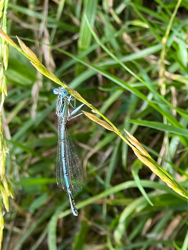
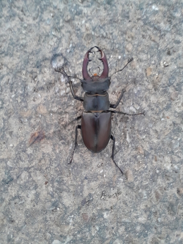
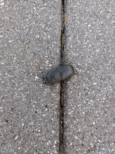
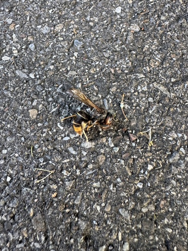
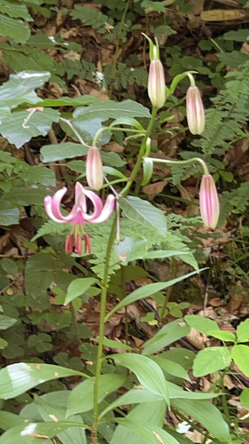
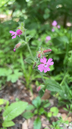
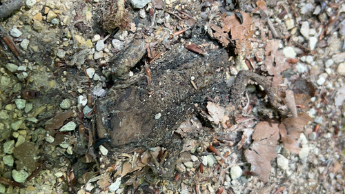
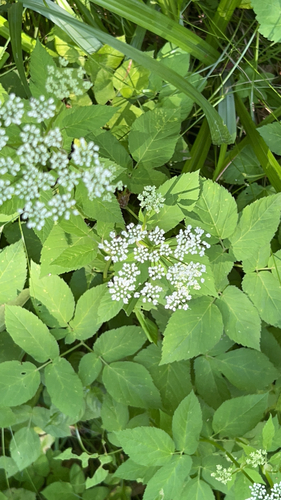
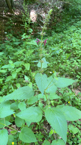
Research-grade observations from iNaturalist (within ~15 mi).
Events
Gallery
Geotagged photos within ~6 miles of Weilheim an der Teck, from Wikimedia Commons contributors.


_in_Weilheim_neben_dem_Hotel_Gasthof_zur_Post_-_panoramio.jpg)
_in_Weilheim_-_panoramio.jpg)
_02.jpg)
_01.jpg)
_03.jpg)
_02.jpg)
_01.jpg)
_04.jpg)
_03.jpg)
_02.jpg)
_01.jpg)
_02.jpg)
_01.jpg)
_04.jpg)
_05.jpg)
_03.jpg)
_08.jpg)
_07.jpg)
_06.jpg)
_09.jpg)
_10.jpg)

Photos via Wikimedia Commons — see each image page for license & attribution.
Official Identifiers
Destatis — German Federal Statistical Office
- AGS
- 08116070
- Population (Wikidata)
- 10,397
- Wikidata
- Q80678
Amtlicher Gemeindeschlüssel (AGS) via Wikidata P439
Sources
- • Wikipedia
- • Open-Meteo (ERA5 reanalysis)
- • Wikimedia Commons
- • Wikidata
- • USGS Earthquake Catalog (global feed)
- • GBIF (Global Biodiversity Information Facility)
- • iNaturalist
- • Open-Meteo / sunrise-sunset.org
- • Wikipedia Pageviews API
- • Wikidata SPARQL (CC0) — population, area, elevation, inception, head of government, Commons image
- • Destatis — German Federal Statistical Office — Amtlicher Gemeindeschlüssel (AGS) via Wikidata P439