Browse / Germany / Baden-Württemberg / Wiesloch
Wiesloch
Baden-Württembergtown

Wiesloch
Total population
26,122
Demographic figures from Destatis. Overview below cites Wikipedia and may reference a different year.
City facts
Sister cities
Facts from Wikidata (CC0).
Overview
Wiesloch is a town in northern Baden-Württemberg, Germany. It is situated 13 kilometres south of Heidelberg. After Weinheim and Sinsheim, it is the third largest town in the Rhein-Neckar-Kreis. It shares Wiesloch-Walldorf station with its neighbouring town Walldorf. Also in the vicinity of Wiesloch are Dielheim, Malsch, Mühlhausen, Rauenberg and Sankt Leon-Rot.
Read more on WikipediaHistory & geography
History
The settlement that is now Wiesloch town centre originated during the expansion of silver mining in the vicinity in the 10th century. The fossil remains of the oldest hummingbird found to date, Eurotrochilus inexpectatus, were found in a clay pit at Frauenweiler. This bird lived during the Early Oligocene (30 mya), when the area had a humid, subtropical climate similar to the northern Caribbean today. In 1077, Emperor Henry IV locked more than 100 of his enemies in the early church at Wizinloch (as the place was then known) on the site of the present Protestant church (Stadtkirche) and burnt the building down. (There is no historical evidence that HRE Henry IV did this. It's either hearsay, or a story conflated with acts perpetrated by other rulers.) There were three battles near Wiesloch, the Battle of Mingolsheim on 27 April 1622 (during the Thirty Years' War), the 1632 Battle of Wiesloch on 16 August 1632, (during the same war) and the 1799 Battle of Wiesloch on 3 December 1799 (during the War of the Second Coalition). Wiesloch was attacked on 28 January 1689 by French troops under Ezéchiel du Mas, Comte de Mélac, during the Nine Years' War, and was almost completely burnt down and destroyed. The city pharmacy in Wiesloch was the first "filling station" in the world, because Bertha Benz stopped there on 5 August 1888, on the first long distance car trip, to refill the tank of her automobile, which her husband Karl Benz had invented. She was supplied with ligroin by the apothecary Willi Ockel. In 2008, the Bertha Benz Memorial Route was officially designated an industrial heritage route, following Bertha Benz's route on the world's first long-distance journey by automobile. It is a 194 km signposted circuit from Mannheim via Heidelberg and Wiesloch to…
Geography
Wiesloch is situated partly on the southern foothills of the Odenwald, partly in the Rhine Valley, and partly in the Kraichgau. Five brooks flow through Wiesloch: the Leimbach, the Gauangelbach, the Waldangelbach, the Ochsenbach, and the Maisbach.
Excerpted from the corresponding Wikipedia article (CC BY-SA).
Geography
Coordinates & boundaries from the US Census TIGER/Line shapefiles.
Climate
10-year averages from ERA5 reanalysis (Open-Meteo).
Air quality
Walkability
Amenities nearby
Wildlife & biodiversity
Most-observed species
- Eurasian BlackbirdTurdus merula Linnaeus, 1758 · Aves6,066
- Carrion CrowCorvus corone Linnaeus, 1758 · Aves5,980
- Great TitParus major Linnaeus, 1758 · Aves5,880
- Common Wood-PigeonColumba palumbus Linnaeus, 1758 · Aves5,253
- Eurasian Blue TitCyanistes caeruleus (Linnaeus, 1758) · Aves4,720
- European RobinErithacus rubecula (Linnaeus, 1758) · Aves4,066
- Zoropsid spiderZoropsis spinimana (Dufour, 1820) · Arachnida3,927
- Gray/Purple HeronArdea cinerea Linnaeus, 1758 · Aves3,849
Citizen-science & research observations from the Global Biodiversity Information Facility (GBIF).
Earthquake history
Most recent
- M 4.1 — 2021-06-262 km SE of Hœrdt, France
- M 3.6 — 2014-05-172 km ESE of Pfungstadt, Germany
- M 3.4 — 2010-12-234 km WNW of Mainz, Germany
- M 3.4 — 2010-06-293 km NW of Hochheim am Main, Germany
- M 2.8 — 2008-11-251 km S of Steinmauern, Germany
- M 2.7 — 2008-07-091 km WSW of Dußlingen, Germany
Events from the USGS Earthquake Catalog (global) (FDSN Event Web Service).
Photos
Sights & places nearby
Notable people from here


People born within ~10 km, from Wikidata (CC0). Click any name for their Wikipedia article.
Geography & sun
Elevation, sunrise/sunset and daylight from Open-Meteo. Solar climatology from NASA POWER.
Nearby airports
Public attention
Pageview totals from the Wikimedia Pageviews API.
Books about Wiesloch
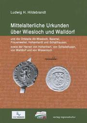
Search results from Open Library.
Recent natural events nearby
Ground air-quality sensors
Recently spotted species
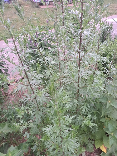
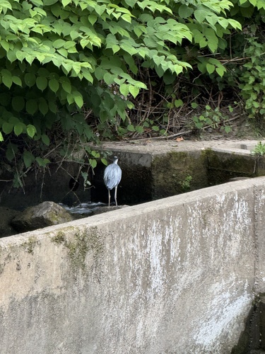
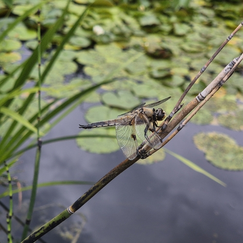
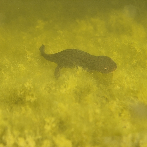
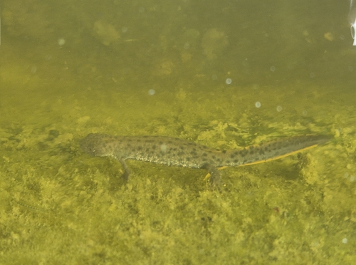
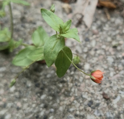
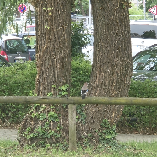
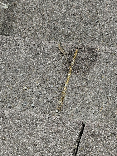
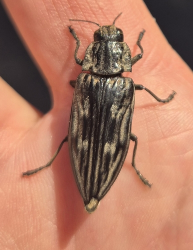
Research-grade observations from iNaturalist (within ~15 mi).
Events
Gallery
Geotagged photos within ~6 miles of Wiesloch, from Wikimedia Commons contributors.
 0 mi
0 mi 0 mi
0 mi 0 mi
0 mi 0 mi
0 mi 0 mi
0 mi 0 mi
0 mi.jpg) 0 mi
0 mi 0 mi
0 mi 0 mi
0 mi 0 mi
0 mi 0 mi
0 mi 0.1 mi
 0.1 mi
 0.1 mi
 0.2 mi
 0.2 mi
.png) 0.2 mi
0.2 mi.png) 0.2 mi
0.2 mi.png) 0.2 mi
0.2 mi 0.3 mi
 0.4 mi
 0.4 mi
 0.4 mi
 0.4 mi
Photos via Wikimedia Commons — see each image page for license & attribution.
Official Identifiers
Destatis — German Federal Statistical Office
- AGS
- 08226098
- Population (Wikidata)
- 27,120
- Wikidata
- Q22874
Amtlicher Gemeindeschlüssel (AGS) via Wikidata P439
Sources
- • Wikipedia
- • Open-Meteo (ERA5 reanalysis)
- • Wikimedia Commons
- • Wikidata
- • USGS Earthquake Catalog (global feed)
- • GBIF (Global Biodiversity Information Facility)
- • iNaturalist
- • Open-Meteo / sunrise-sunset.org
- • Wikipedia Pageviews API
- • Open Library
- • Wikidata SPARQL (CC0) — population, area, elevation, inception, head of government, Commons image
- • Destatis — German Federal Statistical Office — Amtlicher Gemeindeschlüssel (AGS) via Wikidata P439