Browse / Germany / Baden-Württemberg / Wolfach
Wolfach
Baden-Württembergtown

Wolfach
Total population
5,949
Demographic figures from Destatis. Overview below cites Wikipedia and may reference a different year.
City facts
Sister cities
Facts from Wikidata (CC0).
Overview
Wolfach is a town in the Black Forest and part of the Ortenaukreis in Baden-Württemberg (Germany) and borders the Freudenstadt and Rottweil districts.
Read more on WikipediaHistory & geography
History
Wolfach was first mentioned in 1084 as Wolphaha and was given a wide variety of names throughout the High and early Late Middle Ages including Wolphaa, Wolua, Wolfacha, Wolva, Wolfach inferius, Wolva, Wolvahe, and Wolffach. Very little is known about Wolfach before 1000 and there were likely no large settlements in the area. Under Emperor Vespasian, the Roman Empire may have built a trade and military road from Offenburg to Rottweil which passed near the town around 73 AD. The exact age of Wolfach is not known. The noble De Wolphaha family is thought to have lived in the Ruine Wolfach, a hilltop castle that lay north of the town center and was built in the late 11th century. By the 14th century, the people of Wolfach gained many civil liberties, including the freedom to hold markets. This allowed the town to grow in size and population. As early as the 15th century, the lumber trade was an important source of income for Wolfach because of its location in the Black Forest. The timber trade was aided by timber rafting, which allowed for the cheap and easy delivery of timber to places as far as Strasbourg. Timber rafting continued until the late 19th century when quicker and more efficient railways deemed the practice obsolete. In 1984, the Wolfach Kinzig Rafers Association () was created to preserve the tradition of rafting. A festival is held biennially where rafts are built and floated down the river to celebrate the town's history of rafting. Major fires have forced many of the buildings in the town center and the nearby suburbs to be rebuilt. The most recent major fire was in 1892, which burned the old town hall, school, and two neighbouring buildings. The town hall was rebuilt in 1892/93 in the neo-Renaissance style.
Geography
Wolfach lies where the two rivers Wolf and Kinzig meet in the Kinzig valley. The mountains and valleys surrounding the town stretch between 250 and 880 meters above sea level. District villages within the borough of Wolfach include Kirnbach, Halbmeil, Kinzigtal, and St. Roman. The town center was originally divided into two parts to the north and south of the Kinzig river. The north section was developed as a suburb, where the St. Laurentius–Pfarrei, a Roman Catholic church, still stands today. The south section included a market street and is still lined with shops today. Both sides of the river have been developed to including housing, shops, and other markets. They are connected by a pedestrian bridge and a larger bridge for car traffic. Due to the harsh topographical location, Wolfach has not received significant expansion. The most significant expansion was the Straßburger Hof, a suburban area which extends to the west of the town center and began construction in 1927.
Excerpted from the corresponding Wikipedia article (CC BY-SA).
Geography
Coordinates & boundaries from the US Census TIGER/Line shapefiles.
Climate
10-year averages from ERA5 reanalysis (Open-Meteo).
Air quality
Walkability
Amenities nearby
Wildlife & biodiversity
Most-observed species
- Eurasian BlackbirdTurdus merula Linnaeus, 1758 · Aves534
- Great TitParus major Linnaeus, 1758 · Aves439
- Common ChaffinchFringilla coelebs Linnaeus, 1758 · Aves431
- Eurasian MagpiePica pica (Linnaeus, 1758) · Aves411
- House SparrowPasser domesticus (Linnaeus, 1758) · Aves381
- European RobinErithacus rubecula (Linnaeus, 1758) · Aves359
- White StorkCiconia ciconia (Linnaeus, 1758) · Aves355
- Eurasian Blue TitCyanistes caeruleus (Linnaeus, 1758) · Aves355
Citizen-science & research observations from the Global Biodiversity Information Facility (GBIF).
Earthquake history
Most recent
- M 3.5 — 2024-06-271 km SSW of Todtmoos, Germany
- M 3.4 — 2022-10-16Baden-Wurttemberg, Germany
- M 3.9 — 2022-09-101 km WSW of Zimmersheim, France
- M 4 — 2022-07-092 km NNE of Grosselfingen, Germany
- M 4.1 — 2021-06-262 km SE of Hœrdt, France
- M 3.1 — 2018-05-042 km W of Schliengen, Germany
Events from the USGS Earthquake Catalog (global) (FDSN Event Web Service).
Photos
Sights & places nearby
Notable people from here


People born within ~10 km, from Wikidata (CC0). Click any name for their Wikipedia article.
Nearby places in Baden-Württemberg
- Schiltach5.6 mi away · pop. 3,803
- Triberg11.7 mi away
- St. Georgen13 mi away · pop. 13,086
- Ebersweier18.1 mi away · pop. 1,230
- Schönmünzach22.3 mi away
- Legelshurst23.5 mi away
- Obersasbach23.7 mi away
- Odelshofen23.8 mi away
- Kork24.6 mi away
- Schömberg25.5 mi away · pop. 4,620
- Kirchzarten26.1 mi away
- Buchheim26.2 mi away
Geography & sun
Elevation, sunrise/sunset and daylight from Open-Meteo. Solar climatology from NASA POWER.
Nearby airports
Public attention
Pageview totals from the Wikimedia Pageviews API.
Books about this place
Recent natural events nearby
Ground air-quality sensors
Recently spotted species
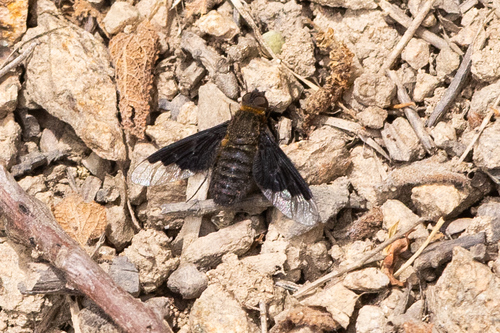
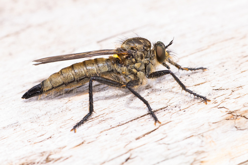
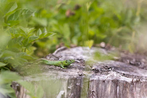
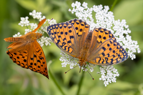
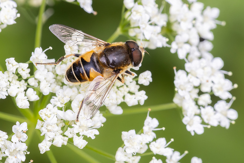
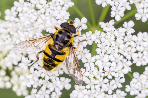
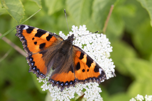
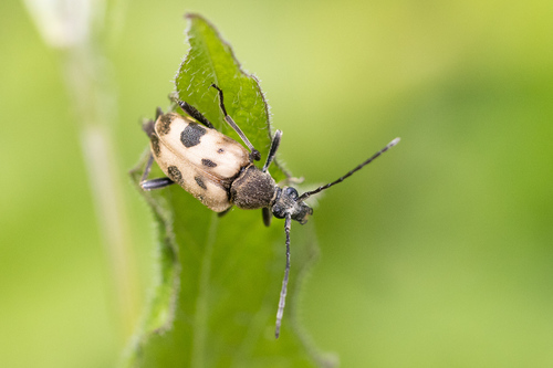
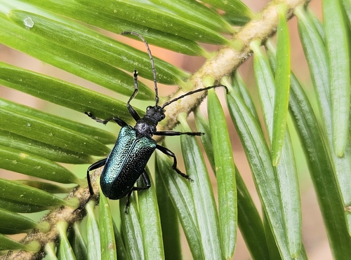
Research-grade observations from iNaturalist (within ~15 mi).
Events
Gallery
Geotagged photos within ~6 miles of Wolfach, from Wikimedia Commons contributors.


.jpg)
.jpg)


Photos via Wikimedia Commons — see each image page for license & attribution.
Official Identifiers
Destatis — German Federal Statistical Office
- AGS
- 08317145
- Population (Wikidata)
- 5,712
- Wikidata
- Q506780
Amtlicher Gemeindeschlüssel (AGS) via Wikidata P439
Sources
- • Wikipedia
- • Open-Meteo (ERA5 reanalysis)
- • Wikimedia Commons
- • Wikidata
- • USGS Earthquake Catalog (global feed)
- • GBIF (Global Biodiversity Information Facility)
- • iNaturalist
- • Open-Meteo / sunrise-sunset.org
- • Wikipedia Pageviews API
- • Wikidata SPARQL (CC0) — population, area, elevation, inception, head of government, Commons image
- • Destatis — German Federal Statistical Office — Amtlicher Gemeindeschlüssel (AGS) via Wikidata P439