Browse / Denmark / Southern Denmark / Aabenraa
Aabenraa
Southern Denmarktown

Aabenraa
Total population
16,274
Founded
1231
Demographic figures from Statistics Denmark. Overview below cites Wikipedia and may reference a different year.
City facts
Sister cities
Facts from Wikidata (CC0).
Overview
Aabenraa is a town in Southern Denmark, at the head of the Aabenraa Fjord, an arm of the Little Belt, 26 kilometres (16 mi) north of the Denmark–Germany border and 32 kilometres (20 mi) north of German town of Flensburg. It was the seat of Sønderjyllands Amt until 1 January 2007, when the Region of Southern Denmark was created as part of the 2007 Danish Municipal Reform. With a population of 16,468, Aabenraa is the largest town and the seat of the Aabenraa Municipality.
Read more on WikipediaHistory & geography
History
Aabenraa was first mentioned in historic accounts in the 12th century, when it was attacked by the Wends. After the 1948 Danish spelling reform, which abolished the digraph Aa in favor of Å, there was fervent resistance in Aabenraa. The town feared, among other things, losing its status as first in alphabetical listings (and reputedly the first town alphabetically anywhere in the world), because the letter Å is the last letter in the Dano-Norwegian alphabet. A later revision of the spelling rules allowed for retaining the Aa spelling as an option. While the municipality of Aabenraa and most local citizens use the Aa spelling, Åbenrå remains the option recommended by the Danish Language Board. On June 14, 2019, a low-end IF2/F2/T4 tornado touched down in Aabenraa. Two vehicles were flipped on the local hospital's parking lot. Another primarily rated High-end IF1/F1/T3 tornado struck åbenrå on July 13, 2023, causing moderate damage. Some trees were downed & some buildings were damaged, including one commercial building that had its roof severely blown away. 6 cars were damaged with one being moved 50 Centimetres.
Excerpted from the corresponding Wikipedia article (CC BY-SA).
Geography
Coordinates & boundaries from the US Census TIGER/Line shapefiles.
Climate
Air quality
Walkability
Amenities nearby
Wildlife & biodiversity
Most-observed species
- Graylag GooseAnser anser (Linnaeus, 1758) · Aves3,784
- Eurasian BlackbirdTurdus merula Linnaeus, 1758 · Aves3,533
- Common ChaffinchFringilla coelebs Linnaeus, 1758 · Aves3,190
- MallardAnas platyrhynchos Linnaeus, 1758 · Aves3,108
- Great TitParus major Linnaeus, 1758 · Aves2,976
- Common Wood-PigeonColumba palumbus Linnaeus, 1758 · Aves2,899
- Common BuzzardButeo buteo (Linnaeus, 1758) · Aves2,824
- Mute SwanCygnus olor (J.F.Gmelin, 1789) · Aves2,786
Citizen-science & research observations from the Global Biodiversity Information Facility (GBIF).
Earthquake history
Most recent
- M 2.5 — 2003-06-1515 km SE of Nyborg, Denmark
Events from the USGS Earthquake Catalog (global) (FDSN Event Web Service).
Photos
Sights & places nearby
Notable people from here


People born within ~10 km, from Wikidata (CC0). Click any name for their Wikipedia article.
Geography & sun
Elevation, sunrise/sunset and daylight from Open-Meteo. Solar climatology from NASA POWER.
Nearby airports
Public attention
Pageview totals from the Wikimedia Pageviews API.
Books about this place
Recent natural events nearby
Ground air-quality sensors
Recently spotted species
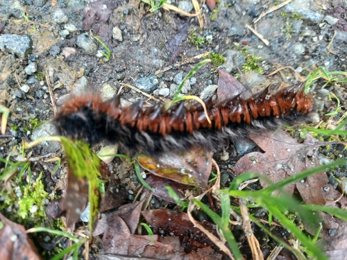
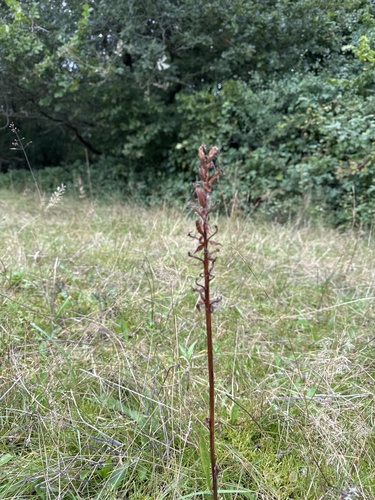
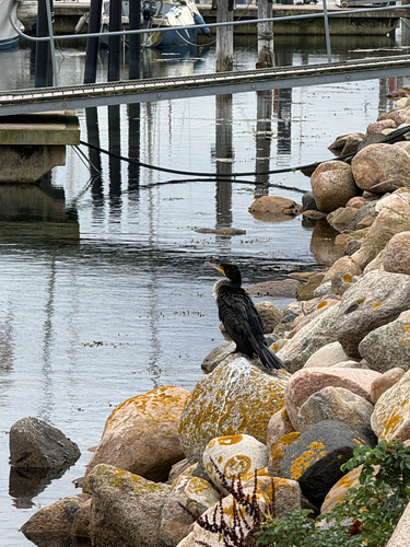

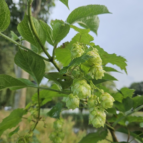
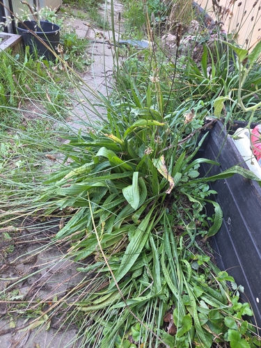
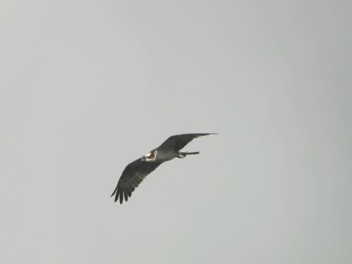
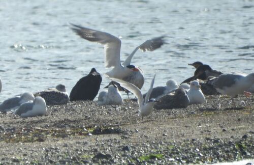
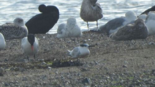
Research-grade observations from iNaturalist (within ~15 mi).
Events
Gallery
Sources
- • Wikipedia
- • Wikidata
- • USGS Earthquake Catalog (global feed)
- • GBIF (Global Biodiversity Information Facility)
- • iNaturalist
- • Open-Meteo / sunrise-sunset.org
- • Wikipedia Pageviews API