Browse / Denmark / North Denmark / Aalborg
Aalborg
North Denmarkcity

Aalborg
Total population
114,194
Founded
1342
Demographic figures from Statistics Denmark. Overview below cites Wikipedia and may reference a different year.
City facts
Facts from Wikidata (CC0).
Overview
Aalborg or Ålborg is Denmark's fourth largest city with a population of 119,862 in the town proper and an urban population of 143,598. As of 1 July 2022, the Municipality of Aalborg had a population of 221,082, making it the third most populous in the country after the municipalities of Copenhagen (capital) and Aarhus. Eurostat and OECD have used a definition for the metropolitan area of Aalborg, which includes all municipalities in the province of North Jutland, with a total population of 594,323 as of 1 July 2022.
Read more on WikipediaHistory & geography
History
The area around the narrowest point on the Limfjord attracted settlements as far back as the Iron Age, leading to a thriving Viking community until around the year 1000 in what has now become Aalborg. In the Middle Ages, the town grew thanks to royal trading privileges, a natural harbour and a thriving herring fishing industry. The following centuries brought difficulties, but the city began to prosper again towards the end of the 19th century when a bridge was built over Limfjord and the railway arrived. Aalborg's initial growth relied on heavy industry but its current development focuses on culture and education. evolved at the narrowest point on Limfjord as a result of the traffic between Himmerland to the south and Vendsyssel to the north. The first mention of Aalborg under its original name Alabu or Alabur on coins from 1040 when King Harthacnut (Hardeknud) settled in the area. In 1075, Adam of Bremen reported that Alaburg, as he called it in German, was an important harbour for ships sailing to Norway. In Valdemar's Danish Census Book from 1231 it was called Aleburgh, possibly meaning "the fort by the stream" as in Old Norse all meant "stream" or "current" and bur or burgh a fort or a castle. The Church of Our Lady in Aalborg was built in the early 12th century but demolished during the Reformation. especially from 1516 when Christian II granted it a monopoly in salting Limfjord's herring. The king often visited the town, where he held court and stayed in the old Aalborghus. The herring fishery linked Aalborg to the East coast of England, across the North Sea, both in commercial competition and cultural exchange. As such, by 1644, despite previous occupation by imperial forces from 1627 to 1629, Aalborg was a prosperous town with 3,000 to 5,000 inhabitants and…
Geography
Aalborg is in North Jutland (northwestern Denmark), at the narrowest point of the Limfjord, a shallow sound that separates North Jutlandic Island (Vendsyssel-Thy) from the rest of the Jutland Peninsula and connects Aalborg to the Kattegat about to the east. Aalborg is north of Aarhus, north of Randers, and southwest of Frederikshavn. It is by Great Belt Fixed Link to Copenhagen, by the Frederikshavn-Göteborg ferry to Gothenburg in Sweden, and by the Frederikshavn-Oslo ferry to Oslo in Norway. The area close to the waterfront is low-lying, with an elevation averaging about , Nørresundby, on the northern side of the sound, is also a hilly area. To the north of the city, villages include Vadum, Aabybro, Vestbjerg, Sulsted, Tylstrup, Vodskov, and Hjallerup. The Himmerland region to the south still has a number of moors which once formed a vast area of heathland extending to the Rold Forest near Arden. Rebild Hills in the Rold Forest stretch over of rolling heath country about south of Aalborg. Lille Vildmose, to the southeast, is reported to be the largest raised bog in north-western Europe. The city centre, dating from the Middle Ages, lies on a series of clay banks between the former streams of Vesterå and Lilleå, which used to run into the sound. Despite effective drainage, the main streets, including Algade, still run east to west while the side streets run north to south. The Budolfi Church and the old town hall line Gammeltorv, the old market square. The main shopping streets are Algade and Bispengade, the latter lying in between the modern Vesterbro thoroughfare and Nytorv square. Østerågade, once the old harbor, is noted for its merchants' mansions. covers an area of and consists mainly of farmland although there are still a few untilled areas of…
Excerpted from the corresponding Wikipedia article (CC BY-SA).
Geography
Coordinates & boundaries from the US Census TIGER/Line shapefiles.
Climate
Air quality
Walkability
Amenities nearby
Wildlife & biodiversity
Most-observed species
- Common BuzzardButeo buteo (Linnaeus, 1758) · Aves4,376
- Common Wood-PigeonColumba palumbus Linnaeus, 1758 · Aves3,230
- Eurasian Marsh-HarrierCircus aeruginosus (Linnaeus, 1758) · Aves3,082
- Whooper SwanCygnus cygnus (Linnaeus, 1758) · Aves3,021
- Common CraneGrus grus (Linnaeus, 1758) · Aves2,981
- Common ChiffchaffPhylloscopus collybita (Vieillot, 1817) · Aves2,888
- Eurasian KestrelFalco tinnunculus Linnaeus, 1758 · Aves2,877
- Eurasian BlackbirdTurdus merula Linnaeus, 1758 · Aves2,843
Citizen-science & research observations from the Global Biodiversity Information Facility (GBIF).
Earthquake history
Most recent
- M 2.5 — 2008-04-259 km NNW of Strandby, Denmark
- M 2.6 — 2005-06-083 km WNW of Skagen, Denmark
- M 2.7 — 2005-04-2624 km N of Hirtshals, Denmark
- M 3.1 — 2004-11-2459 km E of Hals, Denmark
Events from the USGS Earthquake Catalog (global) (FDSN Event Web Service).
Photos
Sights & places nearby
Notable people from here


People born within ~10 km, from Wikidata (CC0). Click any name for their Wikipedia article.
Nearby places in North Denmark
- Nørresundby1 mi away · pop. 22,859
- Visse3.7 mi away
- Dall Villaby4 mi away · pop. 4,550
- Gistrup4.4 mi away · pop. 3,500
- Nøvling5.2 mi away · pop. 393
- Vadum5.3 mi away · pop. 2,300
- Svenstrup5.4 mi away · pop. 7,056
- Klarup5.4 mi away · pop. 4,450
- Vodskov5.8 mi away · pop. 4,400
- Vestbjerg6.1 mi away · pop. 2,700
- Ferslev6.5 mi away · pop. 719
- Stae6.6 mi away · pop. 400
Geography & sun
Elevation, sunrise/sunset and daylight from Open-Meteo. Solar climatology from NASA POWER.
Nearby airports
Public attention
Pageview totals from the Wikimedia Pageviews API.
Books about Aalborg
Search results from Open Library.
Recent natural events nearby
Ground air-quality sensors
Recently spotted species
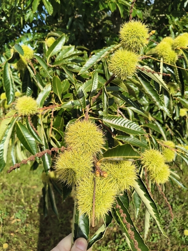
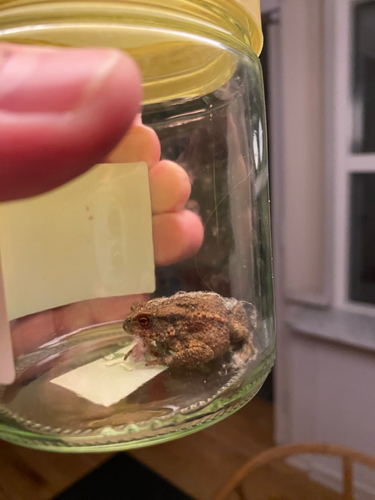
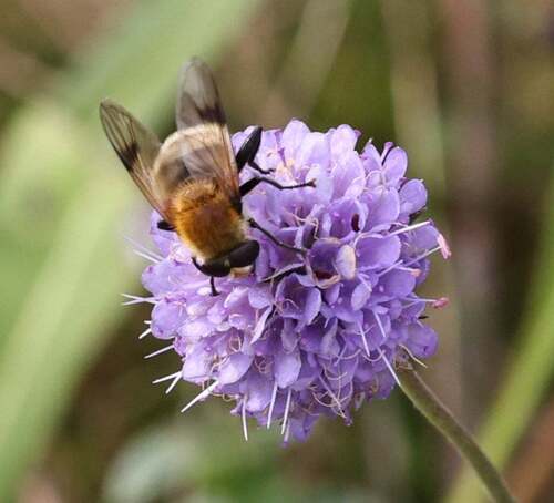
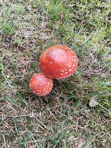
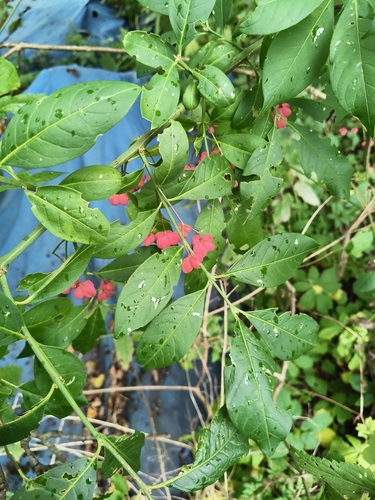
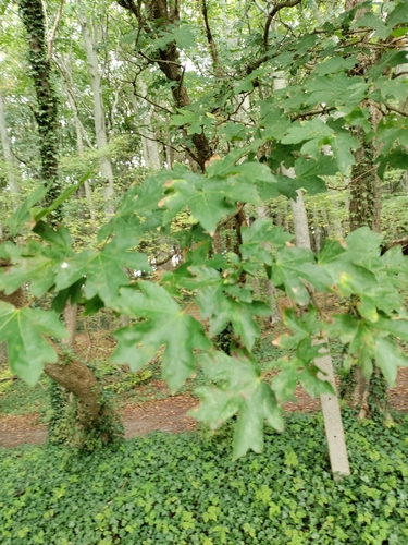
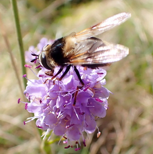

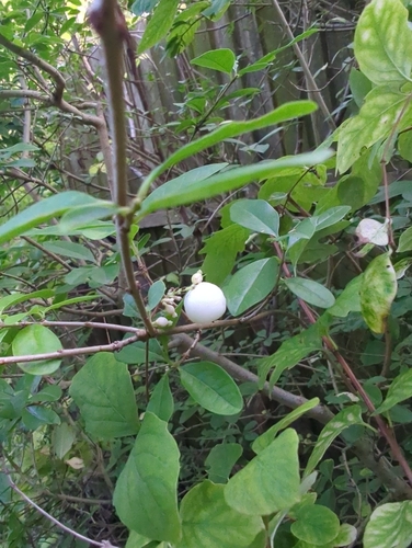
Research-grade observations from iNaturalist (within ~15 mi).
Events
Gallery
Geotagged photos within ~6 miles of Aalborg, from Wikimedia Commons contributors.
 0 mi
0 mi 0 mi
0 mi 0 mi
0 mi 0 mi
0 mi 0 mi
0 mi 0 mi
0 mi 0 mi
0 mi 0 mi
0 mi 0 mi
0 mi 0 mi
0 mi 0 mi
0 mi 0 mi
0 mi 0 mi
0 mi 0.1 mi
 0.1 mi
 0.1 mi
 0.1 mi
 0.1 mi
 0.1 mi
 0.1 mi
 0.1 mi
 0.1 mi
 0.1 mi
 0.1 mi
Photos via Wikimedia Commons — see each image page for license & attribution.
Sources
- • Wikipedia
- • Wikimedia Commons
- • Wikidata
- • USGS Earthquake Catalog (global feed)
- • GBIF (Global Biodiversity Information Facility)
- • iNaturalist
- • Open-Meteo / sunrise-sunset.org
- • Wikipedia Pageviews API
- • Open Library