Browse / Denmark / Central Denmark / Aarhus
Aarhus
Central Denmarkcity

Aarhus
Total population
273,077
Air quality index
Demographic figures from Statistics Denmark. Overview below cites Wikipedia and may reference a different year.
City facts
Facts from Wikidata (CC0).
Overview
Aarhus is the second-largest city in Denmark and the seat of Aarhus Municipality. It is located on the eastern shore of Jutland in the Kattegat sea and approximately 187 kilometres (116 mi) northwest of Copenhagen. Its urban population was 305,227 in 2026.
Read more on WikipediaHistory & geography
History
Founded in the early Viking Age, Aarhus is one of the oldest cities in Denmark, along with Ribe and Hedeby. The original Aros settlement was situated on the northern shores of a fjord by the mouth of the Aarhus River, right where the city centre is today. It quickly became a hub for sea-going trade due to its position on intersecting trade routes in the Danish Straits and the fertile countryside. The trade, however, was not nearly as prominent as that in Ribe and Hedeby during the Viking Age, and it was primarily linked to Norway as evidenced by archaeological finds. A shipbuilding yard from the Viking Age was uncovered upriver in 2002 by archaeologists. It was located at a place formerly known as Snekkeeng, or Snekke Meadow in English ('Snekke' is a type of longship), east of the Brabrand Lake close to Viby, and it was in use for more than 400 years from the late 700s till around the mid-1200s. Archaeological evidence indicates that Aarhus was a town as early as the last quarter of the 8th century. Discoveries after a 2003 archaeological dig included half-buried longhouses, firepits, glass pearls and a road dated to the late 700s. Several excavations in the inner city since the 1960s have revealed wells, streets, homes and workshops, and inside the buildings and adjoining archaeological layers, everyday utensils like combs, jewellery and basic multi-purpose tools from approximately the year 900 have been unearthed. The early town was fortified with defensive earthen ramparts in the first part of the 900s, possibly in the year 934 on order from king Gorm the Old. The fortifications were later improved and expanded by his son Harald Bluetooth, encircling the settlement much like the defence structures found at Viking ring fortresses elsewhere. The centre of…
Geography
Aarhus is located at the Bay of Aarhus facing the Kattegat sea in the east with the peninsulas of Mols and Helgenæs across the bay to the northeast. Mols and Helgenæs are both part of the larger regional peninsula of Djursland. A number of larger cities and towns are within easy reach of Aarhus by road and rail, including Randers ( by road north), Grenå (northeast), Horsens ( south) and Silkeborg ( east). At Aarhus's location, the Bay of Aarhus provides a natural harbour with a depth of quite close to the shore. Aarhus was founded at the mouth of a brackish water fjord, but the original fjord no longer exists, as it has gradually narrowed into what is now the Aarhus River and the Brabrand Lake, due to natural sedimentation. The land around Aarhus was once covered by forests, remains of which exist in parts of Marselisborg Forest to the south and Riis Skov to the north. Several lakes extend west from the inner city as the landscape merges with the larger region of Søhøjlandet with heights exceeding at Himmelbjerget between Skanderborg and Silkeborg. The highest natural point in Aarhus Municipality is Jelshøj at 128 metres above sea level, in the southern district of Højbjerg. The hilltop is home to a Bronze Age barrow shrouded in local myths and legends. The hilly area around Aarhus consists of a morainal plateau from the last ice age, broken by a complex system of tunnel valleys. The most prominent valleys of this network are the Aarhus Valley in the south, stretching inland east–west with the Aarhus River, Brabrand Lake, Årslev Lake and Tåstrup Lake, and the Egå Valley to the north, with the stream of Egåen, Egå Engsø, the bog of Geding-Kasted Mose and Geding Lake. Most parts of the two valleys have been drained and subsequently farmed, but in the early 2000s some…
Excerpted from the corresponding Wikipedia article (CC BY-SA).
Geography
Coordinates & boundaries from the US Census TIGER/Line shapefiles.
Climate
Air quality
Current readings from Open-Meteo Air Quality API (Copernicus CAMS European reanalysis).
Walkability
Amenities nearby
Wildlife & biodiversity
Most-observed species
- Eurasian BlackbirdTurdus merula Linnaeus, 1758 · Aves20,465
- Common Wood-PigeonColumba palumbus Linnaeus, 1758 · Aves19,573
- Hooded CrowCorvus cornix Linnaeus, 1758 · Aves17,463
- Great TitParus major Linnaeus, 1758 · Aves16,809
- Eurasian Blue TitCyanistes caeruleus (Linnaeus, 1758) · Aves15,458
- Common BuzzardButeo buteo (Linnaeus, 1758) · Aves14,645
- Eurasian WrenTroglodytes troglodytes (Linnaeus, 1758) · Aves14,530
- Gray/Purple HeronArdea cinerea Linnaeus, 1758 · Aves13,497
Citizen-science & research observations from the Global Biodiversity Information Facility (GBIF).
Earthquake history
Most recent
- M 2.6 — 2005-03-1613 km NNW of Kalundborg, Denmark
- M 2.8 — 2005-03-0329 km E of Ebeltoft, Denmark
- M 3 — 2005-02-0329 km NNW of Nykøbing Sjælland, Denmark
- M 3 — 2005-02-0332 km E of Ebeltoft, Denmark
- M 2.7 — 2005-02-0132 km SE of Grenaa, Denmark
- M 2.8 — 2004-11-2413 km SSE of Ebeltoft, Denmark
Events from the USGS Earthquake Catalog (global) (FDSN Event Web Service).
Photos
Sights & places nearby
Notable people from here


People born within ~10 km, from Wikidata (CC0). Click any name for their Wikipedia article.
Nearby places in Central Denmark
- Tranbjerg5.1 mi away · pop. 7,307
- True5.1 mi away · pop. 67
- Elev6.3 mi away · pop. 1,010
- Beder-Malling6.9 mi away · pop. 8,387
- Hjortshøj7.1 mi away · pop. 3,047
- Søften7.7 mi away · pop. 2,030
- Hørning8.1 mi away · pop. 6,085
- Solbjerg8.9 mi away
- Hinnerup9.9 mi away · pop. 7,808
- Jeksen10.1 mi away
- Lading10.3 mi away
- Storring10.6 mi away
Geography & sun
Elevation, sunrise/sunset and daylight from Open-Meteo. Solar climatology from NASA POWER.
Nearby airports
Public attention
Pageview totals from the Wikimedia Pageviews API.
Books about Aarhus


Search results from Open Library.
Recent natural events nearby
Ground air-quality sensors
Recently spotted species
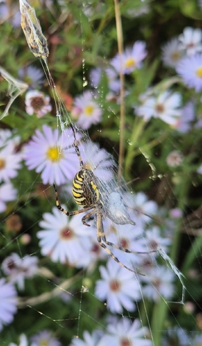
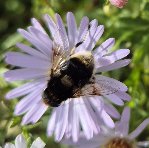
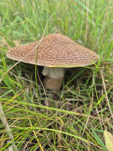

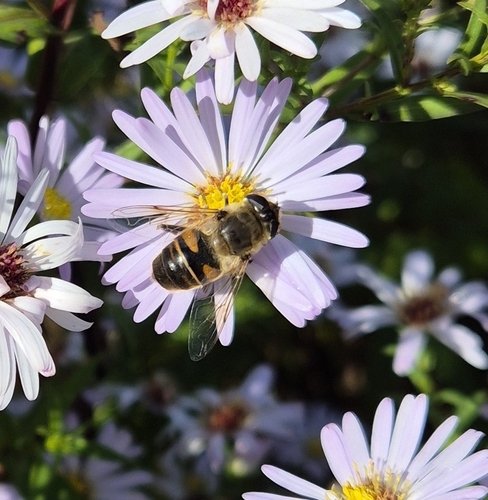
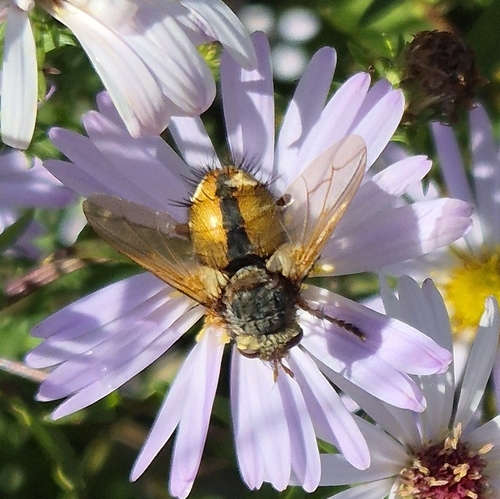
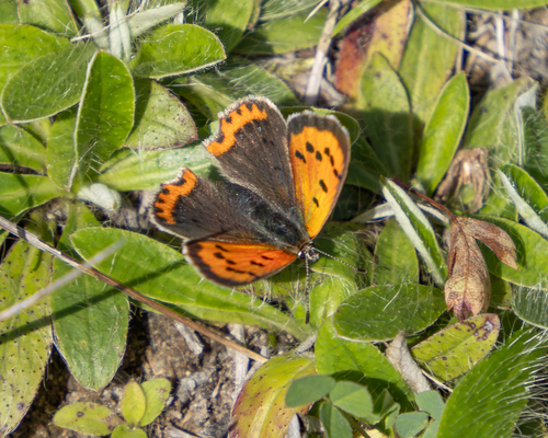
Research-grade observations from iNaturalist (within ~15 mi).
Events
Notable, recurring, and historical events associated with Aarhus, sourced from Wikidata.
- 2019 IAAF World Cross Country Championships – senior men's raceMar 30, 2019sporting event
international athletics championship event
- 2019 IAAF World Cross Country Championships – senior women's raceMar 30, 2019sporting event
international athletics championship event
- 2019 IAAF World Cross Country Championships – junior men's raceJan 1, 2019sporting event
international athletics championship event
- 2019 IAAF World Cross Country Championships – junior women's raceJan 1, 2019sporting event
international athletics championship event
Source: Wikidata (CC0).
Gallery
Official Identifiers
DST — Statistics Denmark
- Kommunekode
- 751
- Population (Wikidata)
- 361,544
- Wikidata
- Q240262
Municipality code via Wikidata P1168
Sources
- • Wikipedia
- • Wikidata
- • Open-Meteo Air Quality (CAMS)
- • USGS Earthquake Catalog (global feed)
- • GBIF (Global Biodiversity Information Facility)
- • iNaturalist
- • Open-Meteo / sunrise-sunset.org
- • Wikipedia Pageviews API
- • Open Library
- • DST — Statistics Denmark — Municipality code via Wikidata P1168