Browse / Denmark / Southern Denmark / Christiansfeld
Christiansfeld
Southern Denmarkvillage

Christiansfeld
Total population
2,709
Founded
1773
Demographic figures from Statistics Denmark. Overview below cites Wikipedia and may reference a different year.
City facts
Facts from Wikidata (CC0).
Overview
Christiansfeld, with a population of 3,105, is a town in Kolding Municipality in Southern Jutland in Region of Southern Denmark. The town was founded in 1773 by the Moravian Church and named after the Danish king Christian VII. Since July 2015 it has been a UNESCO World Heritage Site, highlighting its status as the best-preserved example of the town-planning and architecture of the Moravian Church.
Read more on WikipediaHistory & geography
History
Most of Christiansfeld was constructed in the years 1773–1800, following a strict city plan that drew inspiration from the earlier Moravian settlements of Herrnhaag and Gnadau. The church also sold its schools at this time due to the declining membership of its congregation. From 1970 to 2007, the town was the administrative seat of Christiansfeld Municipality, but it lost this status and was placed in the Kolding Municipality as a part of the Municipal Reform of 2007 (Kommunalreformen 2007). In 2009 Kolding Municipality and Realdania-foundation agreed on a 100 million DKK restoration project of the inner-city. In 2012 the A.P. Møller og Hustru Chastine Mc-Kinney Møllers Fond donated 60 million DKK for the restoration of the Sister's House.
Excerpted from the corresponding Wikipedia article (CC BY-SA).
Geography
Coordinates & boundaries from the US Census TIGER/Line shapefiles.
Climate
Air quality
Walkability
Amenities nearby
Wildlife & biodiversity
Earthquake history
Photos
Sights & places nearby
Notable people from here


People born within ~10 km, from Wikidata (CC0). Click any name for their Wikipedia article.
Geography & sun
Nearby airports
Public attention
Books about this place
Recent natural events nearby
Ground air-quality sensors
Recently spotted species
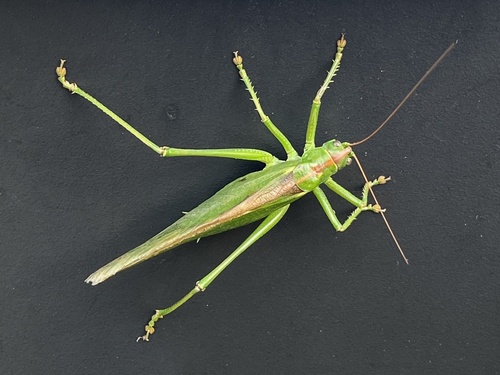
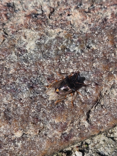
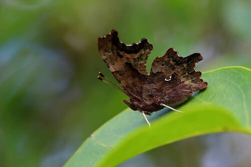
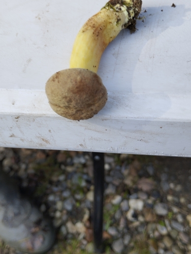
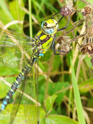
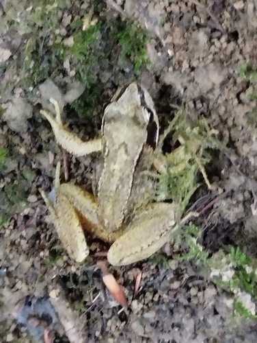
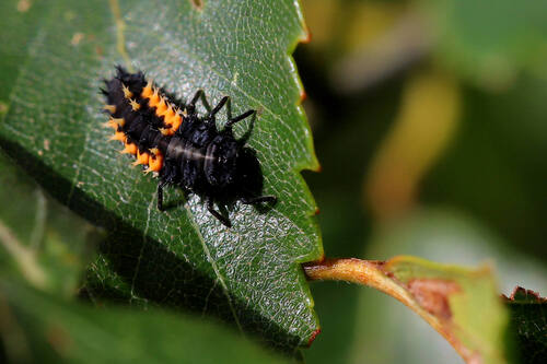
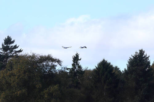
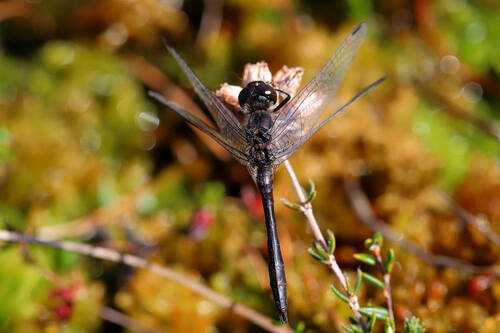
Research-grade observations from iNaturalist (within ~15 mi).
Events
Gallery
Official Identifiers
DST — Statistics Denmark
- Kommunekode
- 509
- Wikidata
- Q3166405
Municipality code via Wikidata P1168
Sources
- • Wikipedia
- • Wikidata
- • iNaturalist
- • DST — Statistics Denmark — Municipality code via Wikidata P1168