Browse / Denmark / Southern Denmark / Esbjerg
Esbjerg
Southern Denmarkcity

Esbjerg
Total population
72,398
Founded
1868
Air quality index
Demographic figures from Statistics Denmark. Overview below cites Wikipedia and may reference a different year.
City facts
Facts from Wikidata (CC0).
Overview
Esbjerg is a seaport city and seat of Esbjerg Municipality on the west coast of the Jutland peninsula in southwestern Denmark. By road, it is 71 kilometres (44 mi) west of Kolding and 164 kilometres (102 mi) southwest of Aarhus. With an urban population of 71,371 it is the fifth-largest city in Denmark, and the largest in West Jutland.
Read more on WikipediaHistory & geography
Geography
The town is situated on the southwestern coast of Denmark, and is a port on the North Sea. By road, it is west of Kolding, southwest of Aarhus, west of Copenhagen and southwest of Aalborg. By sea, it is situated roughly northeast of Harwich, England. As a result of planned development, the older sections of the town look like a chessboard with long, wide streets with rectangular corners. between the rivers of Varde and Sneum, encompassing the coastal area of Ho Bugt and the seaside district of Hjerting to the north. Opposite Esbjerg, across Fanø Bay, is the island of Fanø, , with Nordby as its principal settlement, connected to Esbjerg by ferry. To the west of Esbjerg, the town boundary is defined by a number of small streams. The highest point is some above sea level. Esbjerg experiences an oceanic climate (Cfb in the Köppen classification; Do in the Trewartha climate classification) due to its geographical location, being next to the North Sea. Due to the presence of the sea's temperate marine currents, the city sees warm summers and rather mild winters, moderating the weather in all seasons to be mild. Unlike Denmark's eastern portion (which consists of islands), the city hardly sees any continental influences to its weather.
Excerpted from the corresponding Wikipedia article (CC BY-SA).
Geography
Coordinates & boundaries from the US Census TIGER/Line shapefiles.
Climate
Air quality
Current readings from Open-Meteo Air Quality API (Copernicus CAMS European reanalysis).
Walkability
Amenities nearby
Wildlife & biodiversity
Most-observed species
- White-tailed EagleHaliaeetus albicilla (Linnaeus, 1758) · Aves3,855
- Herring GullLarus argentatus Pontoppidan, 1763 · Aves3,694
- Eurasian OystercatcherHaematopus ostralegus Linnaeus, 1758 · Aves3,636
- European StarlingSturnus vulgaris Linnaeus, 1758 · Aves3,622
- Black-headed GullChroicocephalus ridibundus (Linnaeus, 1766) · Aves3,596
- Northern LapwingVanellus vanellus (Linnaeus, 1758) · Aves3,398
- Gray/Purple HeronArdea cinerea Linnaeus, 1758 · Aves3,320
- MallardAnas platyrhynchos Linnaeus, 1758 · Aves3,158
Citizen-science & research observations from the Global Biodiversity Information Facility (GBIF).
Earthquake history
Events from the USGS Earthquake Catalog (global) (FDSN Event Web Service).
Photos
Sights & places nearby
Notable people from here
Nearby places in Southern Denmark
- Nordby2.6 mi away · pop. 2,649
- Fanø Vesterhavsbad3.8 mi away
- Andrup4 mi away · pop. 1,238
- Tarp4.1 mi away · pop. 1,773
- Rindby Strand4.2 mi away
- Guldager Stationsby4.6 mi away
- Guldager4.8 mi away · pop. 1,022
- Bryndum4.9 mi away
- Tjæreborg5.2 mi away · pop. 2,146
- Vester Nebel6.2 mi away · pop. 417
- Store Darum8.1 mi away · pop. 907
- Sønderho8.2 mi away · pop. 275
Geography & sun
Nearby airports
Public attention
Books about this place
Recent natural events nearby
Ground air-quality sensors
Recently spotted species
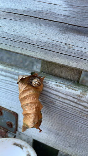
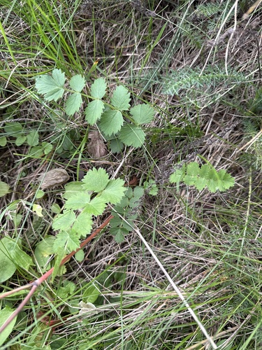
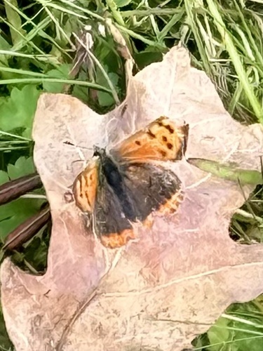
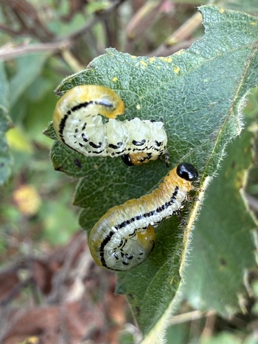

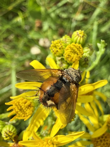
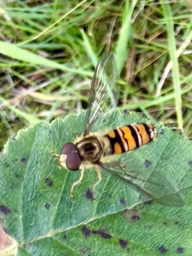

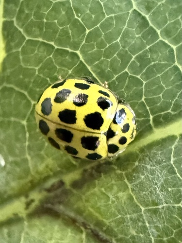
Research-grade observations from iNaturalist (within ~15 mi).
Events
Gallery
Official Identifiers
DST — Statistics Denmark
- Kommunekode
- 561
- Population (Wikidata)
- 115,748
- Wikidata
- Q645747
Municipality code via Wikidata P1168
Sources
- • Wikipedia
- • Wikidata
- • Open-Meteo Air Quality (CAMS)
- • USGS Earthquake Catalog (global feed)
- • GBIF (Global Biodiversity Information Facility)
- • iNaturalist
- • DST — Statistics Denmark — Municipality code via Wikidata P1168