Browse / Denmark / Capital Region / Frederikssund
Frederikssund
Capital Regiontown

Frederikssund
Total population
16,254
Demographic figures from Statistics Denmark. Overview below cites Wikipedia and may reference a different year.
City facts
Facts from Wikidata (CC0).
Overview
Frederikssund is a Danish town, seat of the Frederikssund Municipality, in the Region Hovedstaden with a population of 17,639. It received the status of market town in 1810. The town is famous for its annual Viking Games as well as for the J.F. Willumsen museum. Since 1935, it has been connected to Hornsherred via the Kronprins Frederik Bridge.
Read more on WikipediaHistory & geography
History
There is evidence of communities dating right back to the Stone Age with a number of burial sites in the area. It seems probable that there was a small settlement at the present location of Frederikssund in the Middle Ages but the development of the town probably began in the 12th century with the construction of a church at what was then known as Ude Sundby or Sundby Færge (Sundby Ferry). Located at a narrow point on Roskilde Fjord, Sundby Færge became the harbour for the nearby market town of Slangerup. In 1809–10, the status of market town was transferred from Slangerup to Frederikssund, named after King Frederik III. In 1868, a pontoon bridge linking Frederikssund to Hornsherred was opened. This was replaced by today's Kronprins Frederik Bridge in 1935. Frederikssund's rapid expansion from a small town at the end of the 19th century is due in large part to the railway connection with Ballerup in 1879 which was upgraded to a frequent suburban service to Copenhagen in 1989. Frederikssund was also attacked under World War II, as Kalvø was attacked by the germans in 1940.
Geography
Frederikssund is located on the east coast of Roskilde Fjord, about 45 km north-west of Copenhagen, 20 km south of Hillerød and 30 km north of Roskilde. It is less than an hour from Copenhagen by either road or rail. S-trains (suburban commuter trains) leave about once every 10 minutes. Copenhagen Airport can be reached by road or rail in about an hour. The low hills on which Frederikssund lies are formed of moraines from the last ice age. The shallow Roskilde Fjord which separates Frederikssund from Hornsherred originated in the same period. The fertile land surrounding Frederikssund is used for mixed farming - with an emphasis on cereals, root crops and pigs.
Excerpted from the corresponding Wikipedia article (CC BY-SA).
Geography
Coordinates & boundaries from the US Census TIGER/Line shapefiles.
Climate
Air quality
Walkability
Amenities nearby
Wildlife & biodiversity
Earthquake history
Photos
Sights & places nearby
Notable people from here


People born within ~10 km, from Wikidata (CC0). Click any name for their Wikipedia article.
Nearby places in Capital Region
- Græse Bakkeby1.4 mi away · pop. 2,328
- Sundbylille2.2 mi away · pop. 113
- Gerlev2.3 mi away · pop. 766
- Hørup2.8 mi away · pop. 76
- Jægerspris2.9 mi away · pop. 4,087
- Vinge3 mi away
- Over Dråby3 mi away
- Landerslev3.2 mi away · pop. 247
- Skuldelev Strand3.4 mi away
- Ølsted Sydstrand3.6 mi away · pop. 262
- Store Rørbæk3.6 mi away · pop. 569
- Lyngerup3.9 mi away · pop. 200
Geography & sun
Elevation, sunrise/sunset and daylight from Open-Meteo. Solar climatology from NASA POWER.
Nearby airports
Public attention
Pageview totals from the Wikimedia Pageviews API.
Books about this place
Recent natural events nearby
Ground air-quality sensors
Recently spotted species
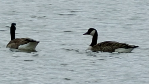

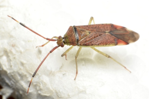
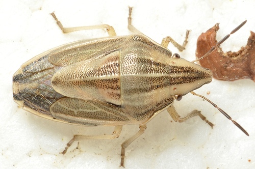
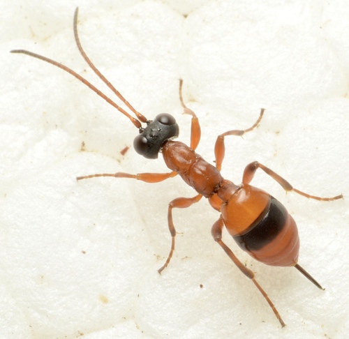


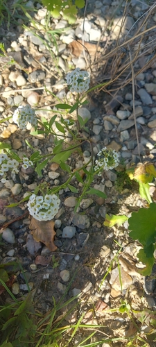
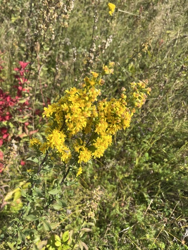
Research-grade observations from iNaturalist (within ~15 mi).
Events
Gallery
Official Identifiers
DST — Statistics Denmark
- Kommunekode
- 250
- Population (Wikidata)
- 45,439
- Wikidata
- Q503232
Municipality code via Wikidata P1168
Sources
- • Wikipedia
- • Wikidata
- • iNaturalist
- • Open-Meteo / sunrise-sunset.org
- • Wikipedia Pageviews API
- • DST — Statistics Denmark — Municipality code via Wikidata P1168