Browse / Denmark / Zealand / Gørlev
Gørlev
Zealandvillage

Gørlev
Total population
2,424
Demographic figures from Statistics Denmark. Overview below cites Wikipedia and may reference a different year.
City facts
Facts from Wikidata (CC0).
Overview
Gørlev is a town on the west coast of the island of Zealand in Denmark. It has a population of 2,405 and belongs to Kalundborg Municipality in Region Sjælland. To the west are Musholm Bugt, the Storebælt — the strait separating Zealand and the island of Funen -, and Jammerland Bugt.
Read more on WikipediaHistory & geography
History
The countryside around Gørlev - and Kalundborg Municipality in general -, is home to a number of notable prehistoric sites, including Stone Age passage graves and various Bronze Age mounds. The passage grave of Rævehøj (Fox-hill) near the hamlet of Dalby, is known for its rare rock carvings. As many other Stone Age constructions, it was also used throughout the Bronze Age as well. In Gørlev Church's entryway are two Viking Age runestones, Gørlevstenene (The Gørlev Stones), showing the entire runic alphabet known as the younger futhark. The first runestone is dated to the early 9th century, and was found on the spot in May 1921 by a bricklayer working at the church. The second runestone is dated to c. 1000, and was found in 1965 under the church tower. The only runestones in Denmark more significant than these are the Jelling stones, erected by King Harold Bluetooth c. 965 in the town of Jelling, the old Viking capital of Denmark. The nearby marshlands of Maglemose, also known as Mullerup Mose (Mullerup Marsh), is a large wetland area, which includes the lake of Tissø. Here, archaeological evidence of international importance was excavated in the years 1900 and 1902, revealing and defining the Mullerup or Maglemosian Culture that roamed Northern Europe in the Mesolithic Stone Age. They used Maglemose and the surrounding area as a summer camp for hunting and fishing. Maglemose is the oldest site of its type in the Nordic countries, and the findings bettered the understanding of the Nordic Stone Age cultures and Denmark's earliest history in particular. Two memorials commemorate the discovery site. Other attractions include Svellas Mølle (Svella's Mill), a restored windmill built in 1870 and one of Denmark's smallest mills; the agriculture museum Fløjgården; Reersø…
Excerpted from the corresponding Wikipedia article (CC BY-SA).
Geography
Coordinates & boundaries from the US Census TIGER/Line shapefiles.
Climate
Air quality
Walkability
Amenities nearby
Wildlife & biodiversity
Earthquake history
Photos
Sights & places nearby
Notable people from here


People born within ~10 km, from Wikidata (CC0). Click any name for their Wikipedia article.
Nearby places in Zealand
- Kirke Helsinge1.9 mi away · pop. 544
- Store Fuglede Stationsby3 mi away · pop. 212
- Sæby3.1 mi away · pop. 343
- Høng3.4 mi away · pop. 4,272
- Bjerge3.6 mi away · pop. 270
- Lille Høng3.8 mi away
- Løve4.6 mi away · pop. 294
- Reersø4.7 mi away · pop. 511
- Svallerup5 mi away · pop. 262
- Ubby5.3 mi away · pop. 1,932
- Ruds Vedby5.9 mi away · pop. 1,690
- Stillinge Strand6.8 mi away · pop. 281
Geography & sun
Elevation, sunrise/sunset and daylight from Open-Meteo. Solar climatology from NASA POWER.
Nearby airports
Public attention
Pageview totals from the Wikimedia Pageviews API.
Books about this place
Recent natural events nearby
Ground air-quality sensors
Recently spotted species

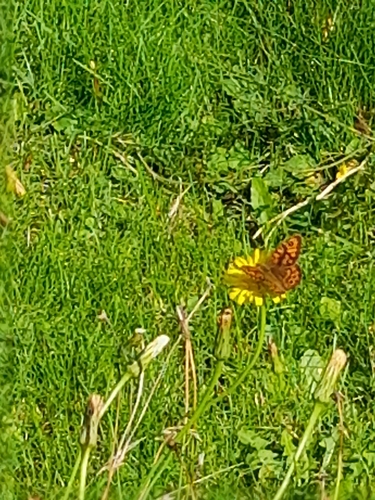
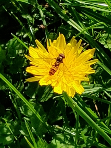
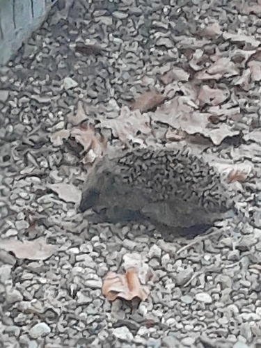
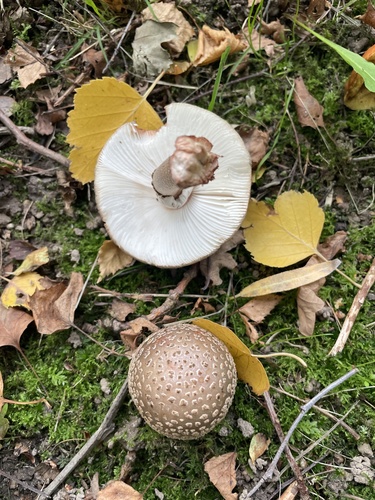
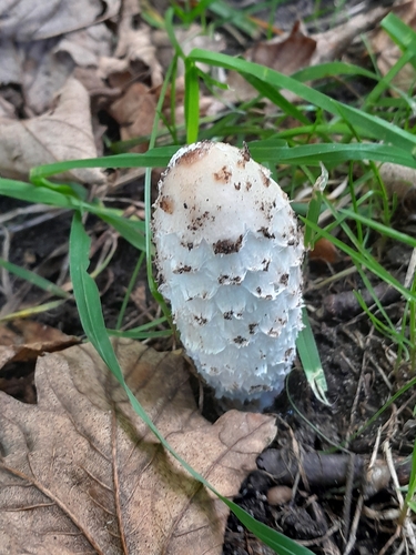
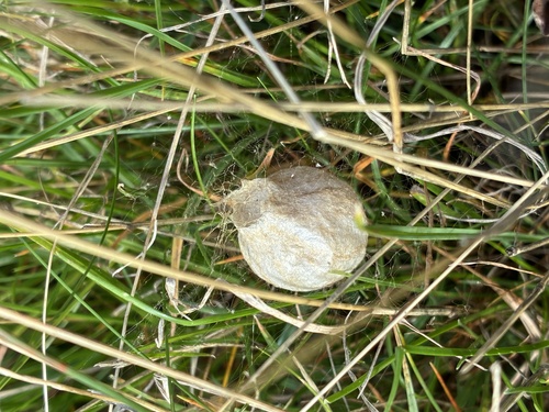
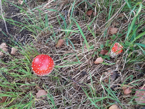
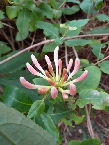
Research-grade observations from iNaturalist (within ~15 mi).
Events
Gallery
Official Identifiers
DST — Statistics Denmark
- Kommunekode
- 309
- Wikidata
- Q2033320
Municipality code via Wikidata P1168
Sources
- • Wikipedia
- • Wikidata
- • iNaturalist
- • Open-Meteo / sunrise-sunset.org
- • Wikipedia Pageviews API
- • DST — Statistics Denmark — Municipality code via Wikidata P1168