Browse / Denmark / Capital Region / Gudhjem
Gudhjem
Capital Regionvillage

Gudhjem
Total population
718
Demographic figures from Statistics Denmark. Overview below cites Wikipedia and may reference a different year.
City facts
Facts from Wikidata (CC0).
Overview
Gudhjem is a small town and fishing port on the northern coast of the Baltic island of Bornholm, Denmark. As of 1 January 2026, the town has a population of 725.
Read more on WikipediaHistory & geography
History
Its history as a fishing village goes back many years. The former church, St Anne's Chapel, now a ruin, dates from around 1300. Its harbour was first built in the middle of the 19th century but was destroyed by a storm in 1872 and rebuilt in 1889. A second harbour was constructed between 1897 and 1906 to provide a safe haven for whaling and fishing boats. It was in Gudhjem that smoked herrings were first prepared, in the town's typical smokehouses. Since the 1840s, smoked herrings have been sent to Copenhagen. The Gudhjem-Christiansø ferry has been functioning since 1684. Gudhjem is since 1893 said to be the base of the time zone in Denmark. The Gudhjem meridian (located just east of the town) is one hour east of the Greenwich meridian.
Excerpted from the corresponding Wikipedia article (CC BY-SA).
Geography
Coordinates & boundaries from the US Census TIGER/Line shapefiles.
Climate
Air quality
Walkability
Amenities nearby
Wildlife & biodiversity
Earthquake history
Photos
Sights & places nearby
Notable people from here


People born within ~10 km, from Wikidata (CC0). Click any name for their Wikipedia article.
Nearby places in Capital Region
- Melsted0.6 mi away
- Rø3 mi away · pop. 173
- Østerlars3.2 mi away · pop. 262
- Østermarie5.1 mi away · pop. 482
- Tejn6 mi away · pop. 988
- Klemensker7 mi away · pop. 657
- Listed7.2 mi away · pop. 208
- Svaneke8.5 mi away · pop. 1,074
- Allinge-Sandvig8.6 mi away · pop. 1,582
- Vestermarie9.3 mi away · pop. 244
- Nyker9.7 mi away · pop. 709
- Årsdale10 mi away · pop. 449
Geography & sun
Elevation, sunrise/sunset and daylight from Open-Meteo. Solar climatology from NASA POWER.
Nearby airports
Public attention
Pageview totals from the Wikimedia Pageviews API.
Books about this place
Recent natural events nearby
Ground air-quality sensors
Recently spotted species
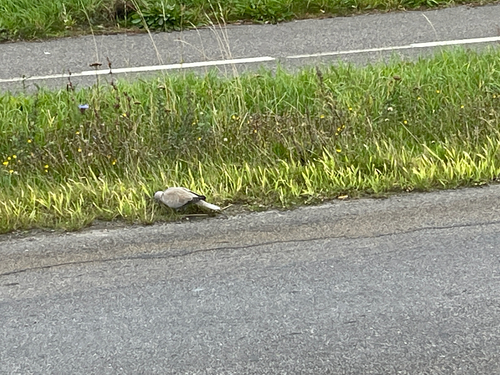
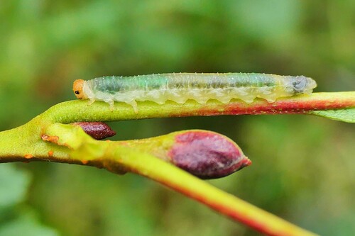
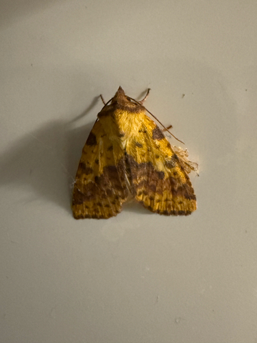
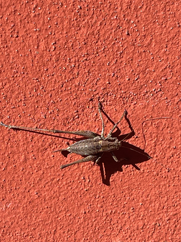
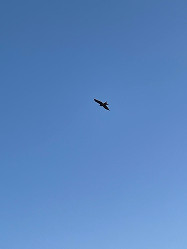
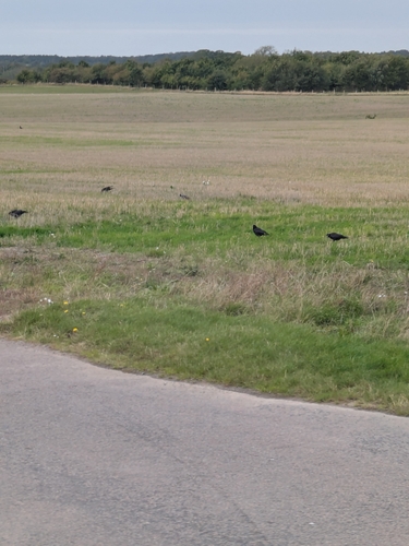
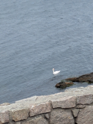
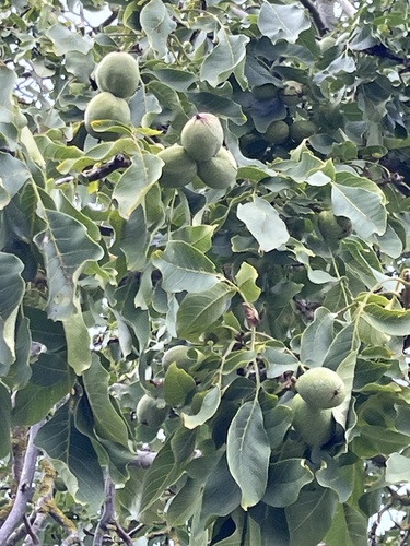
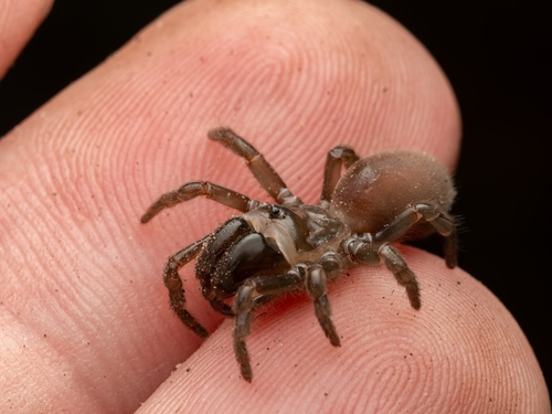
Research-grade observations from iNaturalist (within ~15 mi).
Events
Gallery
Sources
- • Wikipedia
- • Wikidata
- • iNaturalist
- • Open-Meteo / sunrise-sunset.org
- • Wikipedia Pageviews API