Browse / Denmark / North Denmark / Hadsund
Hadsund
North Denmarktown

Hadsund
Total population
5,003
Founded
1854
Demographic figures from Statistics Denmark. Overview below cites Wikipedia and may reference a different year.
City facts
Facts from Wikidata (CC0).
Overview
Hadsund is a town in the eastern part of Jutland with a population of 4,902. The town is located by the narrow strait of Hadsund, along an inlet of the Mariager Fjord. It is situated south of the city of Aalborg and north of the city of Randers. The town is a part of Mariagerfjord Municipality in the North Denmark Region. Until 2007, Hadsund was the administrative seat of Hadsund Municipality.
Read more on WikipediaHistory & geography
History
Archeological finds in Hadsund indicate that the area has seen human settlement since the Iron Age. A burial mound has been dated to as early as 250,000 BCE and a grave just north of the town has been dated to between 175–374 CE. Since the at least the 12th century, Hadsund has been a crossing point over the Mariager Fjord. However, little is known of the town's history from the Middle Ages. The establishment of the settlement was tied Hadsund strait's use as a crossing point, though its growth may have relied on fishing prospects in the fjord. In 1682, Hadsund consisted of 3 farms and 3 houses with land, cultivating a total area of 56.3 barrels of land. During the 1600s, a permanent ferry service was established crossing the Hadsund strait. The ferry was then based on the southern side of the fjord, in what is now Hadsund Syd. There were three or four houses there to accommodate the customs officer and ferrymen. Between 1772 and 1802, the ferry's base was relocated to the northern side of the fjord. In 1769, Erik Pontoppidan recorded in Den Danske Atlas that the Dalsgaard estate, located just east of village, was using the crossing at Hadsund as a loading dock for its agricultural goods. Hadsund was officially founded on 1 December 1854 when it received trading post privileges (handelspladsprivilegier), though it was never granted market town rights. Before 1854, only the ferry terminals on either side of the fjord could conduct trade in the area. After trading privileges were granted, the village began to develop rapidly. Several merchants established warehouses, however the financial crisis of 1857 bankrupted three of four trading houses. Despite the setbacks of the financial crisis, the city continued to expand in the late 19th century. In 1861, a commercial…
Geography
Much like the rest of Denmark, Hadsund is relatively dry and sunny with temperatures typically between 5 °C and 10 °C. Summers have an average maximum temperatures around 20 °C and minimums around 12 °C. Temperatures in the summer occasionally exceed 25 °C, though rarely reach beyond 30 °C. Autumn typically has temperatures between 6–12 °C and sees significant rainfall. The winters have average temperatures between -3 °C and +2 °C. Temperatures rarely fall below -10 °C and precipitation often alternates between rain, sleet, and snow. The Köppen Climate Classification subtype for the region is "Cfb" (Marine West Coast Climate/Oceanic climate). Hadsund is surrounded by several forests, including Marienhøj Plantage, of which 20 hectares has been protected since 1956. To the west of the city lies Linddalene, a forest which has been protected since 1992. Lindalene was originally part of the Dalsgaard estate, but is today owned Mariagerfjord Municipality. The north-western corner of the forest contains Lindhøj, the city's Iron Age burial mound which has been protected since 1937.
Excerpted from the corresponding Wikipedia article (CC BY-SA).
Geography
Coordinates & boundaries from the US Census TIGER/Line shapefiles.
Climate
Air quality
Walkability
Amenities nearby
Wildlife & biodiversity
Most-observed species
- Whooper SwanCygnus cygnus (Linnaeus, 1758) · Aves1,898
- White-tailed EagleHaliaeetus albicilla (Linnaeus, 1758) · Aves1,862
- Common BuzzardButeo buteo (Linnaeus, 1758) · Aves1,708
- Common ChaffinchFringilla coelebs Linnaeus, 1758 · Aves1,647
- Eurasian BlackbirdTurdus merula Linnaeus, 1758 · Aves1,583
- Hooded CrowCorvus cornix Linnaeus, 1758 · Aves1,569
- MallardAnas platyrhynchos Linnaeus, 1758 · Aves1,537
- Graylag GooseAnser anser (Linnaeus, 1758) · Aves1,460
Citizen-science & research observations from the Global Biodiversity Information Facility (GBIF).
Earthquake history
Most recent
- M 2.5 — 2008-04-259 km NNW of Strandby, Denmark
- M 2.8 — 2005-03-0329 km E of Ebeltoft, Denmark
- M 3 — 2005-02-0332 km E of Ebeltoft, Denmark
- M 2.7 — 2005-02-0132 km SE of Grenaa, Denmark
- M 3.1 — 2004-11-2459 km E of Hals, Denmark
- M 2.8 — 2004-11-2413 km SSE of Ebeltoft, Denmark
Events from the USGS Earthquake Catalog (global) (FDSN Event Web Service).
Photos
Sights & places nearby
Notable people from here


People born within ~10 km, from Wikidata (CC0). Click any name for their Wikipedia article.
Nearby places in North Denmark
- Hadsund Syd0.9 mi away · pop. 482
- Norup3 mi away · pop. 274
- Assens3.6 mi away · pop. 1,522
- Skelund4 mi away · pop. 437
- Veddum4.5 mi away
- Oue5.5 mi away · pop. 346
- Astrup6.1 mi away
- Solbjerg6.2 mi away · pop. 200
- Terndrup6.8 mi away · pop. 1,600
- Rostrup7 mi away · pop. 265
- Als7.1 mi away · pop. 1,000
- Mariager7.2 mi away · pop. 2,490
Geography & sun
Elevation, sunrise/sunset and daylight from Open-Meteo. Solar climatology from NASA POWER.
Nearby airports
Public attention
Pageview totals from the Wikimedia Pageviews API.
Books about this place
Recent natural events nearby
Ground air-quality sensors
Recently spotted species
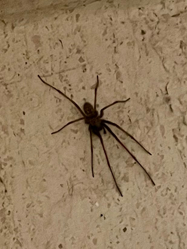
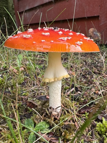
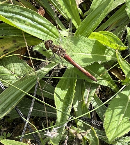
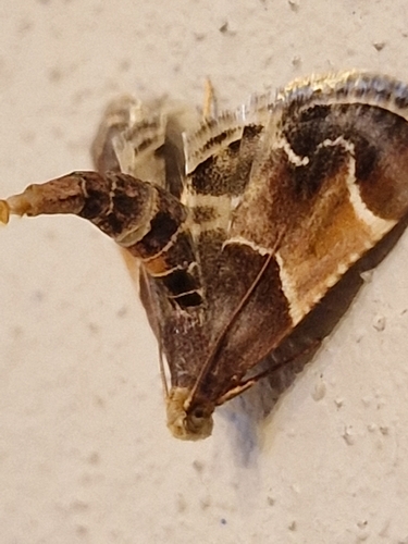
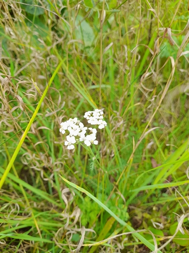
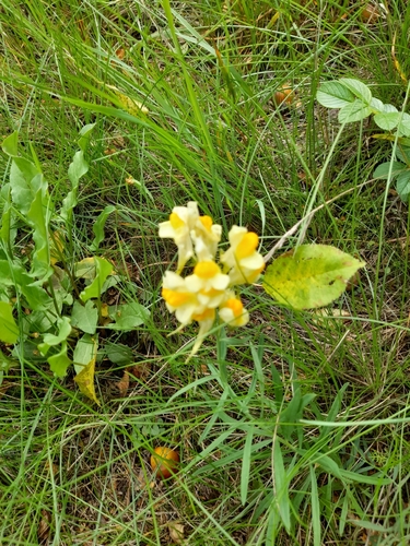
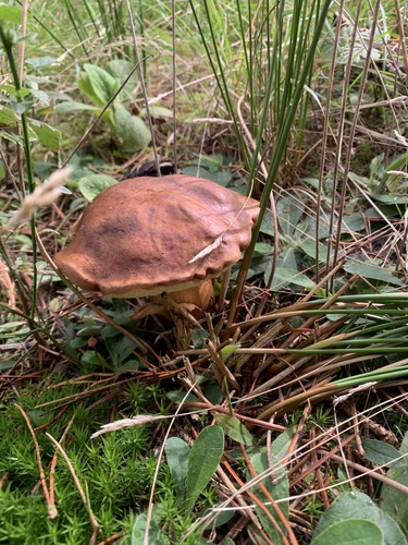
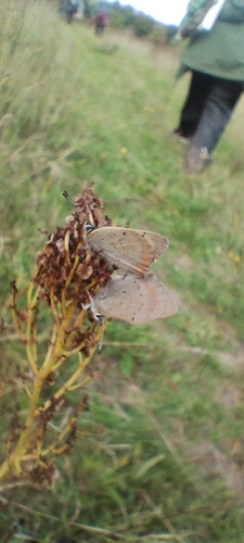
Research-grade observations from iNaturalist (within ~15 mi).
Events
Gallery
Official Identifiers
DST — Statistics Denmark
- Kommunekode
- 815
- Wikidata
- Q659065
Municipality code via Wikidata P1168
Sources
- • Wikipedia
- • Wikidata
- • USGS Earthquake Catalog (global feed)
- • GBIF (Global Biodiversity Information Facility)
- • iNaturalist
- • Open-Meteo / sunrise-sunset.org
- • Wikipedia Pageviews API
- • DST — Statistics Denmark — Municipality code via Wikidata P1168