Browse / Denmark / Central Denmark / Harlev
Harlev
Central Denmarkvillage

Harlev
Total population
3,688
Demographic figures from Statistics Denmark. Overview below cites Wikipedia and may reference a different year.
City facts
Overview
Harlev is a former railway town in Aarhus Municipality in Denmark, with a population of 4,112 as of 1 January 2026. It is a suburb only 13 kilometres west of central Aarhus and is located at the Danish national road 15.
Read more on WikipediaHistory & geography
History
Harlev developed as a railway town in 1902 when a train station of the former Hammelbanen rail road line was built on a field between the villages of Gammel Harlev and Framlev. Harlev church is still situated 1½ kilometre out of town in the older settlement of Gammel Harlev (lit.: Old Harlev). Hammelbanen formerly connected the inland town of Hammel with the port city of Aarhus and was important for the transportation of agricultural products, but it was decommissioned in 1956. The former train station in Harlev has since been restored and is currently headquarters to a local scouting group. Because of the position between Gammel Harlev and Framlev, the citizens of Harlev are still divided between the parishes of Harlev and Framlev.
Excerpted from the corresponding Wikipedia article (CC BY-SA).
Geography
Coordinates & boundaries from the US Census TIGER/Line shapefiles.
Climate
Air quality
Walkability
Amenities nearby
Wildlife & biodiversity
Earthquake history
Photos
Sights & places nearby
Notable people from here
Nearby places in Central Denmark
Geography & sun
Elevation, sunrise/sunset and daylight from Open-Meteo. Solar climatology from NASA POWER.
Nearby airports
Public attention
Pageview totals from the Wikimedia Pageviews API.
Books about this place
Recent natural events nearby
Ground air-quality sensors
Recently spotted species


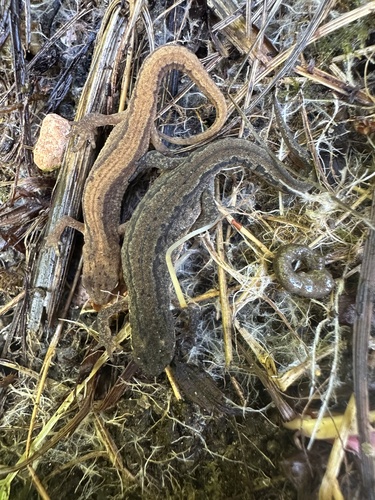


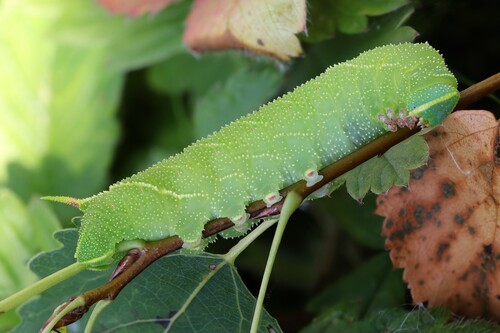
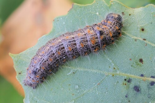
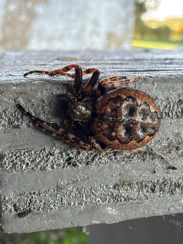
Research-grade observations from iNaturalist (within ~15 mi).
Events
Gallery
Geotagged photos within ~6 miles of Harlev, from Wikimedia Commons contributors.
 0.1 mi
 0.2 mi
 0.2 mi
 0.4 mi
 0.4 mi
 0.4 mi
 0.5 mi
 0.6 mi
 0.6 mi
 0.6 mi
 0.6 mi
 0.6 mi
 0.7 mi
 0.8 mi
 1 mi
 1.1 mi
 1.1 mi
 1.1 mi
 1.3 mi
 1.4 mi
 1.4 mi
 1.4 mi
 1.4 mi
 1.5 mi
Photos via Wikimedia Commons — see each image page for license & attribution.
Sources
- • Wikipedia
- • Wikimedia Commons
- • iNaturalist
- • Open-Meteo / sunrise-sunset.org
- • Wikipedia Pageviews API