Browse / Denmark / Capital Region / Hillerød
Hillerød
Capital Regiontown

Hillerød
Total population
32,698
Demographic figures from Statistics Denmark. Overview below cites Wikipedia and may reference a different year.
City facts
Facts from Wikidata (CC0).
Overview
Hillerød is a Danish town with a population of 36,873 located in the centre of North Zealand approximately 30 km to the northwest of Copenhagen, Denmark. Hillerød is the administrative centre of Hillerød Municipality and also the administrative seat of Region Hovedstaden, one of the five regions in Denmark. It is most known for its large Renaissance castle, Frederiksborg Castle, now home to the Museum of National History. The town is surrounded by the former royal forests of Gribskov to the north and Store Dyrehave to the south.
Read more on WikipediaHistory & geography
History
Hillerød was founded during the early medieval times. The name is first mentioned in 1552 as Hylderødz, deriving from the male name Hildi and the suffix -rød, meaning "Hildi's clearing". In 1550, crown prince Frederick acquired Hillerødsholm in exchange for other properties. His son, Christian IV, tore down most of the old buildings and built a new castle between 1602 and 1625. It was never officially incorporated as a market town but prospered from ample privileges afforded by successive monarchs, although it experienced a setback when Frederick IV moved court to Fredensborg Palace in the 1720s. Hillerød was from 1772 until 1908 named Frederiksborg after its castle. Its first town council was established in 1778 and its town shield, which features a flowering elder tree, is from 1787. It was later followed by the Gribskov Line to Græsted (80, extended to Gilleleje in 1896, Helsinge in 1897 and Tisvildeleje in 1924) and the Frederiksværk-Hundested Line (1897-1916), which further contributed to Hillerød's status as a local commercial centre. The improvements in infrastructure also attracted new industries. These included Nordstens Fabrikker, a manufacturer of agricultural machinery, which opened in 1877. A privately owned slaughterhouse and meatpacking facility, Hillerød Svineslagteri, opened in 1896. It was converted into the cooperative Hillerød Andelssvineslagteri by 300 local farmers in 1913.
Excerpted from the corresponding Wikipedia article (CC BY-SA).
Geography
Coordinates & boundaries from the US Census TIGER/Line shapefiles.
Climate
Air quality
Walkability
Amenities nearby
Wildlife & biodiversity
Earthquake history
Photos
Sights & places nearby
Notable people from here


People born within ~10 km, from Wikidata (CC0). Click any name for their Wikipedia article.
Nearby places in Capital Region
- Ny Hammersholt1.8 mi away · pop. 1,349
- Gadevang2.7 mi away · pop. 1,100
- Brødeskov2.9 mi away · pop. 221
- Nørre Herlev3 mi away · pop. 429
- Tulstrup3.6 mi away · pop. 1,220
- Nødebo3.8 mi away · pop. 1,985
- Sørup3.9 mi away · pop. 562
- Karlebo3.9 mi away · pop. 227
- Alsønderup4.1 mi away · pop. 556
- Lillerød4.4 mi away · pop. 16,878
- Fredensborg4.9 mi away · pop. 8,611
- Uvelse5 mi away · pop. 1,006
Geography & sun
Elevation, sunrise/sunset and daylight from Open-Meteo. Solar climatology from NASA POWER.
Nearby airports
Public attention
Pageview totals from the Wikimedia Pageviews API.
Books about this place
Recent natural events nearby
Ground air-quality sensors
Recently spotted species
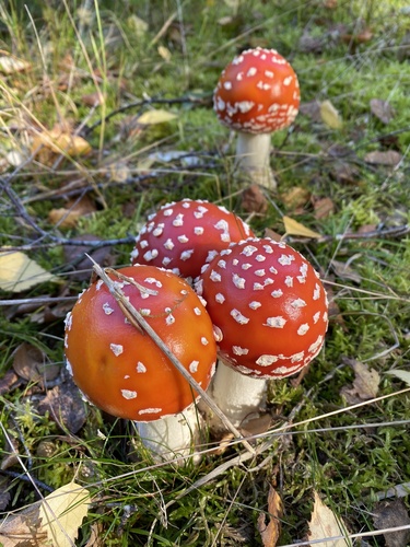
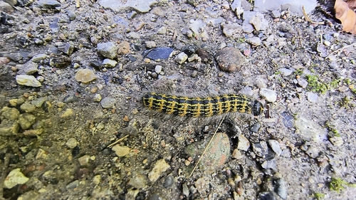
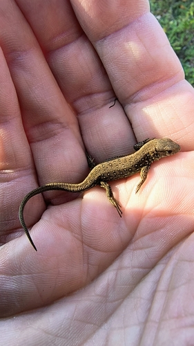
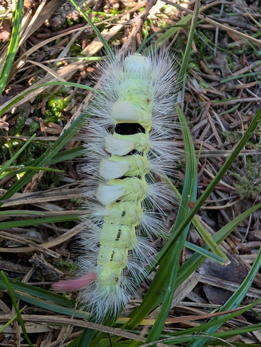
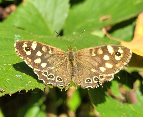
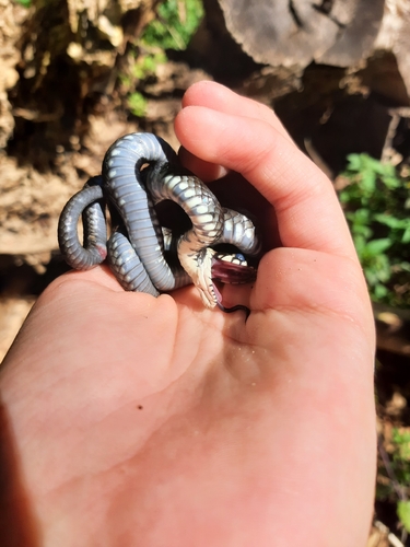
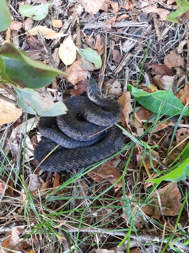
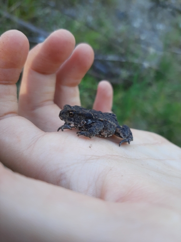
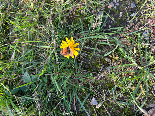
Research-grade observations from iNaturalist (within ~15 mi).
Events
Gallery
Official Identifiers
DST — Statistics Denmark
- Kommunekode
- 219
- Population (Wikidata)
- 51,528
- Wikidata
- Q221394
Municipality code via Wikidata P1168
Sources
- • Wikipedia
- • Wikidata
- • iNaturalist
- • Open-Meteo / sunrise-sunset.org
- • Wikipedia Pageviews API
- • DST — Statistics Denmark — Municipality code via Wikidata P1168