Browse / Denmark / Central Denmark / Ikast
Ikast
Central Denmarktown

Ikast
Total population
15,479
Demographic figures from Statistics Denmark. Overview below cites Wikipedia and may reference a different year.
City facts
Sister cities
Facts from Wikidata (CC0).
Overview
Ikast is a Danish town in Central Denmark Region. It is the seat of Ikast-Brande Municipality since 2007. It was the seat of the former Ikast Municipality.
Read more on WikipediaHistory & geography
History
Up until late in the nineteenth century, Ikast was nothing more than a few buildings surrounding the church. During industrialization, Ikast established a strong presence in Denmark as one of the main towns for the textile industry, which was the main industry in the area until the start of globalization, when production jobs were outsourced. The opening of the railway line in the 1850s led to an increase in population, as the existing part of town surrounding the church, and the new part of town, built around the railway station, grew into each other. The church was originally a Romanesque church, built in the 13th century. The old church burned down in 1904, and was rebuilt into the new church, which was finished in 1907. The church was expanded several times, with the latest expansion happening in 2005.
Geography
The town is situated in the middle of Jutland. The town is situated 5 km from Hammerum, which is on the Eastern outskirts of Herning Municipality. Ikast is situated 28 km from Silkeborg, and 69 km away from Aarhus.
Excerpted from the corresponding Wikipedia article (CC BY-SA).
Geography
Coordinates & boundaries from the US Census TIGER/Line shapefiles.
Climate
Air quality
Walkability
Amenities nearby
Wildlife & biodiversity
Earthquake history
Photos
Sights & places nearby
Notable people from here


People born within ~10 km, from Wikidata (CC0). Click any name for their Wikipedia article.
Geography & sun
Elevation, sunrise/sunset and daylight from Open-Meteo. Solar climatology from NASA POWER.
Nearby airports
Public attention
Pageview totals from the Wikimedia Pageviews API.
Books about this place
Recent natural events nearby
Ground air-quality sensors
Recently spotted species
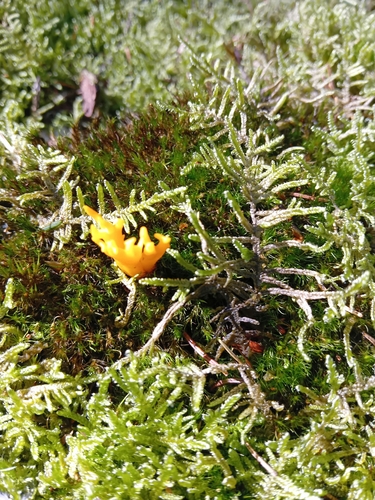
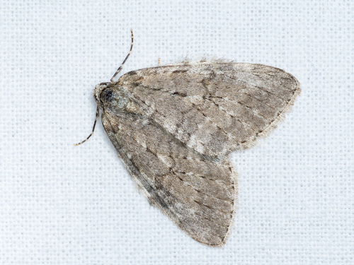
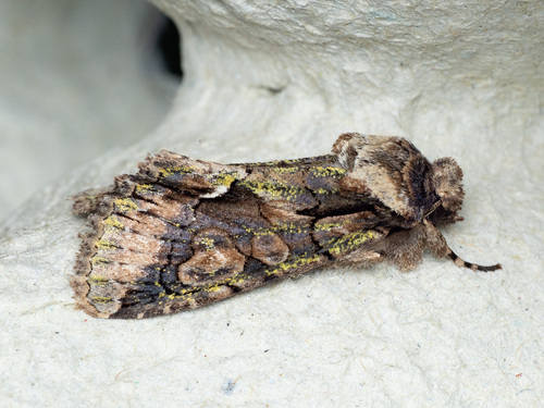
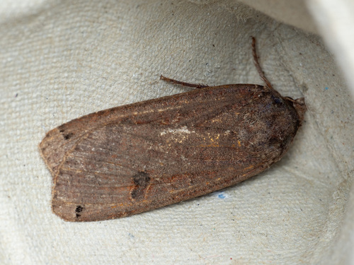
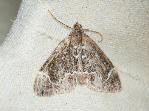
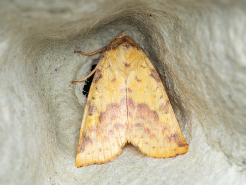
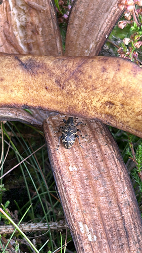

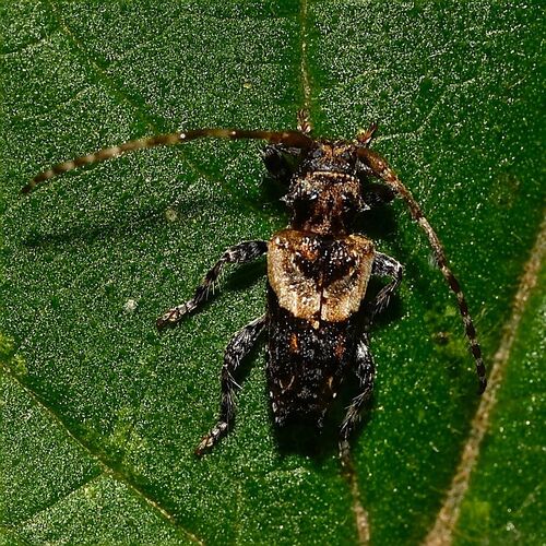
Research-grade observations from iNaturalist (within ~15 mi).
Events
Gallery
Official Identifiers
DST — Statistics Denmark
- Kommunekode
- 663
- Wikidata
- Q1816414
Municipality code via Wikidata P1168
Sources
- • Wikipedia
- • Wikidata
- • iNaturalist
- • Open-Meteo / sunrise-sunset.org
- • Wikipedia Pageviews API
- • DST — Statistics Denmark — Municipality code via Wikidata P1168