Browse / Denmark / Zealand / Køge
Køge
Zealandtown

Køge
Total population
37,040
Demographic figures from Statistics Denmark. Overview below cites Wikipedia and may reference a different year.
City facts
Facts from Wikidata (CC0).
Overview
Køge is a Danish seaport on the coast of Køge Bugt 39 km southwest of Copenhagen. It is the principal town and seat of Køge Municipality, Region Zealand, Denmark. In 2026, the urban area had a population of 38,840.
Read more on WikipediaHistory & geography
History
Like most Danish cities, the origins of Køge precede written history. Køge was first recognized as an official market town in 1288, as a Southern contrast to Roskilde, the ecclesiastical center at that time, and was an important merchant town during the late Middle Ages. During the local witchhunt, called Køge Huskors (1608–1615), at least 15 people were convicted of witchcraft and burned at the stake. During the wars between Denmark and Sweden in the period of 1643–1720, the town suffered severely at the Battle of Køge Bay. In 1807, the town and surrounding area was the scene of the Battle of Køge between British and Danish troops. Køge remained a small town until the late 19th century, when industrial development and population growth began. Today, Køge forms the core of the 18th most populous urban area in Denmark.
Geography
Køge is located at the back of Bay of Køge, demarcated by Copenhagen to the north and the Stevns Peninsula to the south, where Køge Å (Køge Creek) meets the sea. Apart from Køge proper, the town's urban area consists of the suburbs of Køge Nord (Ølby Lyng and Ølsemagle Lyng) to the north and Hastrup and Herfølge to the south.
Excerpted from the corresponding Wikipedia article (CC BY-SA).
Geography
Coordinates & boundaries from the US Census TIGER/Line shapefiles.
Climate
Air quality
Walkability
Amenities nearby
Wildlife & biodiversity
Earthquake history
Photos
Sights & places nearby
Notable people from here


People born within ~10 km, from Wikidata (CC0). Click any name for their Wikipedia article.
Nearby places in Zealand
- Ølby Lyng1.8 mi away
- Ølby2.4 mi away
- Lellinge2.8 mi away · pop. 692
- Ølsemagle Strand2.8 mi away
- Herfølge3.4 mi away · pop. 7,000
- Vedskølle3.5 mi away · pop. 285
- Strøby Egede3.6 mi away · pop. 3,951
- Lille Skensved4.1 mi away · pop. 1,606
- Valløby4.4 mi away · pop. 724
- Vemmedrup4.7 mi away · pop. 1,670
- Ejby4.8 mi away · pop. 2,861
- Jersie4.8 mi away · pop. 538
Geography & sun
Elevation, sunrise/sunset and daylight from Open-Meteo. Solar climatology from NASA POWER.
Nearby airports
Public attention
Pageview totals from the Wikimedia Pageviews API.
Books about this place
Recent natural events nearby
Ground air-quality sensors
Recently spotted species



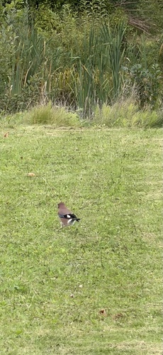
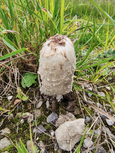
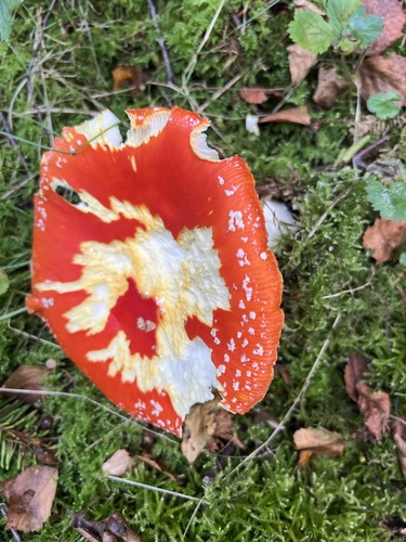

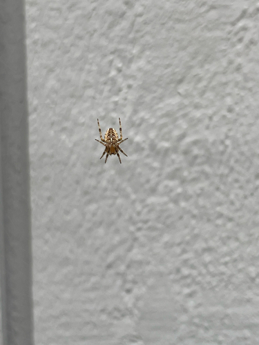
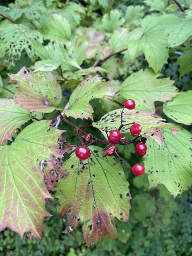
Research-grade observations from iNaturalist (within ~15 mi).
Events
Gallery
Official Identifiers
DST — Statistics Denmark
- Kommunekode
- 259
- Population (Wikidata)
- 59,868
- Wikidata
- Q504664
Municipality code via Wikidata P1168
Sources
- • Wikipedia
- • Wikidata
- • iNaturalist
- • Open-Meteo / sunrise-sunset.org
- • Wikipedia Pageviews API
- • DST — Statistics Denmark — Municipality code via Wikidata P1168