Browse / Denmark / Central Denmark / Lemvig
Lemvig
Central Denmarktown

Lemvig
Total population
6,978
Air quality index
Demographic figures from Statistics Denmark. Overview below cites Wikipedia and may reference a different year.
City facts
Sister cities
Facts from Wikidata (CC0).
Overview
Lemvig is a market town on the Limfjord in North Jutland, Denmark. The town has a population of 6,750 (2026), and is the seat of Lemvig Municipality in the Central Denmark Region.
Read more on WikipediaHistory & geography
History
The oldest record which mentions Lemvig were a series of royal letters from 1234 and 1237 which mention the town of Læmwich and Lemvich. During the Middle Ages, Lemvig remained a small town with only a church. In 1479, a fire destroyed the town hall. In 1542 King Christian III ordered the establishment a school in the town. Lemvig was designated as a market town, perhaps as early as 1471, but certainly by 1545. By 1638, it was described in priest's reports as "a small market town". By the turn of the 20th century, a number of businesses had been established in the town, including a tobacco factory, brickworks, steam mill, and a printing house. Three newspapers were in circulation: the Levig Avis, the Lemvig Daglad, and the Lemvig Folkeblad. During that year's census, of the working population: 356 were self-employed; 1,604 worked in craft and industry; 701 in trade; 533 in transportation; 283 in agriculture, forestry, and fishing; 430 in domestic labor; and 616 were unemployed. After World War II, Lemvig expanded into two new suburbs: Østerbjerg and Rønbjerg Hage, again increasing the population to 6,371 by 1965. Before the Municipal reform of 1970, Lemvig was located in Skodborg Herred within Ringkjøbing County. Following the reform, the town was made the seat of the newly established Lemvig Municipality. During the Municipal reform of 2007, Thyborøn-Harboøre Municipality was merged into Lemvig Municipality.
Geography
The town is situated 10 kilometers (6¼ miles) from the North Sea and from Copenhagen. The town takes its name from the Lem Vig (), a bay on the western part of the Limfjord, and part of Nissum Bredning. The town lies at the interior end of the bay, and originally was settled on a flat strip of land between the fjord and Lemvig Lake (), surrounded to the east and west by steep hills. Gradually, the town has expanded and spread up the sides of the valley. Until the Agger Tange was breached in 1825, Lemvig was isolated from the north sea, though it was located on the shipping route to Thy within the Limfjord. Facing the Limfjord, the harbor of the town has a 2-meter high concrete seawall to protect the city from westerly storms which push water from the North Sea into the Limfjord.
Excerpted from the corresponding Wikipedia article (CC BY-SA).
Geography
Coordinates & boundaries from the US Census TIGER/Line shapefiles.
Climate
Air quality
Current readings from Open-Meteo Air Quality API (Copernicus CAMS European reanalysis).
Walkability
Amenities nearby
Wildlife & biodiversity
Most-observed species
- MallardAnas platyrhynchos Linnaeus, 1758 · Aves1,541
- Mute SwanCygnus olor (J.F.Gmelin, 1789) · Aves1,481
- Northern LapwingVanellus vanellus (Linnaeus, 1758) · Aves1,354
- Graylag GooseAnser anser (Linnaeus, 1758) · Aves1,303
- Common BuzzardButeo buteo (Linnaeus, 1758) · Aves1,257
- Gray/Purple HeronArdea cinerea Linnaeus, 1758 · Aves1,206
- Great Cormorant/European ShagPhalacrocorax carbo (Linnaeus, 1758) · Aves1,087
- Eurasian BlackbirdTurdus merula Linnaeus, 1758 · Aves1,037
Citizen-science & research observations from the Global Biodiversity Information Facility (GBIF).
Earthquake history
Most recent
- M 3.8 — 2018-09-1623 km NW of Ulfborg, Denmark
- M 4.4 — 2010-02-1947 km WNW of Thyborøn, Denmark
- M 3.2 — 2007-07-2169 km WNW of Thyborøn, Denmark
- M 3.5 — 2001-10-2141 km WNW of Thyborøn, Denmark
Events from the USGS Earthquake Catalog (global) (FDSN Event Web Service).
Photos
Sights & places nearby
Notable people from here


People born within ~10 km, from Wikidata (CC0). Click any name for their Wikipedia article.
Geography & sun
Elevation, sunrise/sunset and daylight from Open-Meteo. Solar climatology from NASA POWER.
Nearby airports
Public attention
Pageview totals from the Wikimedia Pageviews API.
Books about this place
Recent natural events nearby
Ground air-quality sensors
Recently spotted species
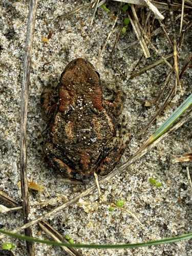
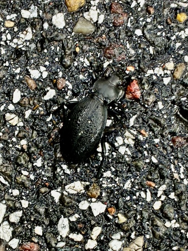
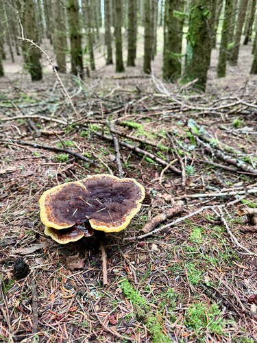

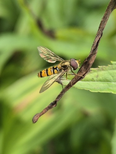
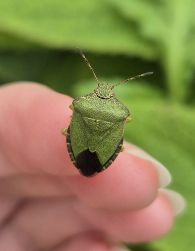
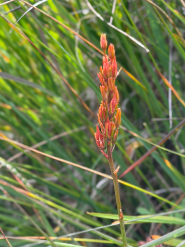
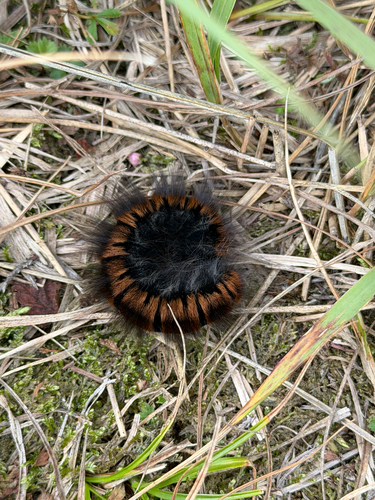
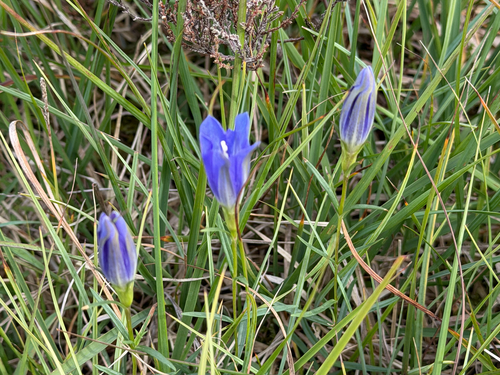
Research-grade observations from iNaturalist (within ~15 mi).
Events
Gallery
Geotagged photos within ~6 miles of Lemvig, from Wikimedia Commons contributors.
 0.1 mi
 0.1 mi
 0.1 mi
 0.1 mi
 0.1 mi
 0.1 mi
 0.1 mi
 0.1 mi
 0.1 mi
 0.1 mi
 0.1 mi
 0.2 mi
 0.2 mi
 0.2 mi
 0.2 mi
 0.2 mi
 0.2 mi
 0.2 mi
 0.2 mi
 0.2 mi
 0.2 mi
 0.2 mi
 0.2 mi
 0.2 mi
Photos via Wikimedia Commons — see each image page for license & attribution.
Sources
- • Wikipedia
- • Wikimedia Commons
- • Wikidata
- • Open-Meteo Air Quality (CAMS)
- • USGS Earthquake Catalog (global feed)
- • GBIF (Global Biodiversity Information Facility)
- • iNaturalist
- • Open-Meteo / sunrise-sunset.org
- • Wikipedia Pageviews API