Browse / Denmark / Capital Region / Liseleje
Liseleje
Capital Regionvillage

Liseleje
Total population
2,603
Demographic figures from Statistics Denmark. Overview below cites Wikipedia and may reference a different year.
City facts
Facts from Wikidata (CC0).
Overview
Liseleje is a former fishing village and popular tourist resort in Halsnæs Municipality, North Zealand, some 60 kilometres northwest of Copenhagen, Denmark. The original village is surrounded by extensive areas of summerhouses. It has merged with neighbouring Asserbo, forming an urban area with a combined population of 2,390.
Read more on WikipediaHistory & geography
History
The entire area belonged to Arresødal Manor which was created by Major General Johan Frederik Classen on 1773. Classen founded the fishing village in 1784 with the aim of providing food for the workers at his gunpowder mill at Frederiksværk. It was located in the outskirts of a large area which had been covered by drifting sand. The village originally consisted of just four families who were attracted to the site by freedom of taxes. The village was named after Classen's stepdaughter Elisabeth (Lise). Unlike in many of its neighbouring fishing communities, a proper harbour was never built and commercial fishing ended in the 1960s. Tourism began to develop in the early 1930s when the first boarding houses opened and many summer houses were built.
Geography
Liseleje is located 7 km north of Frederiksværk, 70 km from Copenhagen, 50 km from Roskilde, 44 km from Helsingør and 27 km from Hillerød. Liseleje Plantage, a wooded area planted in the late 19th century to combat drifting sand, is located to the east of the town. It is separated from Asserbo Plantage by Melby Overdrev, an open area which was protected in 1930. The three area adjoin Tisvilde Hegn, forming one of the largest forests in Denmark.
Excerpted from the corresponding Wikipedia article (CC BY-SA).
Geography
Coordinates & boundaries from the US Census TIGER/Line shapefiles.
Climate
Air quality
Walkability
Amenities nearby
Wildlife & biodiversity
Earthquake history
Photos
Sights & places nearby
Notable people from here


People born within ~10 km, from Wikidata (CC0). Click any name for their Wikipedia article.
Nearby places in Capital Region
- Hyllingebjerg0.8 mi away
- Asserbo1 mi away
- Melby1.1 mi away · pop. 782
- Hald1.7 mi away
- Evetofte2.1 mi away · pop. 368
- Torup2.2 mi away · pop. 323
- Vinderød Enghave2.4 mi away
- Nødebohuse2.8 mi away
- Vinderød2.9 mi away · pop. 1,052
- Hanehoved3.1 mi away
- Frederiksværk3.4 mi away · pop. 12,864
- Bækkekrog4.8 mi away · pop. 206
Geography & sun
Elevation, sunrise/sunset and daylight from Open-Meteo. Solar climatology from NASA POWER.
Nearby airports
Public attention
Pageview totals from the Wikimedia Pageviews API.
Books about this place
Recent natural events nearby
Ground air-quality sensors
Recently spotted species
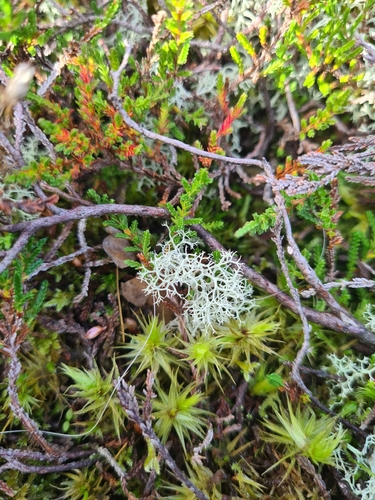
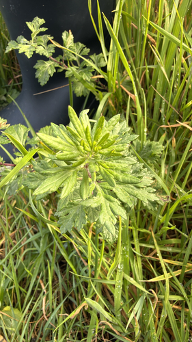

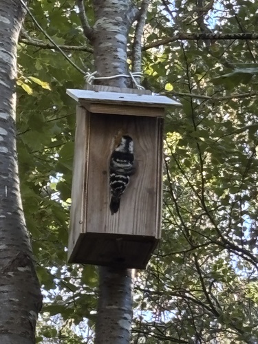
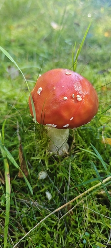
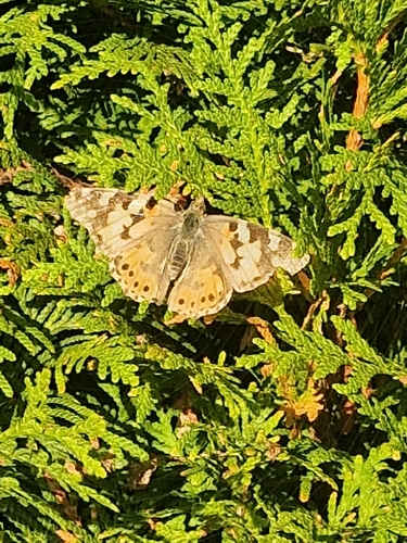
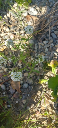
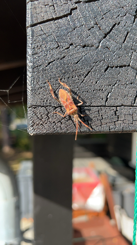
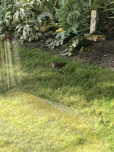
Research-grade observations from iNaturalist (within ~15 mi).
Events
Gallery
Sources
- • Wikipedia
- • Wikidata
- • iNaturalist
- • Open-Meteo / sunrise-sunset.org
- • Wikipedia Pageviews API