Browse / Denmark / Central Denmark / Mårslet
Mårslet
Central Denmarkvillage

Mårslet
Total population
4,772
Demographic figures from Statistics Denmark. Overview below cites Wikipedia and may reference a different year.
City facts
Overview
Mårslet is a town in Aarhus Municipality, located approximately 11 km (6.8 mi) south of the city of Aarhus in the Central Denmark Region. As of 1 January 2026, it has a population of 5,176. Originally a rural village, Mårslet has developed into a commuter suburb of Aarhus, supported by a light rail connection and significant residential expansion in recent decades.
Read more on WikipediaHistory & geography
History
Mårslet was first recorded in 1360 under the name Mordslet, a compound possibly derived from the Old Danish word marth (meaning either "marten" or "forest") and slet ("clearing"). The name thus likely refers to a woodland clearing. Historically, the settlement developed as an irregular roadside village (vejforteby) in a small valley through which the Giber Å stream flows. Early farmsteads were located southeast of the church and along Lindegårdsvej to the southwest, and elements of the original street layout remain visible today. The parish church, located on a hill north of the stream, dates from the Romanesque period and contains a well-preserved set of wall paintings from around 1200. Significant development began in 1884 with the construction of the Hads-Ning Herreders Railway (later the Odder Line), which included a station in Mårslet. The improved connectivity spurred residential expansion, particularly around 1900, when red-brick houses with decorative masonry were built along Tandervej and nearby streets. Mårslet functioned as an independent parish municipality until the 1970 Danish Municipal Reform, when it was merged into Aarhus Municipality. From the 1960s onward, the town experienced substantial suburban growth, with the development of large single-family housing estates. In 2018, the Odder Line was incorporated into the Aarhus Letbane light rail system, improving public transport links to central Aarhus.
Excerpted from the corresponding Wikipedia article (CC BY-SA).
Geography
Coordinates & boundaries from the US Census TIGER/Line shapefiles.
Climate
Air quality
Walkability
Amenities nearby
Wildlife & biodiversity
Most-observed species
- Eurasian BlackbirdTurdus merula Linnaeus, 1758 · Aves18,691
- Common Wood-PigeonColumba palumbus Linnaeus, 1758 · Aves17,816
- Hooded CrowCorvus cornix Linnaeus, 1758 · Aves15,756
- Great TitParus major Linnaeus, 1758 · Aves15,120
- Common BuzzardButeo buteo (Linnaeus, 1758) · Aves13,904
- Eurasian Blue TitCyanistes caeruleus (Linnaeus, 1758) · Aves13,866
- Eurasian WrenTroglodytes troglodytes (Linnaeus, 1758) · Aves13,390
- Gray/Purple HeronArdea cinerea Linnaeus, 1758 · Aves12,988
Citizen-science & research observations from the Global Biodiversity Information Facility (GBIF).
Earthquake history
Most recent
- M 2.6 — 2005-03-1613 km NNW of Kalundborg, Denmark
- M 2.8 — 2005-03-0329 km E of Ebeltoft, Denmark
- M 3 — 2005-02-0329 km NNW of Nykøbing Sjælland, Denmark
- M 3 — 2005-02-0332 km E of Ebeltoft, Denmark
- M 2.7 — 2005-02-0132 km SE of Grenaa, Denmark
- M 2.8 — 2004-11-2413 km SSE of Ebeltoft, Denmark
Events from the USGS Earthquake Catalog (global) (FDSN Event Web Service).
Photos
Sights & places nearby
Notable people from here


People born within ~10 km, from Wikidata (CC0). Click any name for their Wikipedia article.
Nearby places in Central Denmark
Geography & sun
Nearby airports
Public attention
Books about this place
Recent natural events nearby
Ground air-quality sensors
Recently spotted species
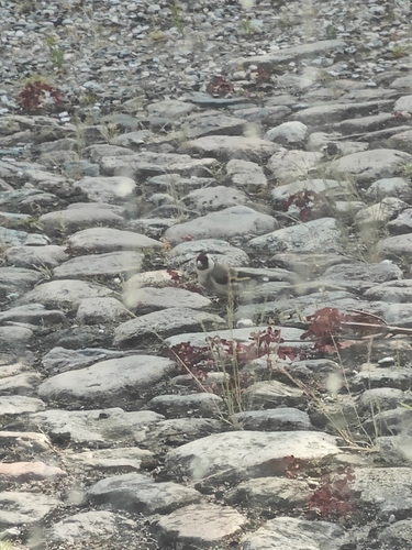
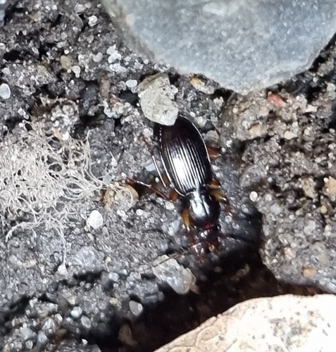
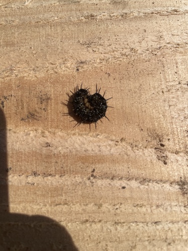
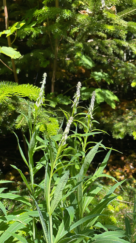
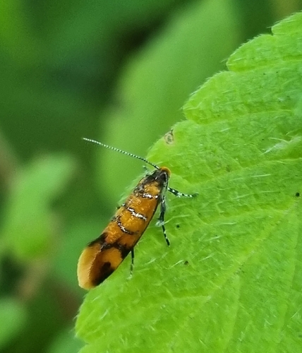
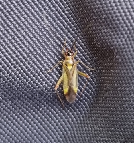
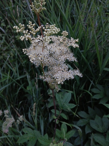
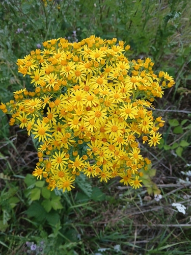
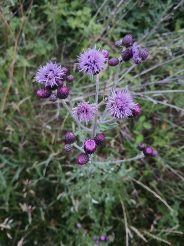
Research-grade observations from iNaturalist (within ~15 mi).
Events
Gallery
Geotagged photos within ~6 miles of Mårslet, from Wikimedia Commons contributors.
 0.1 mi
 0.1 mi
 0.1 mi
 0.7 mi
 1.1 mi
 1.2 mi
 1.4 mi
 1.4 mi
 1.4 mi
 1.5 mi
 1.5 mi
 1.5 mi
 1.5 mi
 1.5 mi
 1.5 mi
 1.5 mi
 1.5 mi
 1.5 mi
 1.5 mi
 1.6 mi
 1.6 mi
 1.6 mi
 1.6 mi
 1.6 mi
Photos via Wikimedia Commons — see each image page for license & attribution.
Sources
- • Wikipedia
- • Wikimedia Commons
- • Wikidata
- • USGS Earthquake Catalog (global feed)
- • GBIF (Global Biodiversity Information Facility)
- • iNaturalist