Browse / Denmark / Zealand / Nysted
Nysted
Zealandvillage

Nysted
Total population
1,345
Demographic figures from Statistics Denmark. Overview below cites Wikipedia and may reference a different year.
City facts
Sister cities
Facts from Wikidata (CC0).
Overview
Nysted is a town in Guldborgsund Municipality in Region Zealand on the southeastern coast of the island of Lolland in south Denmark. Nysted is located on the southern coast of Lolland, and has a population of 1,237.
Read more on WikipediaHistory & geography
History
The town and harbour originated during the Middle Ages near Aalholm Castle and a Franciscan cloister. The town was a natural crossroads for commerce and traffic on account of its having the only natural harbour on the south coast of Lolland. During this time Lolland, and especially its southern coast, was vulnerable to attack by Wends, its neighbors on the opposite side of the Baltic Sea. Proximity to the castle was a great advantage to the people who lived there, but protection also meant that they belonged to the castle. On 7 December 1409 they were liberated when Eric of Pomerania gave Nysted merchant town status. This was re-established by King Christian II in 1513. Like other merchant towns the citizens of Nysted joined in on Christian II's side in the Count's Feud, which resulted in the capture of Aalholm Castle in 1534 when Jørgen von der Wisch was absent. The castle then was overtaken by Count Christoffer, who held it for two years. The town's coastal advantage as a natural harbour disappeared with the advent of the railroad.
Excerpted from the corresponding Wikipedia article (CC BY-SA).
Geography
Coordinates & boundaries from the US Census TIGER/Line shapefiles.
Climate
Air quality
Walkability
Amenities nearby
Wildlife & biodiversity
Earthquake history
Photos
Sights & places nearby
Notable people from here


People born within ~10 km, from Wikidata (CC0). Click any name for their Wikipedia article.
Nearby places in Zealand
- Kettinge2.3 mi away · pop. 559
- Frejlev3 mi away · pop. 188
- Store Musse4.7 mi away
- Øster Ulslev4.8 mi away · pop. 293
- Toreby6.6 mi away · pop. 624
- Skelby7.1 mi away · pop. 116
- Nagelsti7.3 mi away · pop. 492
- Grænge7.6 mi away · pop. 389
- Øster Toreby7.8 mi away
- Væggerløse8.4 mi away · pop. 1,362
- Sundby8.5 mi away · pop. 2,817
- Nykøbing Strandhuse8.7 mi away · pop. 279
Geography & sun
Elevation, sunrise/sunset and daylight from Open-Meteo. Solar climatology from NASA POWER.
Nearby airports
Public attention
Pageview totals from the Wikimedia Pageviews API.
Books about this place
Recent natural events nearby
Ground air-quality sensors
Recently spotted species
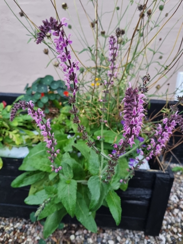
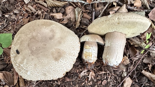
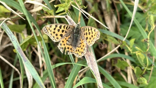
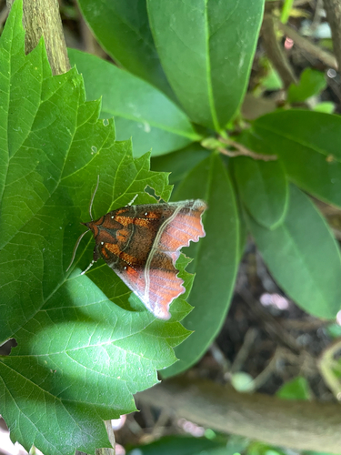
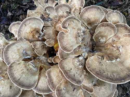
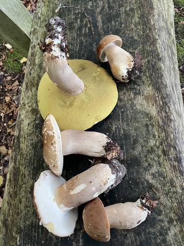

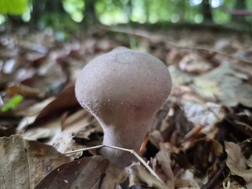
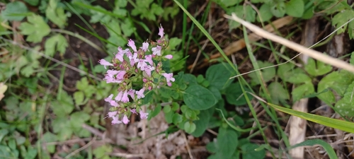
Research-grade observations from iNaturalist (within ~15 mi).
Events
Gallery
Official Identifiers
DST — Statistics Denmark
- Kommunekode
- 371
- Wikidata
- Q1819105
Municipality code via Wikidata P1168
Sources
- • Wikipedia
- • Wikidata
- • iNaturalist
- • Open-Meteo / sunrise-sunset.org
- • Wikipedia Pageviews API
- • DST — Statistics Denmark — Municipality code via Wikidata P1168