Browse / Denmark / Zealand / Orehoved
Orehoved
Zealandvillage

Orehoved
Total population
468
Demographic figures from Statistics Denmark. Overview below cites Wikipedia and may reference a different year.
City facts
Overview
Orehoved is a small harbour town in the north of the Danish island of Falster. It grew up mainly as a result of the railway and ferry services in the late 19th century. As of 2026, it has a population of 416.
Read more on WikipediaHistory & geography
History
Orehoved was probably established around the 14th century at a clearing in the forest. There is nothing left of the old village which in 1509 consisted of just four copyholds. There was little success with farming, prompting a comment in the accounts of 1662 stating that there were only two fields with very poor soil. In 1766, the village became the property of Hvededal Farm but returned to the State in 1793. The farmers became independent landowners in the 1850s but the State kept the forests which were sold to Johannes Wilhjelm in 1869. Wilhjelm built a new manor called Orenæsgård in 1869 but it was torn down in 1982. In 1904, Rasmus Sigvardt opened a bicycle repair shop in Orehoved, soon extending it to handle motorcycles. In 1909, he opened new premises with facilities for repairing cars, motorcycles and motorboat engines. Over the years, the business developed into a factory first for manufacturing engines for boats and the extending into motors and engines for other applications, especially spraying equipment. In 1970, the factory was purchased by Hardi International and has now been moved to Nørre Alslev. In 1945, Orehoved Træ- og Finerindustri, a wood and veneer factory, opened in the harbour area, soon gaining an international reputation. Since the factory's closure in 1984, other businesses have taken over the premises. Major extensions to the harbour were made in 1960 with later additions towards the west.
Excerpted from the corresponding Wikipedia article (CC BY-SA).
Geography
Coordinates & boundaries from the US Census TIGER/Line shapefiles.
Climate
Air quality
Walkability
Amenities nearby
Wildlife & biodiversity
Earthquake history
Photos
Sights & places nearby
Notable people from here
Nearby places in Zealand
- Nørre Vedby1.9 mi away · pop. 178
- Vålse3.4 mi away · pop. 220
- Masnedsund3.8 mi away
- Nørre Alslev3.9 mi away · pop. 2,375
- Øster Kippinge4.4 mi away · pop. 260
- Vordingborg4.6 mi away · pop. 12,038
- Neder Vindinge5.7 mi away · pop. 1,900
- Nyråd5.7 mi away · pop. 2,442
- Kastrup5.8 mi away
- Eskilstrup6.7 mi away · pop. 1,109
- Ønslev7 mi away · pop. 402
- Guldborg7.1 mi away · pop. 567
Geography & sun
Elevation, sunrise/sunset and daylight from Open-Meteo. Solar climatology from NASA POWER.
Nearby airports
Public attention
Pageview totals from the Wikimedia Pageviews API.
Books about this place
Recent natural events nearby
Ground air-quality sensors
Recently spotted species

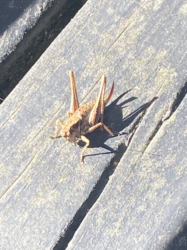
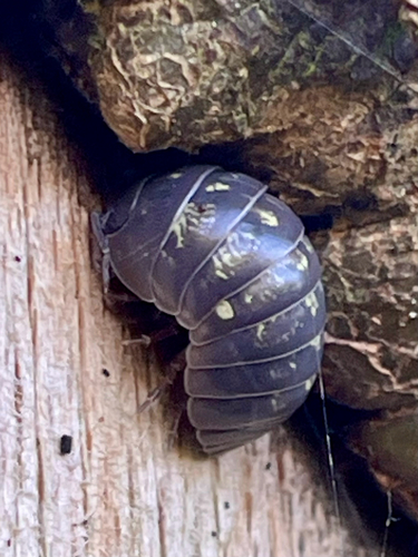
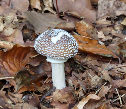
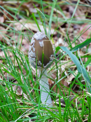
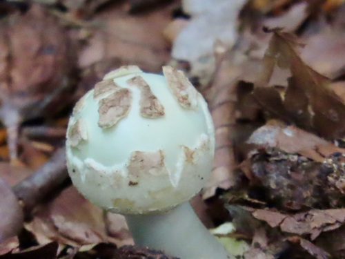

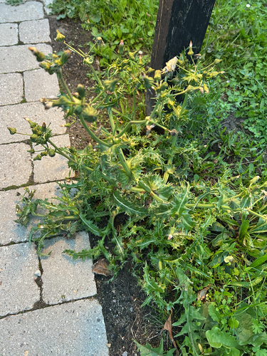
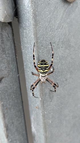
Research-grade observations from iNaturalist (within ~15 mi).
Events
Gallery
Sources
- • Wikipedia
- • iNaturalist
- • Open-Meteo / sunrise-sunset.org
- • Wikipedia Pageviews API