Browse / Denmark / Capital Region / Rågeleje
Rågeleje
Capital Regionvillage

Rågeleje
Total population
809
Demographic figures from Statistics Denmark. Overview below cites Wikipedia and may reference a different year.
City facts
Facts from Wikidata (CC0).
Overview
Rågeleje is a former fishing village and popular tourist resort on the north coast of Zealand, midway between Gilleleje and Tisvildeleje, some 50 km north of Copenhagen, Denmark. As of 2026, it had a population of 681.
Read more on WikipediaHistory & geography
History
The name Rågeleje was first mentioned in 1582 in the form Raageleie, meaning the harbour of Råge (1211 Roka), a no longer existing settlement. Rågeleje remained a quiet fishing community where the families supplemented their income with a bit of sheep herding until the late 19th century. The fishing village was located at the mouth of the Højbro Stream. The fisherman on the west side of the stream was traditionally known as the Vejby fishermen while the ones on the east side were known as the Hesselbjerg fishermen. Rågeleje had 55 residents in 1890 of which 13 were fishermen. The number of residents had by 1911 declined to 34 of which 10 were fishermen. The first tourists began to arrive at the turn of the 20th century. In the early 1910s, Anders Nielsen, the owner of Damgården, sold most of his land off in lots to wealthy people from the city. Anders Nielsen's Son, Niels Nielsen, made a business out of picking the new residents and their belongings up in Helsinge at the beginning of the summer season and to drive them back at the end of the season. Anders Nielsens was Vej was after Anders Nielsen's death named after him and the new landowners in 1921 erected a memorial stone at the end of the road to commemorate him. A beach hotel soon opened. The slope towards the beach was protected by the conservation authorities on the initiative of the lot owners in 1940. In the late 1940s and 1950s, Rågeleje's inn was a popular hangout for jazz musicians, artists and actors. The inn was later destroyed in a fire.
Excerpted from the corresponding Wikipedia article (CC BY-SA).
Geography
Coordinates & boundaries from the US Census TIGER/Line shapefiles.
Climate
Air quality
Walkability
Amenities nearby
Wildlife & biodiversity
Earthquake history
Photos
Sights & places nearby
Notable people from here


People born within ~10 km, from Wikidata (CC0). Click any name for their Wikipedia article.
Nearby places in Capital Region
- Udsholt1.5 mi away
- Vejby Strand1.7 mi away
- Blistrup1.9 mi away · pop. 1,172
- Vejby2.5 mi away · pop. 1,060
- Holløselund2.8 mi away · pop. 393
- Smidstrup3.1 mi away · pop. 1,380
- Ørby3.4 mi away · pop. 302
- Tisvilde3.9 mi away · pop. 1,533
- Holløse4.3 mi away · pop. 359
- Græsted5.2 mi away · pop. 3,547
- Helsinge5.5 mi away · pop. 8,229
- Gilleleje5.9 mi away · pop. 6,573
Geography & sun
Elevation, sunrise/sunset and daylight from Open-Meteo. Solar climatology from NASA POWER.
Nearby airports
Public attention
Pageview totals from the Wikimedia Pageviews API.
Books about this place
Recent natural events nearby
Ground air-quality sensors
Recently spotted species
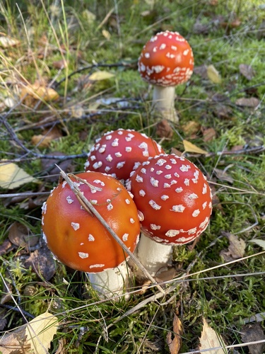
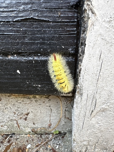
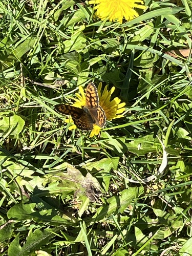
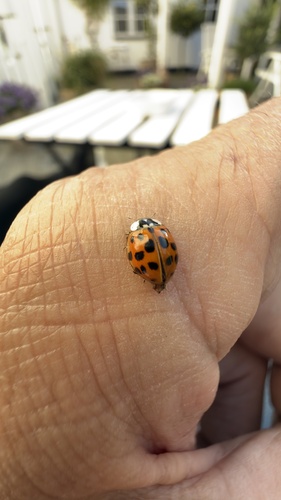
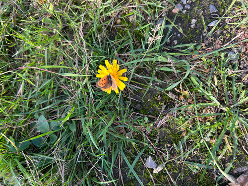
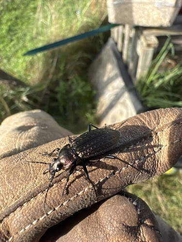
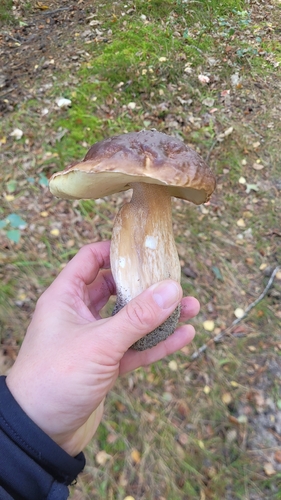
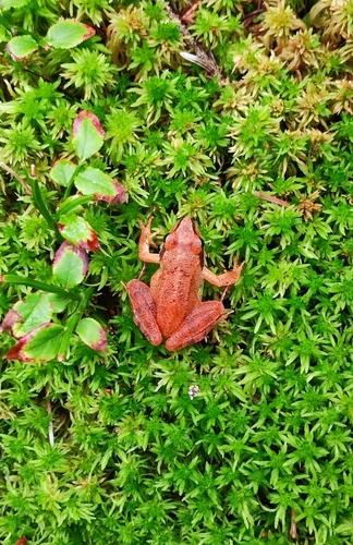
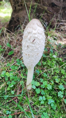
Research-grade observations from iNaturalist (within ~15 mi).
Events
Gallery
Sources
- • Wikipedia
- • Wikidata
- • iNaturalist
- • Open-Meteo / sunrise-sunset.org
- • Wikipedia Pageviews API