Browse / Denmark / Central Denmark / Randers
Randers
Central Denmarkcity

Randers
Total population
62,687
Founded
1100
Demographic figures from Statistics Denmark. Overview below cites Wikipedia and may reference a different year.
City facts
Sister cities
Facts from Wikidata (CC0).
Overview
Randers is a city in northeast of the Jutland peninsula. It is Denmark's 7th largest city, with a population of 64,764. Randers is the main town and administration center of the Randers Municipality. By road it is 38.5 kilometres (23.9 mi) north of Aarhus, 43.8 kilometres (27.2 mi) east of Viborg, and 224 kilometres (139 mi) northwest of Copenhagen.
Read more on WikipediaHistory & geography
History
Randers was formally established around the 12th century, but traces of activity date back to Viking times. Canute IV of Denmark (ca. 1043–1086), also known as Canute the Saint and Canute the Holy, and as patron saint of Denmark, minted coins in the town. He had plans to attack England and its ruler, William the Conqueror, He assembled people in this town. A chronicle written at Essenbæk Abbey tells of a fire that ravaged the city. The city was destroyed and rebuilt three times in the 13th century. In 1246, it was burned down by Abel of Denmark's troops during the civil uprising against Eric IV of Denmark. On a street in the town center is the house where, according to legend, Danish nobleman and national hero Niels Ebbesen killed Count Richard (Gerhard) III of Holstein on 1 April 1340, during the Kingless Times, when the entire country was pledged to German counts. This action led to further insurrection against the Germans. Ebbesen died in a large battle at Skanderborg Castle in December 1340. A statue to Ebbesen stands in front of Randers's Town Hall today. When King Valdemar IV of Denmark (Valdemar Atterdag) tried to assemble a government in 1350 after the mortgaging to the Holsteiners, the town was further reinforced with protection, and was often named as Randershus ("Randers Fortress"). This fortification was captured by dissatisfied nobility in 1357. In 1359 Valdemar attacked the captured city with the strength of all of his forces. During medieval times the city prospered as a market town. Randers was granted privileges as a market town in 1302, creating a significant amount of trade. It prospered in the 15th and 16th centuries trading both nationally and overseas thanks to its harbour and cargo shipping maintained by competent craftsmen. Salmon fishing also…
Geography
Randers, and Randers municipality, lies within the geographical region of Kronjylland (Crown Jutland), a name that possibly refers to the many royal possessions in this area, in particular in former times. By road it is north of Aarhus, east of Viborg, south of Aalborg and northwest of Copenhagen. The city is Denmark's only natural river harbour, situated on the banks of the Guden River (Gudenå), about above the rivers mouth in Randers Fjord. There are several wooded areas in Randers, including Skovbakken, to the northeast of the centre, the smaller Tøjhushaven to the immediate southeast of this, north of the harbour area, and Ladegårdsbækken, a narrow stretch of woodland to the east of the hospital. Dronningborg Skov, in the hamlet of Dronningborg, is located in the northeastern suburbs of the city, and Henriettelund lies in the southwestern suburb of Vorup.
Excerpted from the corresponding Wikipedia article (CC BY-SA).
Geography
Coordinates & boundaries from the US Census TIGER/Line shapefiles.
Climate
Air quality
Walkability
Amenities nearby
Wildlife & biodiversity
Most-observed species
- Red KiteMilvus milvus (Linnaeus, 1758) · Aves5,000
- Common BuzzardButeo buteo (Linnaeus, 1758) · Aves4,418
- Eurasian BlackbirdTurdus merula Linnaeus, 1758 · Aves4,383
- Mute SwanCygnus olor (J.F.Gmelin, 1789) · Aves4,316
- Graylag GooseAnser anser (Linnaeus, 1758) · Aves3,814
- Common Wood-PigeonColumba palumbus Linnaeus, 1758 · Aves3,771
- Great TitParus major Linnaeus, 1758 · Aves3,410
- Eurasian WrenTroglodytes troglodytes (Linnaeus, 1758) · Aves3,335
Citizen-science & research observations from the Global Biodiversity Information Facility (GBIF).
Earthquake history
Most recent
- M 2.6 — 2005-03-1613 km NNW of Kalundborg, Denmark
- M 2.8 — 2005-03-0329 km E of Ebeltoft, Denmark
- M 3 — 2005-02-0329 km NNW of Nykøbing Sjælland, Denmark
- M 3 — 2005-02-0332 km E of Ebeltoft, Denmark
- M 2.7 — 2005-02-0132 km SE of Grenaa, Denmark
- M 3.1 — 2004-11-2459 km E of Hals, Denmark
Events from the USGS Earthquake Catalog (global) (FDSN Event Web Service).
Photos
Sights & places nearby
Notable people from here


People born within ~10 km, from Wikidata (CC0). Click any name for their Wikipedia article.
Nearby places in Central Denmark
Geography & sun
Elevation, sunrise/sunset and daylight from Open-Meteo. Solar climatology from NASA POWER.
Nearby airports
Public attention
Pageview totals from the Wikimedia Pageviews API.
Books about Randers
Search results from Open Library.
Recent natural events nearby
Ground air-quality sensors
Recently spotted species
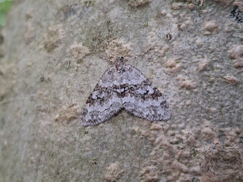
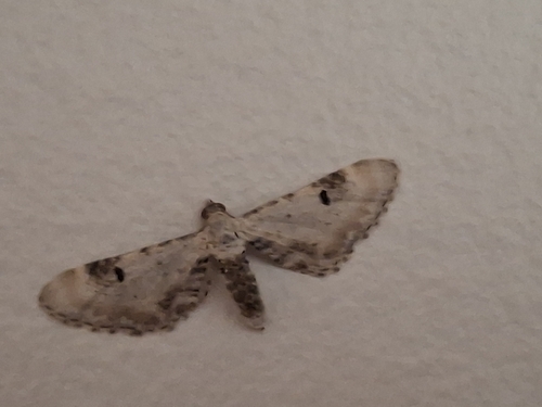
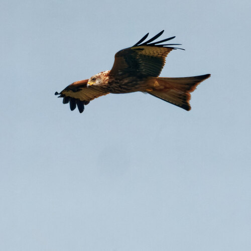
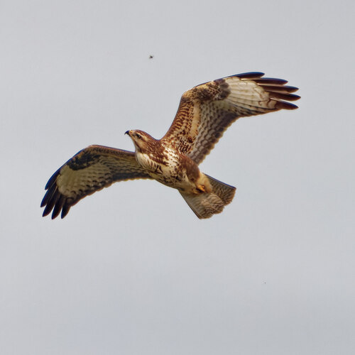
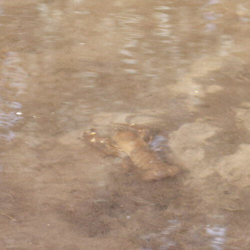
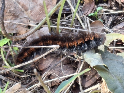
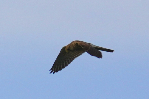
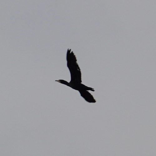
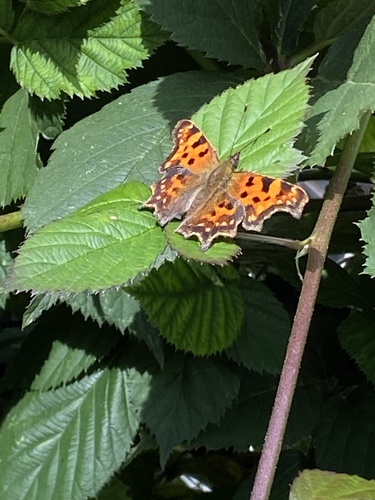
Research-grade observations from iNaturalist (within ~15 mi).
Events
Notable, recurring, and historical events associated with Randers, sourced from Wikidata.
- Q12332844festival
Source: Wikidata (CC0).
Gallery
Official Identifiers
DST — Statistics Denmark
- Kommunekode
- 730
- Population (Wikidata)
- 97,520
- Wikidata
- Q512457
Municipality code via Wikidata P1168
Sources
- • Wikipedia
- • Wikidata
- • USGS Earthquake Catalog (global feed)
- • GBIF (Global Biodiversity Information Facility)
- • iNaturalist
- • Open-Meteo / sunrise-sunset.org
- • Wikipedia Pageviews API
- • Open Library
- • DST — Statistics Denmark — Municipality code via Wikidata P1168