Browse / Denmark / North Denmark / Ranum
Ranum
North Denmarkvillage

Ranum
Total population
1,100
Demographic figures from Statistics Denmark. Overview below cites Wikipedia and may reference a different year.
City facts
Overview
Ranum is a town in the former municipality of Løgstør and Vesthimmerland Municipality in Denmark. It is the fifth largest town in Vesthimmerland Municipality and is situated approximately 3 km from the inlet Limfjorden and 1 hour from the two major cities Aalborg and Viborg. Ranum has a population of 929.
Read more on WikipediaHistory & geography
History
Ranum was established around the year 1100 and has been an attractive village throughout the last millennium. Ranum is famous for its educational heritage. The first teaching college (lærer seminarium) was established in 1848. The college was closed in 1994 and was a part of VIA University College until 2011. The historic premises is today a part of Ranum Efterskole. Ranum Efterskole is one of the largest efterskoles in Denmark, boarding and teaching more than 400 students every year. Ranum International Summer School is a summer camp of this school which attracts students all over the world. Vildsted Lake, one of Denmark's biggest nature rehabilitation projects, is located next to Ranum. Vildsted Lake and meadows covers in total 913 hectares and was established (re-created) in 2002–2006. Vildsted Lake is a unique nature resort and resting place for migrating birds. Over 200 bird species have been observed over the past ten years in the lake's southern part. In late summer, you can witness the "Black Sun" phenomenon, when large flocks of starlings roost in the reed beds.
Excerpted from the corresponding Wikipedia article (CC BY-SA).
Geography
Coordinates & boundaries from the US Census TIGER/Line shapefiles.
Climate
Air quality
Walkability
Amenities nearby
Wildlife & biodiversity
Earthquake history
Photos
Sights & places nearby
Notable people from here


People born within ~10 km, from Wikidata (CC0). Click any name for their Wikipedia article.
Geography & sun
Elevation, sunrise/sunset and daylight from Open-Meteo. Solar climatology from NASA POWER.
Nearby airports
Public attention
Pageview totals from the Wikimedia Pageviews API.
Books about this place
Recent natural events nearby
Ground air-quality sensors
Recently spotted species
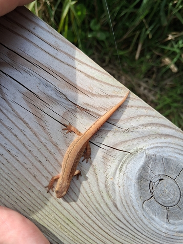
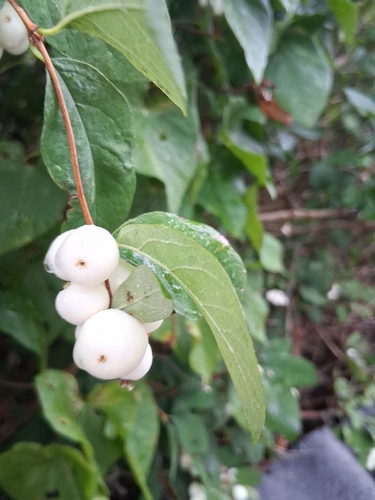
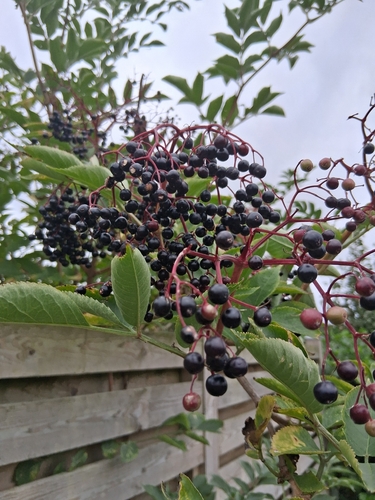
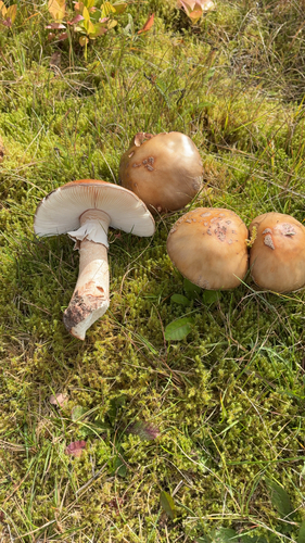
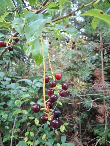
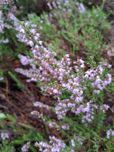
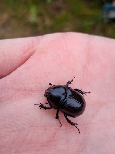
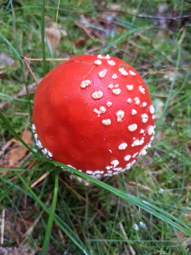
Research-grade observations from iNaturalist (within ~15 mi).
Events
Gallery
Sources
- • Wikipedia
- • Wikidata
- • iNaturalist
- • Open-Meteo / sunrise-sunset.org
- • Wikipedia Pageviews API