Browse / Denmark / Southern Denmark / Rudkøbing
Rudkøbing
Southern Denmarktown

Rudkøbing
Total population
4,647
Demographic figures from Statistics Denmark. Overview below cites Wikipedia and may reference a different year.
City facts
Sister cities
Facts from Wikidata (CC0).
Overview
Rudkøbing is a town in Denmark, on the western coast of the island of Langeland. It is the seat of Langeland Municipality, in the Southern Denmark Region. The town is located 15 kilometres (9.3 mi) southeast of Svendborg and is connected to Siø through the Siøsund Bridge.
Read more on WikipediaHistory & geography
History
The first mention of Rudkøbing was in 1287, when it was given market town privileges by Duke Valdemar IV of Schleswig, who held the title of rigsforstander (da) under King Eric VI Menved. The original Rudkøbing Church was most likely built in the late 12th century or early 13th century. During the Count's Feud (1534–1536) and again during the Dano-Swedish War (1658–1660), Rudkøbing was under siege by Swedish troops. Both times, the town's fortifications prevented Rudkøbing from immediately falling, but the town eventually had to give in to the Swedes. The town was hit by the Black Plague during the 16th and 17th centuries, and experienced fires in 1590 and 1610. The Ørsted family, which most notably includes the brothers Hans Christian and Anders Sandøe Ørsted, has its origins in Rudkøbing. Their father was a pharmacist, and the brothers were born in the old pharmacy on Gåsetorvet. Across from their birth house is a statue of Hans Christian, and a statue of Anders is located at nearby Ørstedsparken, which is named in their honor. The old pharmacy remained in use until 2017. Rudkøbing got its first proper harbor in 1826 (it had previously only had a pier). In 1898, in a town of about 3,500 people, there were 152 ships based in Rudkøbing. Every year, over 2,500 ships (carrying over 18,000 metric tons of cargo) came in and over 2,800 ships (carrying over 11,500 metric tons of cargo) went out, mostly to and from elsewhere in Denmark. The town was connected by steam ferry routes to Copenhagen, Korsør, Marstal, and Svendborg. The town's population was stable during the interwar period, hovering above 4,000, with the census in 1930 recording a population of 4,129. The population peaked at 4,541 in 1950, and by 1965, it had fallen to 4,204. Around this time a suburb…
Excerpted from the corresponding Wikipedia article (CC BY-SA).
Geography
Coordinates & boundaries from the US Census TIGER/Line shapefiles.
Climate
Air quality
Walkability
Amenities nearby
Wildlife & biodiversity
Earthquake history
Photos
Sights & places nearby
Notable people from here


People born within ~10 km, from Wikidata (CC0). Click any name for their Wikipedia article.
Nearby places in Southern Denmark
- Tullebølle3.5 mi away
- Spodsbjerg4.4 mi away · pop. 198
- Bjerreby4.8 mi away · pop. 351
- Lindelse5.2 mi away · pop. 316
- Lundby5.7 mi away · pop. 275
- Landet6.4 mi away · pop. 290
- Tranekær6.6 mi away · pop. 99
- Strammelse7.1 mi away · pop. 185
- Gammel Nyby7.2 mi away · pop. 52
- Bregninge7.2 mi away · pop. 196
- Troense7.3 mi away · pop. 1,433
- Humble7.6 mi away
Geography & sun
Elevation, sunrise/sunset and daylight from Open-Meteo. Solar climatology from NASA POWER.
Nearby airports
Public attention
Pageview totals from the Wikimedia Pageviews API.
Books about this place
Recent natural events nearby
Ground air-quality sensors
Recently spotted species

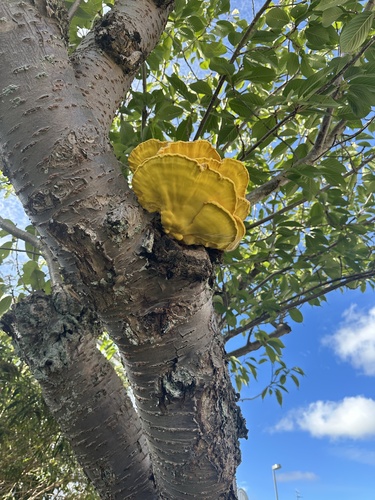
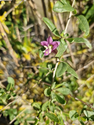

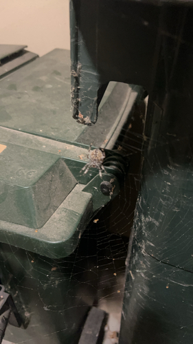
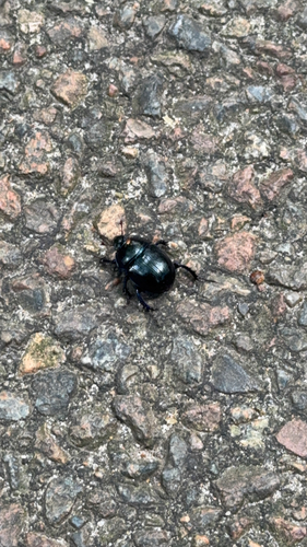

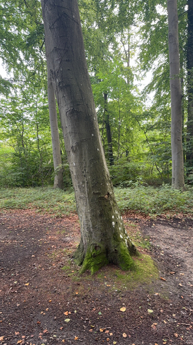
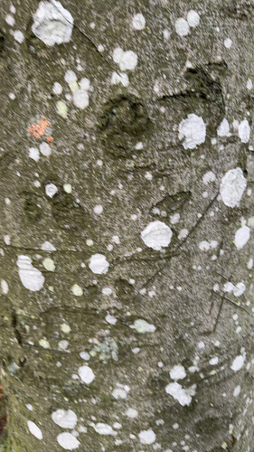
Research-grade observations from iNaturalist (within ~15 mi).
Events
Gallery
Official Identifiers
DST — Statistics Denmark
- Kommunekode
- 475
- Wikidata
- Q2068132
Municipality code via Wikidata P1168
Sources
- • Wikipedia
- • Wikidata
- • iNaturalist
- • Open-Meteo / sunrise-sunset.org
- • Wikipedia Pageviews API
- • DST — Statistics Denmark — Municipality code via Wikidata P1168