Browse / Denmark / Central Denmark / Ryomgård
Ryomgård
Central Denmarkvillage

Ryomgård
Total population
2,417
Demographic figures from Statistics Denmark. Overview below cites Wikipedia and may reference a different year.
City facts
Facts from Wikidata (CC0).
Overview
Ryomgård is a Danish country town with a population of 2,779 located 29 kilometers north east of the country’s second largest city Aarhus. As such Ryomgård is in part a pendler town to Aarhus.
Read more on WikipediaHistory & geography
History
Before roads were common in Denmark prior to 1700 the place where Ryomgård lies was one of the few passageways over the swamp and lake divide that separated the northern part of Djursland from the southern part. There was a toll station for passage, close to the manor house, Gammel Ryomgård, that dates back to the 17th century. Ryomgård came to life as a town in the late 1870s when a railway was established from Randers on mainland Jutland across the Djursland peninsula to the fishing- and seaport Grenå on the east coast of Djursland. Ryomgård lay midway between Randers and Grenå by the railway. The development of Ryomgård was further consolidated when another rail line was built between Ryomgård and Århus, Denmark's second largest city 30 kilometers south east of Ryomgård. This was also in the 1870s. In 1911 another railway line from Ryomgård to Gjerrild in the north of Djursland was added, making Ryomgård a railway hub on Djursland. Establishing a lower secondary school, Ryomgård Realskole, near the railway in 1913 contributed further to the growth of the town.
Geography
The climate in the region is temperate coastal, with an average summer temperature in July of 20 degrees Celsius in the day, and 12 degrees at night, and an average winter temperature in January with 5 degrees in the day and 1 degree at night (1961 – 1990) The average precipitation is 722 millimeters per year, making Ryomgård as well as the rest of Denmark well suited for farming. Barley, wheat, canola, and in recent years corn, are common crops in the farmland surrounding Ryomgård. The name "Ryomgård" comes from the Danish word Ryom, which is one of several old words for clearing in a wood. Also today the town is close to a central forested area on Djursland, the Fjeld and Løvenholm woods. Ryomgårds main street, Vestergade, is 17 meters above sea level. The town was founded above the north bank of a former sound that in the stone ages cut of north Djursland from the mainland making the northern part of Djursland an island. Newer parts of the town have been built on south facing hills up from to the former sound reaching an elevation above sea level of about 40 meters. At the top of the hills, where the land gets more flat, evened out by of ice sheets during the last ice age, 12.000 years ago, the most recent new housing is seen.
Excerpted from the corresponding Wikipedia article (CC BY-SA).
Geography
Coordinates & boundaries from the US Census TIGER/Line shapefiles.
Climate
Air quality
Walkability
Amenities nearby
Wildlife & biodiversity
Most-observed species
- Red KiteMilvus milvus (Linnaeus, 1758) · Aves7,891
- Eurasian BlackbirdTurdus merula Linnaeus, 1758 · Aves7,740
- Common Wood-PigeonColumba palumbus Linnaeus, 1758 · Aves6,937
- Great TitParus major Linnaeus, 1758 · Aves6,690
- Common ChaffinchFringilla coelebs Linnaeus, 1758 · Aves6,470
- Common BuzzardButeo buteo (Linnaeus, 1758) · Aves6,296
- Hooded CrowCorvus cornix Linnaeus, 1758 · Aves6,104
- Eurasian Blue TitCyanistes caeruleus (Linnaeus, 1758) · Aves5,372
Citizen-science & research observations from the Global Biodiversity Information Facility (GBIF).
Earthquake history
Most recent
- M 4.2 — 2012-08-0639 km WSW of Steninge, Sweden
- M 2.6 — 2005-03-1613 km NNW of Kalundborg, Denmark
- M 2.8 — 2005-03-0329 km E of Ebeltoft, Denmark
- M 3 — 2005-02-0329 km NNW of Nykøbing Sjælland, Denmark
- M 3 — 2005-02-0332 km E of Ebeltoft, Denmark
- M 2.7 — 2005-02-0132 km SE of Grenaa, Denmark
Events from the USGS Earthquake Catalog (global) (FDSN Event Web Service).
Photos
Sights & places nearby
Notable people from here


People born within ~10 km, from Wikidata (CC0). Click any name for their Wikipedia article.
Nearby places in Central Denmark
Geography & sun
Elevation, sunrise/sunset and daylight from Open-Meteo. Solar climatology from NASA POWER.
Nearby airports
Public attention
Pageview totals from the Wikimedia Pageviews API.
Books about this place
Recent natural events nearby
Ground air-quality sensors
Recently spotted species

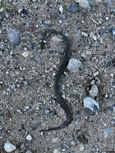
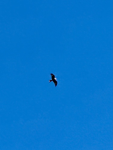

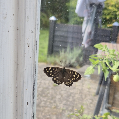
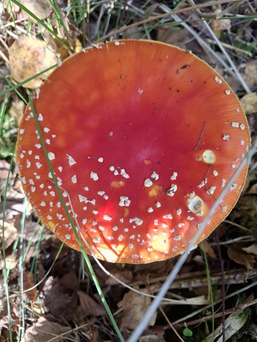
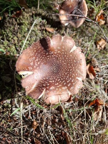
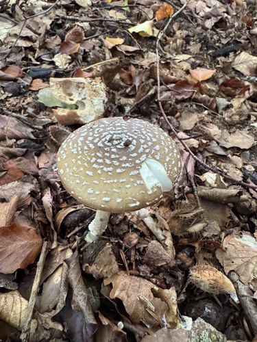
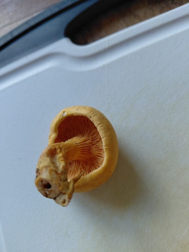
Research-grade observations from iNaturalist (within ~15 mi).
Events
Gallery
Sources
- • Wikipedia
- • Wikidata
- • USGS Earthquake Catalog (global feed)
- • GBIF (Global Biodiversity Information Facility)
- • iNaturalist
- • Open-Meteo / sunrise-sunset.org
- • Wikipedia Pageviews API