Browse / Denmark / Southern Denmark / Sønderborg
Sønderborg
Southern Denmarktown

Sønderborg
Total population
27,785
Demographic figures from Statistics Denmark. Overview below cites Wikipedia and may reference a different year.
City facts
Facts from Wikidata (CC0).
Overview
Sønderborg is a Danish town in the Region of Southern Denmark. It is the main town and the administrative seat of Sønderborg Municipality (Kommune). The town has a population of 28,564, in a municipality of 74,123. In recent times, Sønderborg is a center for trade, tourism, industry, and education in the region of Southern Denmark. The town is the headquarters for several industrial companies. Sønderborg joined the UNESCO Global Network of Learning Cities in 2016.
Read more on WikipediaHistory & geography
History
Prior to the Second Schleswig War of 1864, Sønderborg was situated in the Duchy of Schleswig, a Danish fief, so its history is properly included in the contentious history of Schleswig-Holstein. In the 1920 Schleswig Plebiscite that returned Northern Schleswig to Denmark, 43.8% of the city of Sønderborg's inhabitants voted for the cession to Denmark and 56.2% voted for remaining part of Germany.
Geography
The town of Sønderborg lies on both sides of Alssund; the narrow strait between these two sides is called Als Strait (Alssund). Two road bridges connect the city across the strait: the Als Strait Bridge (Alssundbro), built in 1978–1981; and the King Christian X's Bridge (Kong Christian Xs Bro), built in 1925–1930.
Excerpted from the corresponding Wikipedia article (CC BY-SA).
Geography
Coordinates & boundaries from the US Census TIGER/Line shapefiles.
Climate
Air quality
Walkability
Amenities nearby
Wildlife & biodiversity
Earthquake history
Photos
Sights & places nearby
Notable people from here


People born within ~10 km, from Wikidata (CC0). Click any name for their Wikipedia article.
Nearby places in Southern Denmark
- Kær2 mi away · pop. 318
- Dybbøl2.8 mi away · pop. 2,495
- Høruphav4.2 mi away · pop. 2,514
- Skelde4.3 mi away · pop. 302
- Augustenborg4.4 mi away · pop. 3,255
- Vester Sottrup4.5 mi away · pop. 1,470
- Broager5 mi away · pop. 3,300
- Dyndved6 mi away
- Ullerup6.4 mi away · pop. 416
- Guderup6.5 mi away · pop. 2,558
- Stevning6.7 mi away · pop. 428
- Egernsund7.4 mi away · pop. 1,556
Geography & sun
Elevation, sunrise/sunset and daylight from Open-Meteo. Solar climatology from NASA POWER.
Nearby airports
Public attention
Pageview totals from the Wikimedia Pageviews API.
Books about this place
Recent natural events nearby
Ground air-quality sensors
Recently spotted species
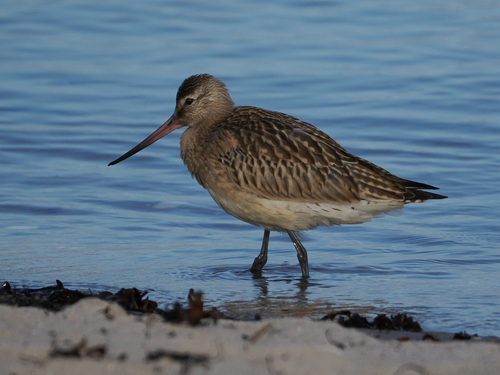
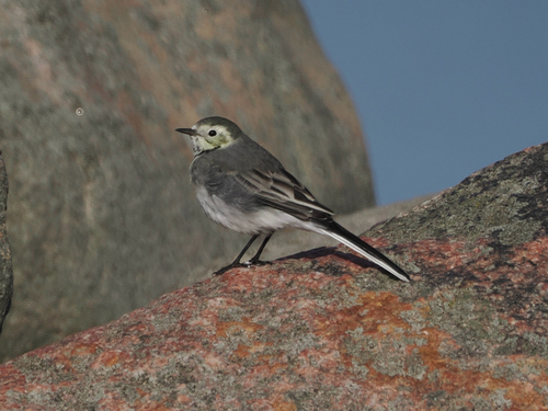
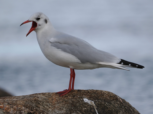



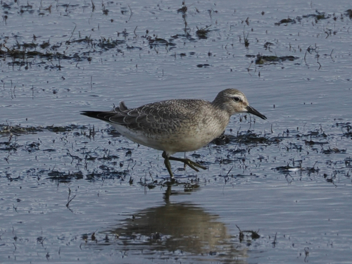


Research-grade observations from iNaturalist (within ~15 mi).
Events
Gallery
Official Identifiers
DST — Statistics Denmark
- Kommunekode
- 540
- Population (Wikidata)
- 74,737
- Wikidata
- Q21108
Municipality code via Wikidata P1168
Sources
- • Wikipedia
- • Wikidata
- • iNaturalist
- • Open-Meteo / sunrise-sunset.org
- • Wikipedia Pageviews API
- • DST — Statistics Denmark — Municipality code via Wikidata P1168