Browse / Denmark / Capital Region / Skævinge
Skævinge
Capital Regionvillage

Skævinge
Total population
2,555
Demographic figures from Statistics Denmark. Overview below cites Wikipedia and may reference a different year.
City facts
Overview
Skævinge is a town with a population of 2,964 and a former municipality in Hillerød municipality in Capital Region of Denmark in the northern part of the island of Sealand (Sjælland) in eastern Denmark. The former Skævinge municipality covered an area of 68 km2 (26 sq mi), and had a total population of 6,046 (2005).
Read more on WikipediaHistory & geography
History
The name is first documented in 1211–1214 as Skeping. The first part of the name may be derived from Old Danish skap , meaning "something excavated'. The suffix -inge is frequently seen in Danish toponyms. Skævinge was a village of considerable size in the Middle Ages but later shrunk and the parishes of Skævinge and Gørløse were therefore merged. The civil parish of Skævinge-Gørlse was formed in the 1840s. The opening of the Hillerød-Frederiksværk Railway in 1897 brought new development to the town and by the 1940s Skævinge was by far the largest village in the area between Hillerød, Frederiksværk and Frederikssund. The 1970 Danish Municipal Reform merged Skævinge-Gørløse with the civil parishes of Strø and Store Lyngby under the new Skævinge Municipality. It was incorporated in Gillerød Municipality in 2007.
Geography
Strø Bjerge, North Zealand's largest esker, is located a few kilometres to the west of Skævinge. The area includes Vibjerg and Lundebakke. Arresø, Denmark's largest lake, is located to the north.
Excerpted from the corresponding Wikipedia article (CC BY-SA).
Geography
Coordinates & boundaries from the US Census TIGER/Line shapefiles.
Climate
Air quality
Walkability
Amenities nearby
Wildlife & biodiversity
Earthquake history
Photos
Sights & places nearby
Notable people from here


People born within ~10 km, from Wikidata (CC0). Click any name for their Wikipedia article.
Nearby places in Capital Region
- Meløse1.8 mi away · pop. 662
- Gørløse2.3 mi away · pop. 1,050
- Store Lyngby2.3 mi away · pop. 832
- Lykkesholm3.3 mi away
- Ølsted3.5 mi away · pop. 1,924
- Ølsted Sydstrand3.9 mi away · pop. 262
- Hørup4 mi away · pop. 76
- Uvelse4.2 mi away · pop. 1,006
- Lystrup4.2 mi away · pop. 119
- Tulstrup4.4 mi away · pop. 1,220
- Slangerup4.4 mi away · pop. 6,864
- Græse Bakkeby4.6 mi away · pop. 2,328
Geography & sun
Elevation, sunrise/sunset and daylight from Open-Meteo. Solar climatology from NASA POWER.
Nearby airports
Public attention
Pageview totals from the Wikimedia Pageviews API.
Books about this place
Recent natural events nearby
Ground air-quality sensors
Recently spotted species
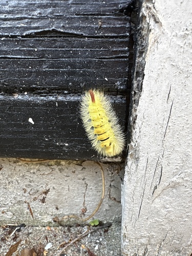
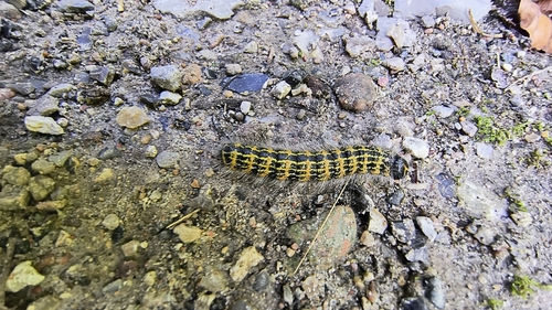
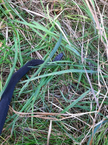

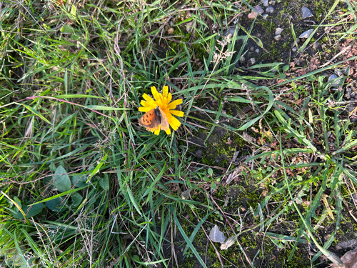

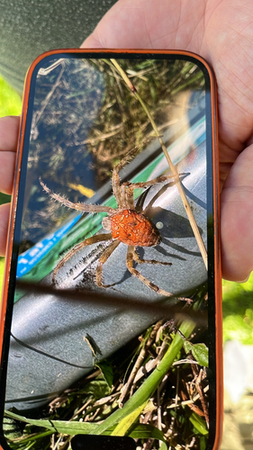
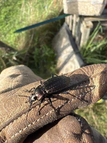
Research-grade observations from iNaturalist (within ~15 mi).
Events
Gallery
Official Identifiers
DST — Statistics Denmark
- Kommunekode
- 231
- Population (Wikidata)
- 5,886
- Wikidata
- Q1364206
Municipality code via Wikidata P1168
Sources
- • Wikipedia
- • Wikidata
- • iNaturalist
- • Open-Meteo / sunrise-sunset.org
- • Wikipedia Pageviews API
- • DST — Statistics Denmark — Municipality code via Wikidata P1168