Browse / Denmark / Capital Region / Snekkersten
Snekkersten
Capital Regionvillage

Snekkersten
Air quality index
Demographic figures from Statistics Denmark. Overview below cites Wikipedia and may reference a different year.
City facts
Overview
Snekkersten is a former fishing village and current neighbourhood in the southern part of Helsingør, Denmark. Snekkersten station is an interchange between the Coast Line between Copenhagen and the Lille Nord railway to Hillerød. The distance from Copenhagen City Hall Square is approximately 45 km. Today, most of the inhabitants are commuters, either working in Helsingør or Copenhagen. The town is connected by a train line, Kystbanen, to Helsingør to the north, and Copenhagen and other communities in the south.
Read more on WikipediaHistory & geography
History
The name Snekkersten is first recorded in 1582. The first part of the name comes from snekkja or snekke, a type of longship. The suffix -sten means "boulder", The name Snekkersten also refers to a specific very large boulder on the beach in the northern part of Snekkersten. The fishing village was destroyed during the Swedish invasion in 1660. In 1681, Snekkersten consisted of a fisherman's house and three small farms. In 1771, Snekkersten consisted of 15 families of which 10 were fishermen, one was seafarers, two combined farming and fishing, one was a shoemaker and one was a day-laborer. The existence of the local inn Snekkersten Kro is first documented in 1770s but it may be considerably older. It was a popular Sunday destination for people from Helsingør. The settlement was located directly on the beach. The first building to be constructed more inland was Snekkersten's first school which opened in 1794. It was located close to Borupgaard's fields. In the middle of the 19th century, due to the improvements in infrastructure, summer visitors from Copenhagen began to venture further up the coast. The steam boat Hamlet began to operate regularly between Copenhagen and Helsingør, calling at various points along the way. Passengers to Snekkersten were picked up by local fishermen in row boats. The North Line did not have a station in Snekkersten when it opened in 1864 but a halt opened at Borupgaard in 1879. The railway was then located further inland. Snekkersten station opened when the railway was moved in 1891. Traffic increased significantly when the Coast Line opened in 1897. Some of Borupgaard's land was sold off in lots, first at Parallelvej and Sortevej and later at Mathilde Bruuns Vej og G.A. Hagemanns Vej, attracting a new middle class. The new…
Excerpted from the corresponding Wikipedia article (CC BY-SA).
Geography
Coordinates & boundaries from the US Census TIGER/Line shapefiles.
Climate
Air quality
Current readings from Open-Meteo Air Quality API (Copernicus CAMS European reanalysis).
Walkability
Amenities nearby
Wildlife & biodiversity
Most-observed species
- Common BuzzardButeo buteo (Linnaeus, 1758) · Aves20,694
- Eurasian BlackbirdTurdus merula Linnaeus, 1758 · Aves13,916
- Great TitParus major Linnaeus, 1758 · Aves13,288
- Red KiteMilvus milvus (Linnaeus, 1758) · Aves13,217
- Common Wood-PigeonColumba palumbus Linnaeus, 1758 · Aves13,084
- Eurasian Blue TitCyanistes caeruleus (Linnaeus, 1758) · Aves12,807
- Common ChiffchaffPhylloscopus collybita (Vieillot, 1817) · Aves12,381
- Graylag GooseAnser anser (Linnaeus, 1758) · Aves11,380
Citizen-science & research observations from the Global Biodiversity Information Facility (GBIF).
Earthquake history
Most recent
- M 3.5 — 2026-05-207 km WSW of Bjæverskov, Denmark
- M 4.2 — 2012-08-0639 km WSW of Steninge, Sweden
- M 4.3 — 2008-12-167 km NW of Skurup, Sweden
- M 2.6 — 2005-03-1613 km NNW of Kalundborg, Denmark
- M 2.8 — 2005-03-0329 km E of Ebeltoft, Denmark
- M 3 — 2005-02-0329 km NNW of Nykøbing Sjælland, Denmark
Events from the USGS Earthquake Catalog (global) (FDSN Event Web Service).
Photos
Sights & places nearby
Notable people from here


People born within ~10 km, from Wikidata (CC0). Click any name for their Wikipedia article.
Geography & sun
Elevation, sunrise/sunset and daylight from Open-Meteo. Solar climatology from NASA POWER.
Nearby airports
Public attention
Pageview totals from the Wikimedia Pageviews API.
Books about this place
Recent natural events nearby
Ground air-quality sensors
Recently spotted species
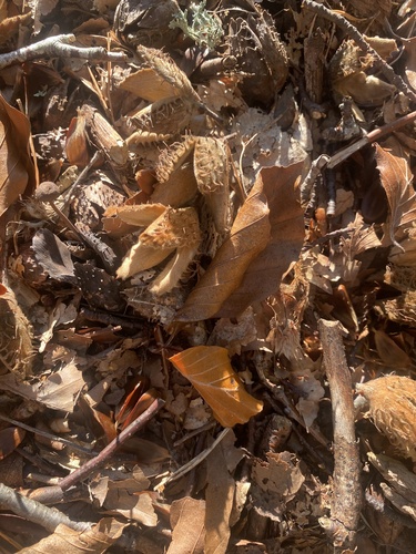
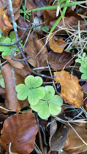



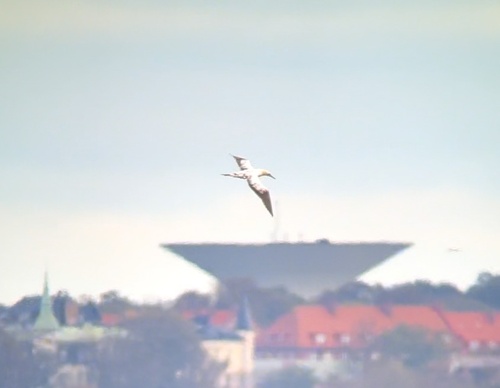
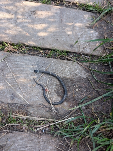
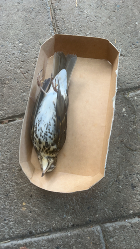
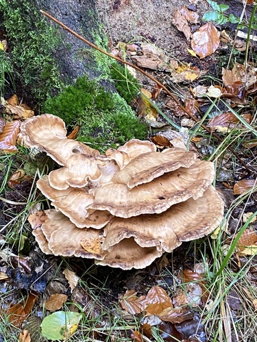
Research-grade observations from iNaturalist (within ~15 mi).
Events
Gallery
Sources
- • Wikipedia
- • Wikidata
- • Open-Meteo Air Quality (CAMS)
- • USGS Earthquake Catalog (global feed)
- • GBIF (Global Biodiversity Information Facility)
- • iNaturalist
- • Open-Meteo / sunrise-sunset.org
- • Wikipedia Pageviews API