Browse / Denmark / Capital Region / Snogebæk
Snogebæk
Capital Regionvillage

Snogebæk
Total population
732
Demographic figures from Statistics Denmark. Overview below cites Wikipedia and may reference a different year.
City facts
Overview
Snogebæk is a fishing village and tourist resort in the south-east of the Danish island of Bornholm some 5 km south of Nexø with a population of 676. It shares a fine sandy beach with neighbouring Balka.
Read more on WikipediaHistory & geography
History
The first written references to Snogebæk date from 1555 but it is thought the area has been inhabited since the Middle Ages. Originally it probably consisted of a few dispersed smallholdings providing a living from farming and fishing. The first harbour was built on the coast by the fishermen in 1869 but it soon filled up with sand. In 1889, thanks to the success of Bornholm's Armager development, a new island harbour was completed, connected to the shore by a wooden footbridge some 100 meters long. Yachting harbour facilities were added later. The community expanded in the 19th century when new homes sprang up between the farmhouses. In the 1920s, after summerhousess were added to the north and south, tourist facilities developed around the harbour. More recently, detached houses have been built to the west. Tourists are also attracted by the fishing village atmosphere, the sandy beach and the local restaurants which include a large smokehouse which is something of a landmark.
Excerpted from the corresponding Wikipedia article (CC BY-SA).
Geography
Coordinates & boundaries from the US Census TIGER/Line shapefiles.
Climate
Air quality
Walkability
Amenities nearby
Wildlife & biodiversity
Earthquake history
Photos
Sights & places nearby
Notable people from here


People born within ~10 km, from Wikidata (CC0). Click any name for their Wikipedia article.
Nearby places in Capital Region
- Balka1.1 mi away · pop. 244
- Nexø2.9 mi away · pop. 3,660
- Pedersker4.8 mi away · pop. 251
- Årsdale5.7 mi away · pop. 449
- Svaneke7.8 mi away · pop. 1,074
- Listed8.3 mi away · pop. 208
- Aakirkeby8.3 mi away · pop. 2,060
- Østermarie9 mi away · pop. 482
- Østerlars11.3 mi away · pop. 262
- Lobbæk11.6 mi away · pop. 359
- Nylars12.5 mi away · pop. 213
- Vestermarie12.9 mi away · pop. 244
Geography & sun
Elevation, sunrise/sunset and daylight from Open-Meteo. Solar climatology from NASA POWER.
Nearby airports
Public attention
Pageview totals from the Wikimedia Pageviews API.
Books about this place
Recent natural events nearby
Ground air-quality sensors
Recently spotted species
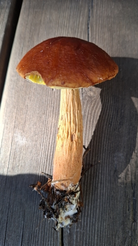
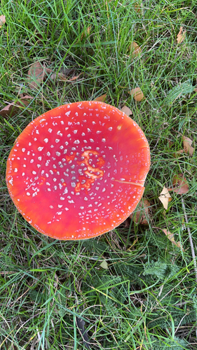
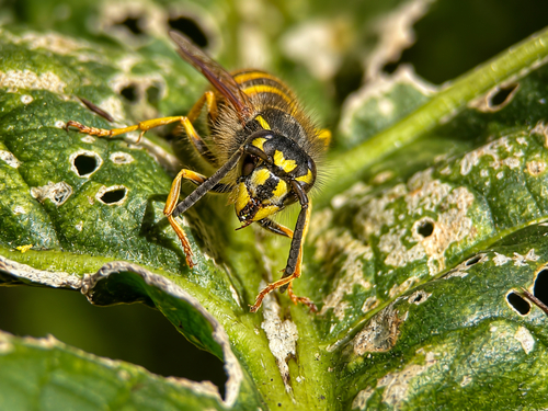
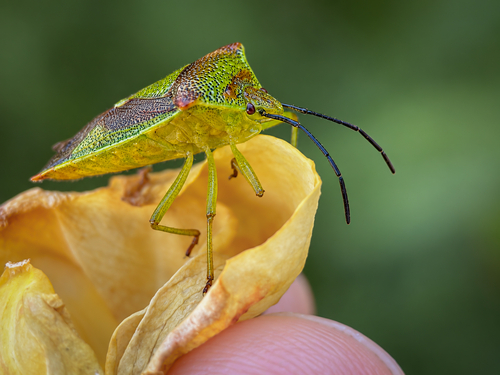
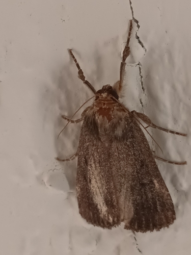
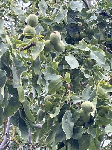
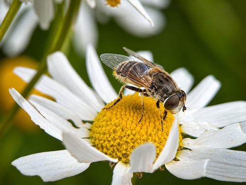
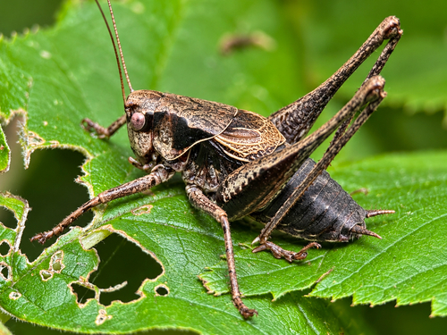
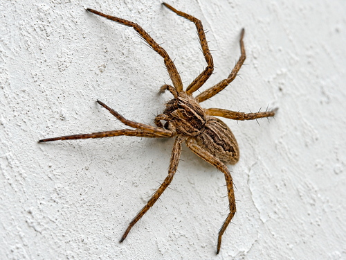
Research-grade observations from iNaturalist (within ~15 mi).
Events
Gallery
Sources
- • Wikipedia
- • Wikidata
- • iNaturalist
- • Open-Meteo / sunrise-sunset.org
- • Wikipedia Pageviews API