Browse / Denmark / Southern Denmark / Strib
Strib
Southern Denmarkvillage

Strib
Total population
4,425
Demographic figures from Statistics Denmark. Overview below cites Wikipedia and may reference a different year.
City facts
Overview
Strib is a town in Region of Southern Denmark, Denmark, with a population of 5,285. The closest large towns are Middelfart and Fredericia. The town lies at an altitude just a few meters above sea level on the island of Funen. Strib is the second wealthiest parish in Denmark outside the Greater Copenhagen area in terms of household income.
Read more on WikipediaHistory & geography
History
The town of Strib has been in existence for approximately 350 years. Four years after nearby Fredericia had been fortified, and the beginnings of the fortification of Strib, these two towns controlled the movement between Jutland and Funen. The people managed to build a rampart on the island, to protect from attacks. Three bastions were also built, but the building of the rampart was given up for unknown reasons. The next time Strib appears in history is when the railroad over Funen was finished in 1866. The settlers in the area were building a ferry port commenced operations. As the traffic increased and the town grew, around 1900 Strib became a fashionable place to spend summer vacations. Beach hotels appeared, music pavilions, and large villas, which were built along the cliffs on the north side of the peninsula. The good summer life lasted until World War I. In the Fredercia fort a lot of hardship arose, because the people were not allowed to build outside the walls for many years. It was almost natural that the people went to Strib and started a building boom on both sides of Vestergade (Western Street) from around 1910 to 1920. The town was considered a ferry-town until the opening of the first Little Belt Bridge in 1935. After the bridge opened, development almost came to a standstill. This economic stagnation lasted from about 1935 to 1950. The depression of the 1930s came to an end at the start of World War II. In the 1960s and 1970s and up until the present, Strib has developed much more. From 1962 to 1974 the abandoned ferry harbour housed the porpoise research station, one of the earliest research facilities in the world where the physiology and bioacoustics of harbour porpoises and harbour seals were studied. Today, the town is primarily a town of…
Excerpted from the corresponding Wikipedia article (CC BY-SA).
Geography
Coordinates & boundaries from the US Census TIGER/Line shapefiles.
Climate
Air quality
Walkability
Amenities nearby
Wildlife & biodiversity
Earthquake history
Photos
Sights & places nearby
Notable people from here


People born within ~10 km, from Wikidata (CC0). Click any name for their Wikipedia article.
Nearby places in Southern Denmark
- Fredericia2.1 mi away · pop. 41,044
- Snoghøj2.4 mi away · pop. 2,371
- Vejlby2.6 mi away · pop. 207
- Middelfart3 mi away
- Vejlby Fed3.3 mi away
- Ullerup4 mi away
- Kauslunde4.1 mi away · pop. 572
- Egeskov5.4 mi away
- Boegeskov5.7 mi away · pop. 304
- Skærbæk5.8 mi away · pop. 2,033
- Trelde-Oesterby5.9 mi away · pop. 644
- Båring6.3 mi away · pop. 962
Geography & sun
Elevation, sunrise/sunset and daylight from Open-Meteo. Solar climatology from NASA POWER.
Nearby airports
Public attention
Pageview totals from the Wikimedia Pageviews API.
Books about this place
Recent natural events nearby
Ground air-quality sensors
Recently spotted species
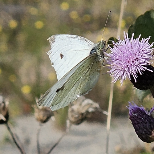
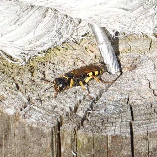
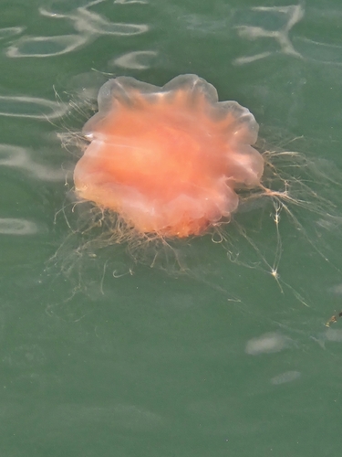

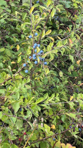
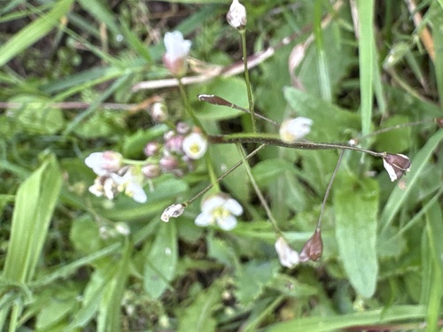
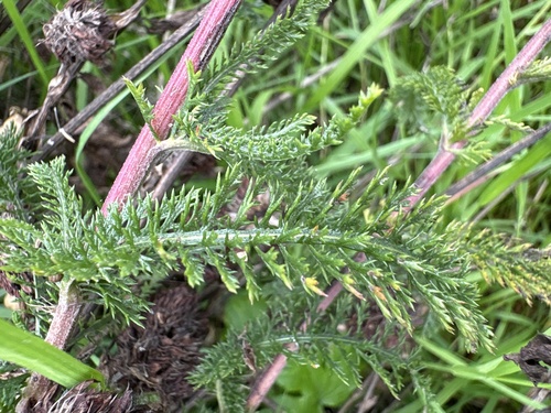
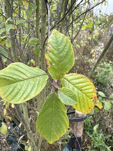

Research-grade observations from iNaturalist (within ~15 mi).
Events
Gallery
Sources
- • Wikipedia
- • Wikidata
- • iNaturalist
- • Open-Meteo / sunrise-sunset.org
- • Wikipedia Pageviews API