Browse / Denmark / Capital Region / Taastrup
Taastrup
Capital Regiontown

Taastrup
Total population
34,470
Demographic figures from Statistics Denmark. Overview below cites Wikipedia and may reference a different year.
City facts
Facts from Wikidata (CC0).
Overview
Taastrup is a Danish railway town and suburb of Copenhagen – 18 km west of Copenhagen's city centre. The town forms a twin urban area with neighbouring suburb Høje Taastrup, Taastrup rising since 1859 and Høje Taastrup rising west of the town, since the 1970s. The town/suburb development has engulfed the villages of Taastrup Valby, Høje Taastrup, Kragehave and Klovtofte, although Høje Taastrup still has a preserved village character around Høje Taastrup Church. The town is the administrative seat of Høje Taastrup Municipality, Region Hovedstaden; the seat placed in Taastrup first and since moving to Høje Taastrup in the beginning of the 1980s. In 2023 a new town hall was opened on 14 February.
Read more on WikipediaHistory & geography
Geography
The town is situated approximately halfway between Copenhagen and Roskilde, in proximity to the Copenhagen suburb/new town Albertslund, the town of Hedehusene and the villages of Ishøj Landsby, Sengeløse and Vridsløsemagle.
Excerpted from the corresponding Wikipedia article (CC BY-SA).
Geography
Coordinates & boundaries from the US Census TIGER/Line shapefiles.
Climate
Air quality
Walkability
Amenities nearby
Wildlife & biodiversity
Earthquake history
Photos
Sights & places nearby
Notable people from here


People born within ~10 km, from Wikidata (CC0). Click any name for their Wikipedia article.
Nearby places in Capital Region
- Ishøj Landsby1.9 mi away · pop. 1,031
- Torslunde2.3 mi away · pop. 274
- Vridsløsemagle2.3 mi away · pop. 263
- Sengeløse2.5 mi away · pop. 1,469
- Baldersbrønde2.8 mi away
- Vallensbæk Landsby3 mi away · pop. 459
- Hedehusene3.7 mi away · pop. 11,990
- Ledøje4 mi away · pop. 801
- Fløng4.1 mi away
- Glostrup4.2 mi away · pop. 21,805
- Reerslev4.5 mi away · pop. 644
- Stærkende4.8 mi away · pop. 154
Geography & sun
Elevation, sunrise/sunset and daylight from Open-Meteo. Solar climatology from NASA POWER.
Nearby airports
Public attention
Pageview totals from the Wikimedia Pageviews API.
Books about this place
Recent natural events nearby
Ground air-quality sensors
Recently spotted species
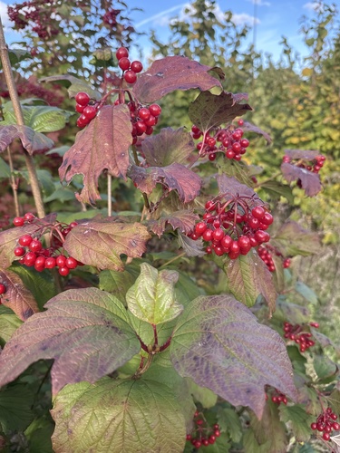
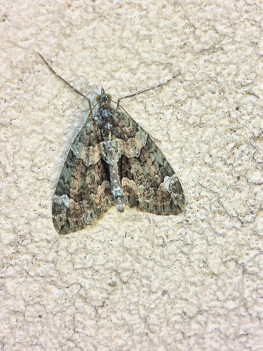
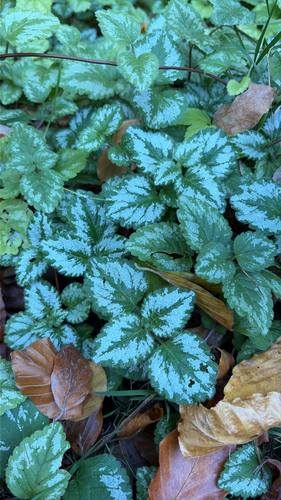

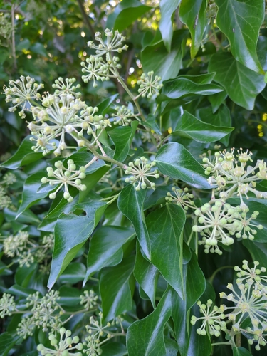

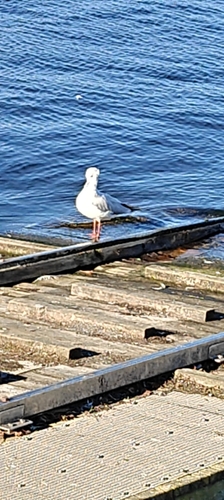


Research-grade observations from iNaturalist (within ~15 mi).
Events
Gallery
Sources
- • Wikipedia
- • Wikidata
- • iNaturalist
- • Open-Meteo / sunrise-sunset.org
- • Wikipedia Pageviews API