Browse / Dominican Republic / Santiago / Santiago de los Caballeros
Santiago de los Caballeros
Santiagocity

Santiago de los Caballeros
Total population
1,836,778
Founded
1495
Air quality index
Demographic figures from ONE Dominican Republic. Overview below cites Wikipedia and may reference a different year.
City facts
Sister cities
Facts from Wikidata (CC0).
Overview
Santiago de los Caballeros, often shortened to Santiago, is the second-largest city in the Dominican Republic and the fourth-largest city in the Caribbean by population. It is the capital of Santiago Province and the largest major metropolis in the Cibao region of the country. Santiago is the largest Caribbean city that is not a capital city, and the largest non-coastal metropolis in the Caribbean islands. It is approximately 155 km (96 mi) northwest of the capital, Santo Domingo, with an average altitude of 178 m (584 ft). The city has a population of 771,748 inhabitants (2022). Santiago's metropolitan area population composed of the municipalities of Santiago-Licey Al Medio-Baitoa-Tamboril-Puñal-Villa González is 1,261,852 as of 2022, making it the Dominican Republic's second-largest.
Read more on WikipediaHistory & geography
History
The name of the city (Saint James of the Knights) refers to the Hidalgos de la Isabela, a group of knights who had come from La Isabela to settle in Santiago. The colony was originally located in San Francisco de Jacagua (now a suburb of the city), founded in 1495. Still, when an earthquake destroyed it, it was moved to its current location in 1506. In granting in 1508 the Royal Privilege of Concession de Armas to the Villa de Santiago of Hispaniola, the heraldic emblem that was included in his shield was venerated. The royal decree was signed by King Ferdinand as administrator of the kingdoms of his daughter Joanna I of Castile. The city was devastated by another earthquake on December 2, 1562. The survivors settled on land belonging to Petronila Jáquez of Minaya, adjacent to the Yaque del Norte, which is the current location of the city's river. The brief French during the Peace of Basel (which yielded the Spanish part of the island to France in 1795) left its mark on Santiago. Santiago was returned to Spain under the Peace of Paris of 1814. During the 19th Century, Santiago began its modern urban planning. European neoclassicism is represented at the Palace Hall, built between 1892 and 1895, by a Belgian architect named Louis Bogaert. The late 1800s saw a peak of architecture in the city. Numerous residences were built in European styles, and make up the central core of Santiago.
Geography
Santiago de los Caballeros is located on a hilly terrain in the middle of the Cibao Valley in the Central Region of the Dominican Republic, one of the most fertile lands found in the island. The Yaque del Norte River passes by Santiago which is in between the Cordillera Central and the Cordillera Septentrional, two of the three major mountain ranges on the island of Hispaniola, forming the Cibao Valley. Santiago features a tropical monsoon climate (Am) under the Köppen climate classification. The average temperature varies little in the city, because the tropical trade winds help mitigate the heat and humidity throughout the year. December and January are the coolest months and July and August are the warmest. Santiago and the rest of the country are in the Caribbean and have a tropical climate, which, when coupled with the city's altitude, 183 meters above sea level, causes cloudy conditions to persist through much of the year. While the entire country is susceptible to Atlantic hurricanes, Santiago and its environs are more sheltered than other parts of the country from their effects because of its location in the Cibao Valley.
Excerpted from the corresponding Wikipedia article (CC BY-SA).
Geography
Coordinates & boundaries from the US Census TIGER/Line shapefiles.
Climate
Air quality
Current readings from Open-Meteo Air Quality API (Copernicus CAMS European reanalysis).
Walkability
Amenities nearby
Wildlife & biodiversity
Most-observed species
- Hispaniolan WoodpeckerMelanerpes striatus (P.L.S.Müller, 1776) · Aves285
- Eurasian Collared-DoveStreptopelia decaocto (Frivaldszky, 1838) · Aves278
- Northern MockingbirdMimus polyglottos (Linnaeus, 1758) · Aves277
- PalmchatDulus dominicus (Linnaeus, 1766) · Aves271
- BananaquitCoereba flaveola (Linnaeus, 1758) · Aves266
- Antillean Palm-SwiftTachornis phoenicobia Gosse, 1847 · Aves210
- Gray KingbirdTyrannus dominicensis (Gmelin, 1788) · Aves202
- Mourning DoveZenaida macroura (Linnaeus, 1758) · Aves197
Citizen-science & research observations from the Global Biodiversity Information Facility (GBIF).
Earthquake history
Most recent
- M 3.7 — 2026-06-031 km E of Arroyo Salado, Dominican Republic
- M 4.2 — 2025-11-166 km ENE of Villa Isabela, Dominican Republic
- M 4.7 — 2025-10-2016 km NW of San José de Ocoa, Dominican Republic
- M 3.8 — 2025-08-076 km W of Pedro García, Dominican Republic
- M 4 — 2025-05-281 km N of Palmar Arriba, Dominican Republic
- M 4.3 — 2025-05-0921 km NNE of Puerto Plata, Dominican Republic
Events from the USGS Earthquake Catalog (global) (FDSN Event Web Service).
Photos
Sights & places nearby
Notable people from here


People born within ~10 km, from Wikidata (CC0). Click any name for their Wikipedia article.
Nearby places in Santiago
- Lentate Verbano4759.7 mi away
- Castelnovetto4761.8 mi away · pop. 643
- Boffalora4762.1 mi away
- Zeme4764.9 mi away · pop. 1,197
- Robecchetto4766.9 mi away · pop. 4,885
- Dairago4771.3 mi away · pop. 4,580
- Cagno4772.1 mi away · pop. 2,004
- Casorezzo4773.5 mi away · pop. 4,633
- Castelnuovo Bozzente4773.6 mi away · pop. 777
- Locate Varesino4773.6 mi away · pop. 3,960
- San Giorgio su Legnano4773.7 mi away · pop. 6,173
- Uggiate4773.9 mi away · pop. 4,573
Geography & sun
Elevation, sunrise/sunset and daylight from Open-Meteo. Solar climatology from NASA POWER.
Nearby airports
Public attention
Pageview totals from the Wikimedia Pageviews API.
Books about Santiago de los Caballeros
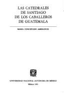


Search results from Open Library.
Recent natural events nearby
Ground air-quality sensors
Recently spotted species
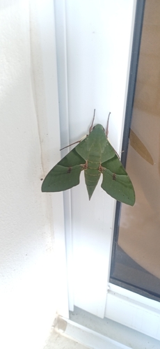
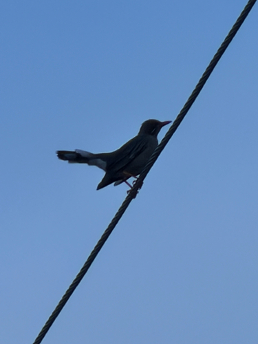
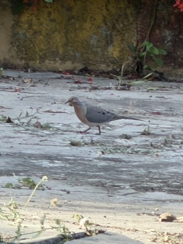
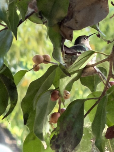
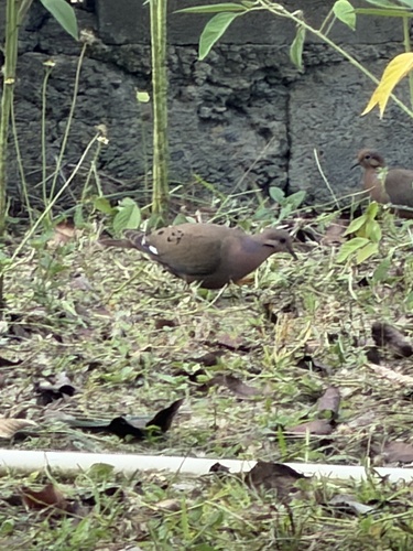
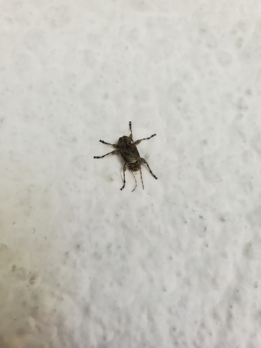
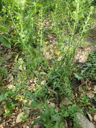
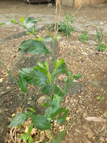
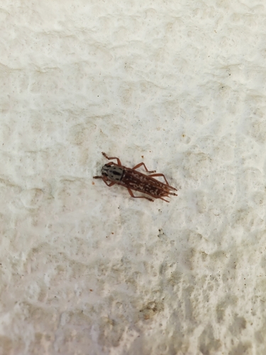
Research-grade observations from iNaturalist (within ~15 mi).
Events
Gallery
Geotagged photos within ~6 miles of Santiago de los Caballeros, from Wikimedia Commons contributors.
 0.1 mi
 0.1 mi
 0.2 mi
.jpg) 0.2 mi
0.2 mi.jpg) 0.2 mi
0.2 mi 0.2 mi
 0.2 mi
 0.3 mi
 0.3 mi
 0.3 mi
 0.3 mi
 0.3 mi
 0.3 mi
.jpg) 0.3 mi
0.3 mi.jpg) 0.3 mi
0.3 mi 0.4 mi
_-_panoramio.jpg) 0.4 mi
0.4 mi 0.6 mi
 0.7 mi
 0.8 mi
 0.9 mi
 0.9 mi
 0.9 mi
 0.9 mi
Photos via Wikimedia Commons — see each image page for license & attribution.
Sources
- • Wikipedia
- • Wikimedia Commons
- • Wikidata
- • Open-Meteo Air Quality (CAMS)
- • USGS Earthquake Catalog (global feed)
- • GBIF (Global Biodiversity Information Facility)
- • iNaturalist
- • Open-Meteo / sunrise-sunset.org
- • Wikipedia Pageviews API
- • Open Library
- • Wikidata SPARQL (CC0) — population, area, elevation, inception, head of government, Commons image