Browse / Dominican Republic / Baoruco / Villa Jaragua
Villa Jaragua
Baorucocity
Total population
10,619
Air quality index
Demographic figures from ONE Dominican Republic. Overview below cites Wikipedia and may reference a different year.
City facts
Overview
Within Baoruco, Dominican Republic, Villa Jaragua stands as a small city. Coordinates of 18.490°, -71.487° situate Villa Jaragua in the tropical zone of the northern hemisphere. Census-style estimates put the resident count near 10,619. Being so close to sea level, the city likely sits near a coastline or lowland waterway. At 77 people per km², the city shows a sparse settlement pattern. The location receives about 2,030 kWh/m² of solar irradiance per year and sunshine for roughly 79% of daylight hours. Its latitude implies a climate characterised by warm temperatures throughout the year with pronounced wet and dry seasons. Spanning an area of about 137.2 km², Villa Jaragua lies very close to sea level (12 m). Open-data panels below dive into population trends, climate normals, environmental indicators and nearby places.
Summary composed automatically from structured open data on this page. See our Terms for details.
History & geography
Geography
Coordinates & boundaries from the US Census TIGER/Line shapefiles.
Climate
Air quality
Current readings from Open-Meteo Air Quality API (Copernicus CAMS European reanalysis).
Walkability
Amenities nearby
Wildlife & biodiversity
Most-observed species
- Hispaniolan WoodpeckerMelanerpes striatus (P.L.S.Müller, 1776) · Aves607
- Broad-billed TodyTodus subulatus G.R.Gray, 1847 · Aves540
- Stolid FlycatcherMyiarchus stolidus (Gosse, 1847) · Aves455
- Northern MockingbirdMimus polyglottos (Linnaeus, 1758) · Aves408
- Black-crowned Palm-TanagerPhaenicophilus palmarum (Linnaeus, 1766) · Aves361
- American KestrelFalco sparverius Linnaeus, 1758 · Aves361
- Common Ground-DoveColumbina passerina (Linnaeus, 1758) · Aves351
- Gray KingbirdTyrannus dominicensis (Gmelin, 1788) · Aves341
Citizen-science & research observations from the Global Biodiversity Information Facility (GBIF).
Earthquake history
Most recent
- M 4.3 — 2026-02-0510 km NW of Anse-à-Pitre, Haiti
- M 4.7 — 2025-10-2016 km NW of San José de Ocoa, Dominican Republic
- M 3.9 — 2025-08-054 km NNE of Croix-des-Bouquets, Haiti
- M 4.4 — 2025-03-195 km SSW of La Uvilla, Dominican Republic
- M 4.4 — 2023-10-085 km NW of Duvergé, Dominican Republic
- M 4.3 — 2022-01-307 km WSW of Las Salinas, Dominican Republic
Events from the USGS Earthquake Catalog (global) (FDSN Event Web Service).
Photos
Sights & places nearby
Notable people from here
Geography & sun
Elevation, sunrise/sunset and daylight from Open-Meteo. Solar climatology from NASA POWER.
Nearby airports
Public attention
Pageview totals from the Wikimedia Pageviews API.
Books about this place
Recent natural events nearby
Ground air-quality sensors
Recently spotted species
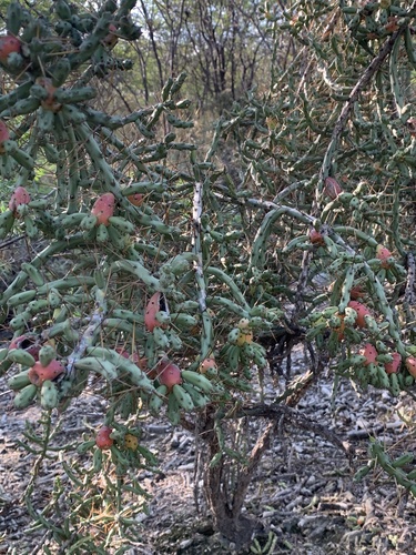
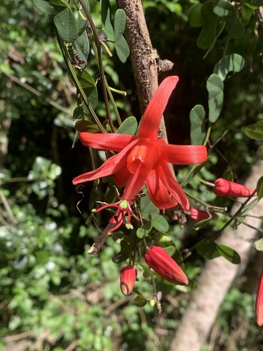
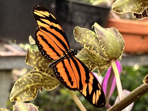
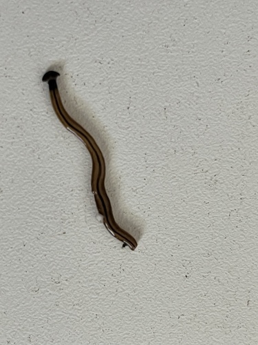
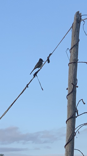
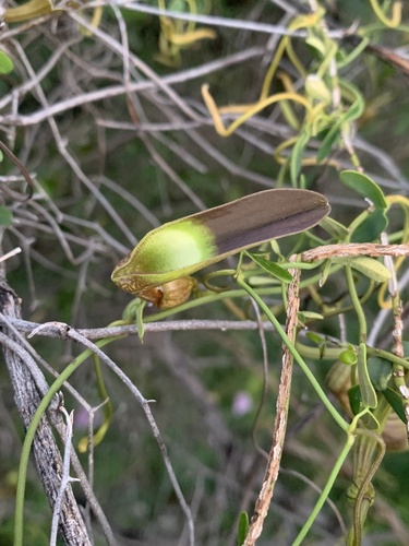
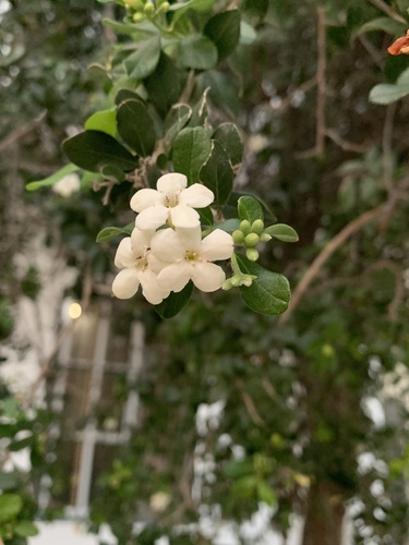
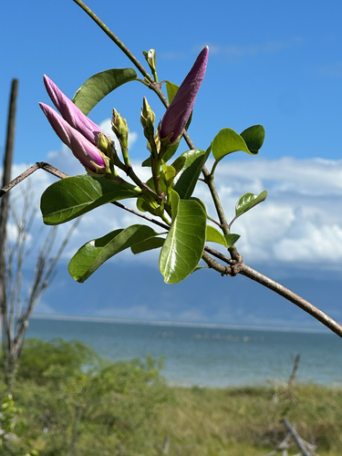
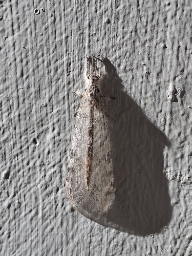
Research-grade observations from iNaturalist (within ~15 mi).
Events
Gallery
Geotagged photos within ~6 miles of Villa Jaragua, from Wikimedia Commons contributors.


Photos via Wikimedia Commons — see each image page for license & attribution.
Sources
- • Wikimedia Commons
- • Open-Meteo Air Quality (CAMS)
- • USGS Earthquake Catalog (global feed)
- • GBIF (Global Biodiversity Information Facility)
- • iNaturalist
- • Open-Meteo / sunrise-sunset.org
- • Wikipedia Pageviews API
- • Wikidata SPARQL (CC0) — population, area, elevation, inception, head of government, Commons image