Browse / Algeria / Tizi Ouzou / Aghrib
Aghrib
Tizi Ouzouvillage
Total population
12,474
Demographic figures from Office National des Statistiques (Algeria). Overview below cites Wikipedia and may reference a different year.
City facts
Overview
Aghrib, a small village in Tizi Ouzou, Algeria, forms part of the country's settled landscape. Geographically it lies in the northern hemisphere at a warm temperate latitude (36.805°, 4.323°). Census-style estimates put the resident count near 12,474. Open solar datasets indicate about 1,762 kWh/m² of solar irradiance per year, combined with sunshine for roughly 69% of daylight hours. Climatically, locations at this latitude tend to experience warm summers and cool winters. Read on for charts and tables covering demographics, climate, hazards, schools, wildlife and other open-data indicators for Aghrib.
Summary composed automatically from structured open data on this page. See our Terms for details.
History & geography
Geography
Coordinates & boundaries from the US Census TIGER/Line shapefiles.
Climate
Air quality
Walkability
Amenities nearby
Wildlife & biodiversity
Most-observed species
- GoldcrestRegulus regulus (Linnaeus, 1758) · Aves70
- Sahara FrogPelophylax saharicus (Boulenger, 1913) · Amphibia35
- Potamon algeriense Bott, 1967Potamon algeriense Bott, 1967 · Malacostraca32
- Four-spottedTyta luctuosa (Denis & Schiffermüller), 1775 · Insecta20
- Waved UmberMenophra abruptaria (Thunberg, 1792) · Insecta19
- Zebeeba falsalis (Herrich-Schäffer, 1839)Zebeeba falsalis (Herrich-Schäffer, 1839) · Insecta17
- Mastic TreePistacia lentiscus L. · Magnoliopsida17
- Idaea attenuaria (Rambur, 1833)Idaea attenuaria (Rambur, 1833) · Insecta17
Citizen-science & research observations from the Global Biodiversity Information Facility (GBIF).
Earthquake history
Photos
Sights & places nearby
Notable people from here


People born within ~10 km, from Wikidata (CC0). Click any name for their Wikipedia article.
Nearby places in Tizi Ouzou
- Nezla5.7 mi away
- Azeffoun8.1 mi away · pop. 16,847
- Boudafal14.9 mi away
- Ahfir16.1 mi away
- Yatafene17.8 mi away · pop. 4,016
- Torrão694.3 mi away · pop. 1,494
- Alvalade702 mi away · pop. 1,605
- Azinheira dos Barros703.9 mi away · pop. 182
- Santa Susana704.4 mi away · pop. 131
- São Domingos710 mi away · pop. 353
- Alcácer do Sal710.5 mi away · pop. 5,347
- Casebres710.5 mi away · pop. 339
Geography & sun
Elevation, sunrise/sunset and daylight from Open-Meteo. Solar climatology from NASA POWER.
Nearby airports
Public attention
Books about this place
Recent natural events nearby
Ground air-quality sensors
Recently spotted species
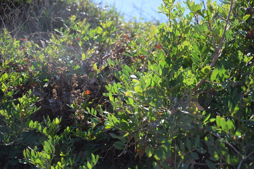
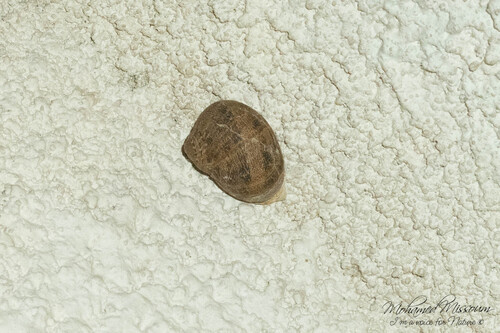
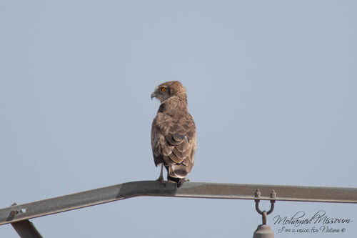
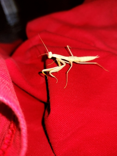
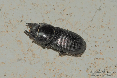
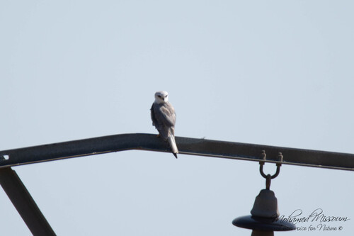
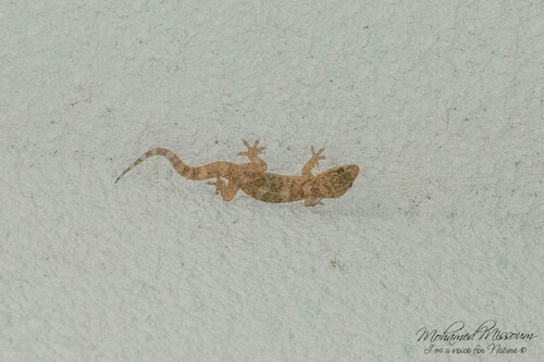
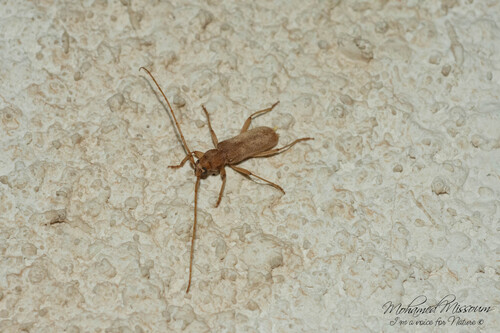
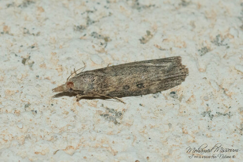
Research-grade observations from iNaturalist (within ~15 mi).
Events
Gallery
Sources
- • Wikidata
- • GBIF (Global Biodiversity Information Facility)
- • iNaturalist
- • Open-Meteo / sunrise-sunset.org