Browse / Algeria / Mila / Ain Beida Harriche
Ain Beida Harriche
Milatown

Ain Beida Harriche
Total population
21,013
Demographic figures from Office National des Statistiques (Algeria). Overview below cites Wikipedia and may reference a different year.
City facts
Overview
Aïn Beida Harriche is a town and commune in Mila Province, Algeria. At the 1998 census it had a population of 18,513.
Read more on WikipediaHistory & geography
Geography
Coordinates & boundaries from the US Census TIGER/Line shapefiles.
Climate
Air quality
Walkability
Amenities nearby
Wildlife & biodiversity
Most-observed species
- Algerian NuthatchSitta ledanti Vielliard, 1976 · Aves109
- Atlas FlycatcherFicedula speculigera (Bonaparte, 1850) · Aves59
- African ChaffinchFringilla spodiogenys Bonaparte, 1841 · Aves27
- Coal TitPeriparus ater (Linnaeus, 1758) · Aves24
- Short-toed TreecreeperCerthia brachydactyla C.L.Brehm, 1820 · Aves22
- Levaillant's WoodpeckerPicus vaillantii (Malherbe, 1847) · Aves19
- African Blue TitCyanistes teneriffae (Lesson, 1831) · Aves17
- Spotted FlycatcherMuscicapa striata (Pallas, 1764) · Aves15
Citizen-science & research observations from the Global Biodiversity Information Facility (GBIF).
Earthquake history
Most recent
- M 4.7 — 2026-06-036 km NNW of Draa Klalouche, Algeria
- M 5.2 — 2022-03-1913 km NE of Bejaïa, Algeria
- M 4.3 — 2021-12-2815 km SSW of Skikda, Algeria
- M 4.6 — 2021-07-1918 km SW of Jijel, Algeria
- M 4.6 — 2021-03-2512 km NE of Bejaïa, Algeria
- M 4.5 — 2021-03-24northern Algeria
Events from the USGS Earthquake Catalog (global) (FDSN Event Web Service).
Photos
Sights & places nearby
Notable people from here
Nearby places in Mila
- Ouled Achour2.1 mi away
- Mechtat Ayad3.8 mi away
- Mechtat El Hamara4.6 mi away
- El Ayadi Barbes5 mi away
- Mechtat El Kef5 mi away
- Yahia Beni Guecha5.6 mi away
- Mechtat El Kharba5.6 mi away
- Mechtat Aïn Khalfi5.7 mi away
- Mechtat Bouchekif5.8 mi away
- Derrahi Bousselah6.1 mi away
- Mechtat Tansa6.8 mi away
- Douar Tafs7.3 mi away
Geography & sun
Elevation, sunrise/sunset and daylight from Open-Meteo. Solar climatology from NASA POWER.
Nearby airports
Public attention
Pageview totals from the Wikimedia Pageviews API.
Books about this place
Recent natural events nearby
Ground air-quality sensors
Recently spotted species
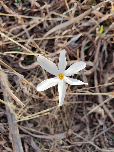
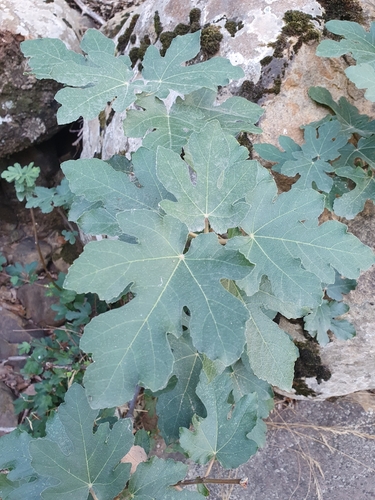
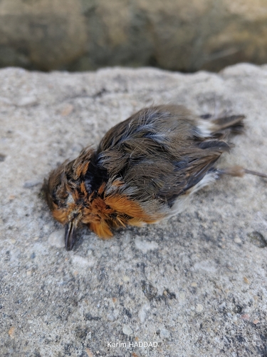
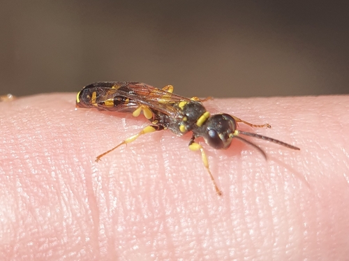
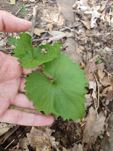
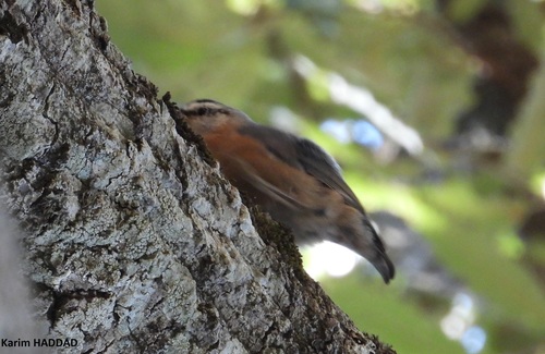
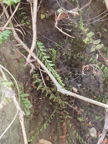
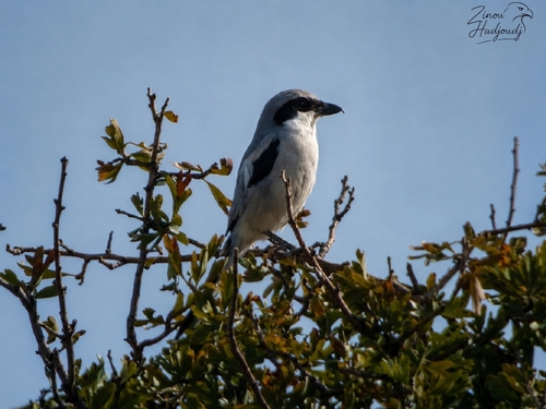
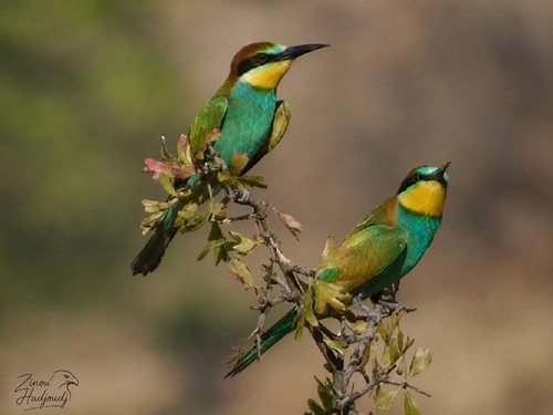
Research-grade observations from iNaturalist (within ~15 mi).
Events
Gallery
Sources
- • Wikipedia
- • USGS Earthquake Catalog (global feed)
- • GBIF (Global Biodiversity Information Facility)
- • iNaturalist
- • Open-Meteo / sunrise-sunset.org
- • Wikipedia Pageviews API