Browse / Algeria / Guelma / Ain Sandel
Ain Sandel
Guelmavillage
Demographic figures from Office National des Statistiques (Algeria). Overview below cites Wikipedia and may reference a different year.
City facts
Overview
Ain Sandel, a village in Guelma, Algeria, forms part of the country's settled landscape. Coordinates of 36.243°, 7.513° situate Ain Sandel in the warm-temperate zone of the northern hemisphere. Detailed population figures are not currently catalogued in the open data sources we track. Climatically, locations at this latitude tend to experience warm summers and cool winters. The location receives about 1,731 kWh/m² of solar irradiance per year and sunshine for roughly 68% of daylight hours. Continue scrolling for population, climate, environmental and points-of-interest data drawn from public sources.
Summary composed automatically from structured open data on this page. See our Terms for details.
History & geography
Geography
Coordinates & boundaries from the US Census TIGER/Line shapefiles.
Climate
Air quality
Walkability
Amenities nearby
Wildlife & biodiversity
Earthquake history
Photos
Sights & places nearby
Notable people from here
Nearby places in Guelma
- عين السوداء ⵄⵉⵏ ⵙⵓⴷⴰ2 mi away
- Mechta Bazina2.6 mi away · pop. 202
- Bou Hachana4.4 mi away
- Aïn Larbi6.7 mi away
- عين العربي ⵄⵉⵏ ⵍⵄⴻⵔⴱⵉ7.5 mi away
- Hammam N'Bail9.1 mi away · pop. 16,199
- البرنوس ⵍⴱⴻⵔⵏⵓⵙ9.8 mi away
- صالح السوفي ⵚⴰⵍⴻⵃ ⵙⵓⴼⵉ11.2 mi away
- Salah Soufi13.9 mi away
- Sidi Kazerou14.3 mi away
- Dahouara14.4 mi away
- Bendjarah15.3 mi away
Geography & sun
Elevation, sunrise/sunset and daylight from Open-Meteo. Solar climatology from NASA POWER.
Nearby airports
Public attention
Pageview totals from the Wikimedia Pageviews API.
Books about this place
Recent natural events nearby
Ground air-quality sensors
Recently spotted species
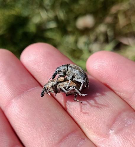
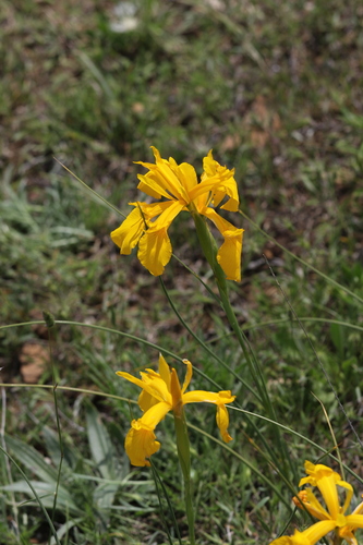
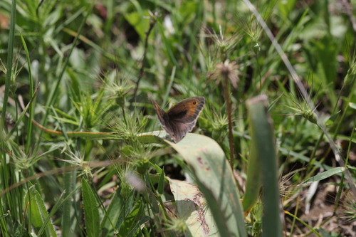
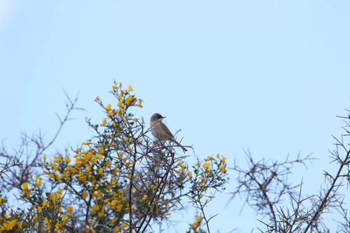
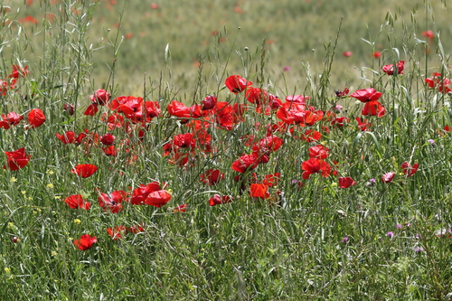
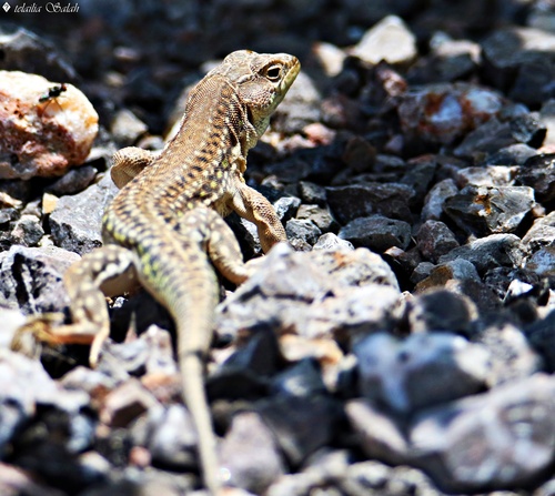
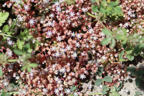
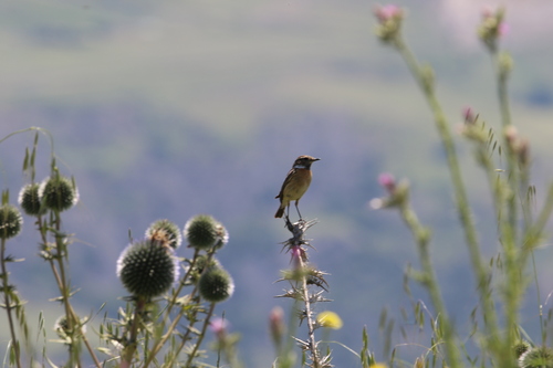
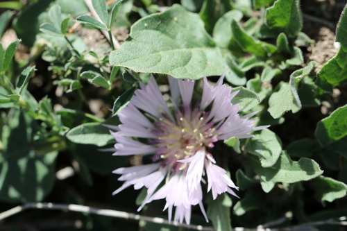
Research-grade observations from iNaturalist (within ~15 mi).
Events
Gallery
Sources
- • Wikidata
- • iNaturalist
- • Open-Meteo / sunrise-sunset.org
- • Wikipedia Pageviews API