Browse / Algeria / Blida / Aït Djellid
Aït Djellid
Blidavillage
Demographic figures from Office National des Statistiques (Algeria). Overview below cites Wikipedia and may reference a different year.
City facts
Overview
Within Blida, Algeria, Aït Djellid stands as a village. Detailed population figures are not currently catalogued in the open data sources we track. Aït Djellid maps to 36.532°, 3.198° — squarely within the warm temperate belt. The location receives about 1,765 kWh/m² of solar irradiance per year and sunshine for roughly 69% of daylight hours. Climatically, locations at this latitude tend to experience warm summers and cool winters. The remainder of this page draws on open public data to describe the area's demographics, climate, environment and nearby amenities.
Summary composed automatically from structured open data on this page. See our Terms for details.
History & geography
Geography
Coordinates & boundaries from the US Census TIGER/Line shapefiles.
Climate
Air quality
Walkability
Amenities nearby
Wildlife & biodiversity
Most-observed species
- Ferruginous DuckAythya nyroca (Güldenstädt, 1770) · Aves15
- White-headed DuckOxyura leucocephala (Scopoli, 1769) · Aves14
- Eurasian Golden OrioleOriolus oriolus (Linnaeus, 1758) · Aves9
- European RobinErithacus rubecula (Linnaeus, 1758) · Aves8
- Gray WagtailMotacilla cinerea Tunstall, 1771 · Aves7
- Cattle EgretBubulcus ibis (Linnaeus, 1758) · Aves6
- Eurasian BlackcapSylvia atricapilla (Linnaeus, 1758) · Aves6
- Bermuda-buttercupOxalis pes-caprae L. · Magnoliopsida6
Citizen-science & research observations from the Global Biodiversity Information Facility (GBIF).
Earthquake history
Most recent
- M 4.8 — 2025-03-1819 km SW of Lakhdaria, Algeria
- M 4 — 2022-12-07northern Algeria
- M 4.1 — 2022-11-2024 km WNW of Dellys, Algeria
- M 4.8 — 2022-11-1224 km NE of Berrouaghia, Algeria
- M 4.1 — 2022-03-1816 km ENE of Berrouaghia, Algeria
- M 4.4 — 2020-08-134 km SSE of Chiffa, Algeria
Events from the USGS Earthquake Catalog (global) (FDSN Event Web Service).
Photos
Sights & places nearby
Notable people from here


People born within ~10 km, from Wikidata (CC0). Click any name for their Wikipedia article.
Geography & sun
Elevation, sunrise/sunset and daylight from Open-Meteo. Solar climatology from NASA POWER.
Nearby airports
Public attention
Books about this place
Recent natural events nearby
Ground air-quality sensors
Recently spotted species
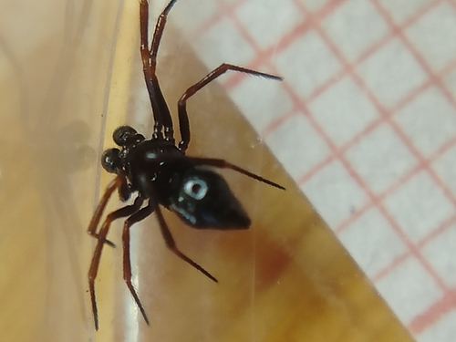
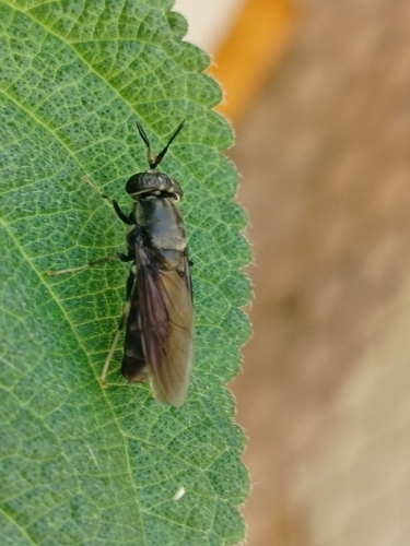
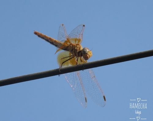
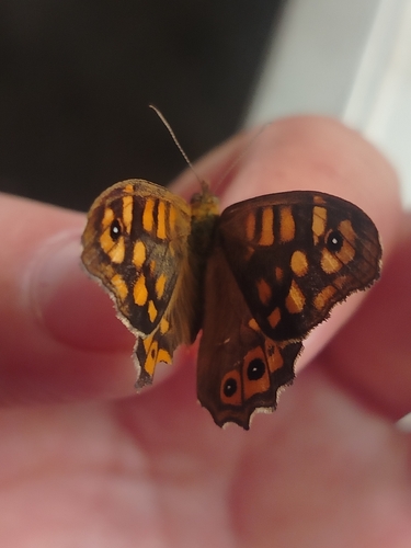
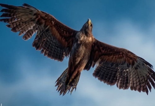
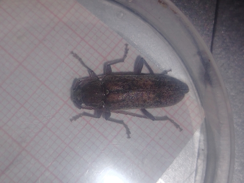
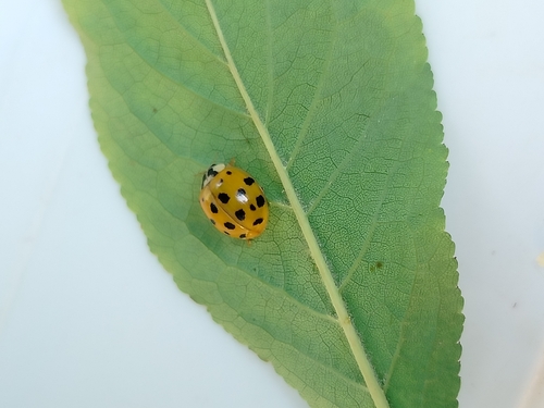
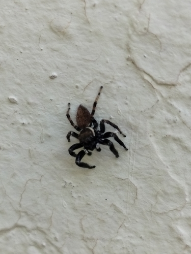
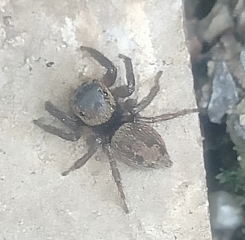
Research-grade observations from iNaturalist (within ~15 mi).
Events
Gallery
Sources
- • Wikidata
- • USGS Earthquake Catalog (global feed)
- • GBIF (Global Biodiversity Information Facility)
- • iNaturalist
- • Open-Meteo / sunrise-sunset.org