Browse / Algeria / Béjaïa / Bou Saada
Bou Saada
Béjaïacity
Total population
125,573
Demographic figures from Office National des Statistiques (Algeria). Overview below cites Wikipedia and may reference a different year.
City facts
Facts from Wikidata (CC0).
Overview
Within Béjaïa, Algeria, Bou Saada stands as a sizeable town. Bou Saada maps to 36.453°, 5.330° — squarely within the warm temperate belt. The population stands at approximately 125,573. The latitude suggests warm summers and cool winters. Solar-resource estimates put the area at about 1,730 kWh/m² of solar irradiance per year with sunshine for roughly 68% of daylight hours. The remainder of this page draws on open public data to describe the area's demographics, climate, environment and nearby amenities.
Summary composed automatically from structured open data on this page. See our Terms for details.
History & geography
Geography
Bou-Saada is located in the southwest of the Hodna region in the Hauts Plateaux, at the feet of the Ouled Naïl Range of the Saharan Atlas. Bou-Saada has traditionally been an important market place producing and selling jewelry, metalwork, carpets and bousaadi knives. There is also a textile mill in town. Even in modern times, Bou-Saada is an important trading post for nomads. There is also some national tourism during winter. Bou-Saada is well-connected with other urban centres by road. M'Sila is 70 km northeast, Biskra is 175 km east, Bordj Bou Arreridj 130 km northeast and Djelfa 120 km southwest. Bou-Saada has two quarters, the old medina (ksar) within the city walls with arched alleyways, and the French town to the south. Surrounding the town are extensive date groves. {| class="wikitable" |+ Historical population ! Year !! Population |- | 1954 || 66,800 |- | 1966 || 26,300 |- | 1977 || 46,800 (town)50,100 (municipality) |- | 1987 || 68,700 |- | 1998 || 99,800 |- | 2000 || 104,800 |- | 2008 || 134,000 |} Bou Saada has a cold desert climate (Köppen climate classification BWk). Rainfall is higher in winter than in summer. The average annual temperature in Bou Saada is . About of precipitation falls annually.
Excerpted from the corresponding Wikipedia article (CC BY-SA).
Geography
Coordinates & boundaries from the US Census TIGER/Line shapefiles.
Climate
Air quality
Walkability
Amenities nearby
Wildlife & biodiversity
Earthquake history
Photos
Sights & places nearby
Notable people from here


People born within ~10 km, from Wikidata (CC0). Click any name for their Wikipedia article.
Nearby places in Béjaïa
Geography & sun
Elevation, sunrise/sunset and daylight from Open-Meteo. Solar climatology from NASA POWER.
Nearby airports
Public attention
Pageview totals from the Wikimedia Pageviews API.
Books about this place
Recent natural events nearby
Ground air-quality sensors
Recently spotted species
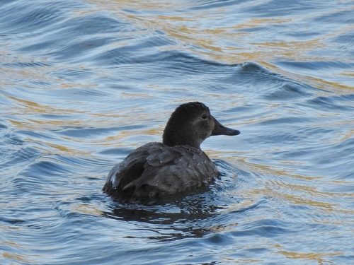
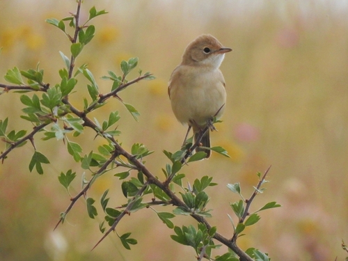
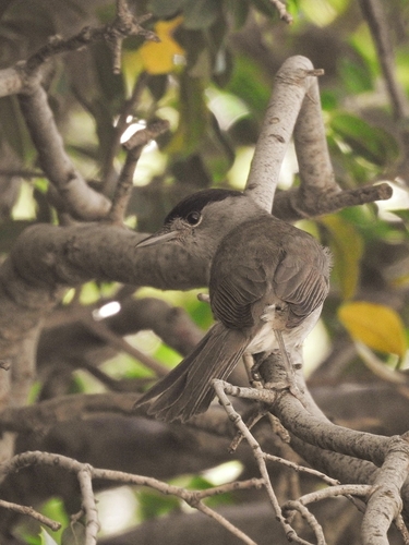
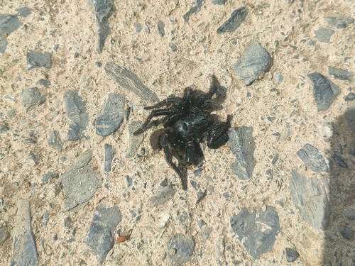
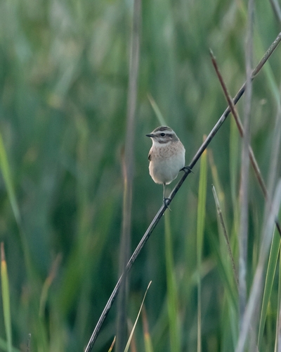
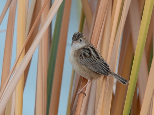
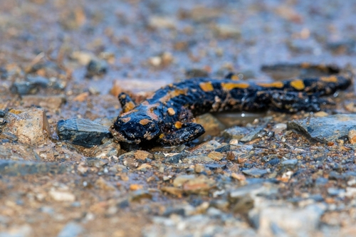


Research-grade observations from iNaturalist (within ~15 mi).
Events
Gallery
Sources
- • Wikipedia
- • Wikidata
- • iNaturalist
- • Open-Meteo / sunrise-sunset.org
- • Wikipedia Pageviews API