Browse / Algeria / Skikda / Collo
Collo
Skikdacity

Collo
Total population
83,000
Demographic figures from Office National des Statistiques (Algeria). Overview below cites Wikipedia and may reference a different year.
City facts
Facts from Wikidata (CC0).
Overview
Collo, known as Chullu in antiquity, is a port town in the Skikda Province in northeastern Algeria, and forms part of the Collo Massif region. It is the capital and one of three municipalities of the Collo District.
Read more on WikipediaHistory & geography
History
In Roman times, Collo was a city in the province of Numidia, called Chullu. At the joint Conference of Carthage (411) that brought together Catholic and Donatist bishops of Roman Africa, Chullu was represented by the Catholic bishop Victor and the Donatist Fidentius. In the book Al-Istibsar fi 'agaib al-Amsar, written in the late 12th century, the author wrote about the city:"An ancient city with many ruins from the early Romans. Located on the seashore, it serves as the port of the city of Constantine. The city is rich in fruits and resources, with an abundance of grapes and remarkable apples. It holds strategic importance, generating significant revenue and oversight. It is both a land and maritime city." In 1282, king Peter III of Aragon led an expedition to Collo, in proclaimed support of a rebellion against the ruler of Tunis. The rebellion had collapsed before Peter arrived, but he kept his army there for several weeks until, in the wake of the Sicilian Vespers, envoys from Sicily came to Collo to offer him its throne. The resulting war continued until 1301.
Geography
Collo has a total area of . The city is distinguished by its containing a mountain range, the most prominent of which are el Goufi , Sidi Achour , and the Tars Mountains. It is known for its various beaches and tourist attractions. Collo's climate is classified as warm and temperate. The rain falls mostly in the winter, with relatively little rain in the summer. According to the Köppen Climate Classification system, this climate is classified as "Csa". The average annual temperature is , and precipitation is about per year.
Excerpted from the corresponding Wikipedia article (CC BY-SA).
Geography
Coordinates & boundaries from the US Census TIGER/Line shapefiles.
Climate
Air quality
Walkability
Amenities nearby
Wildlife & biodiversity
Earthquake history
Photos
Sights & places nearby
Notable people from here
Nearby places in Skikda
- Bir Bouregba225 mi away
- Tazoghrane237.5 mi away
- Menzel Temime245 mi away · pop. 65,645
- Kelibia250.1 mi away · pop. 58,491
- Ormea498.5 mi away · pop. 1,967
- Tetti Mecci498.8 mi away
- Valsorda503.2 mi away
- Bagni di Vinadio503.9 mi away
- Fontane503.9 mi away
- Pratolungo504.9 mi away
- Festiona505.6 mi away
- Robilante505.9 mi away · pop. 2,316
Geography & sun
Elevation, sunrise/sunset and daylight from Open-Meteo. Solar climatology from NASA POWER.
Nearby airports
Public attention
Pageview totals from the Wikimedia Pageviews API.
Books about this place
Recent natural events nearby
Ground air-quality sensors
Recently spotted species
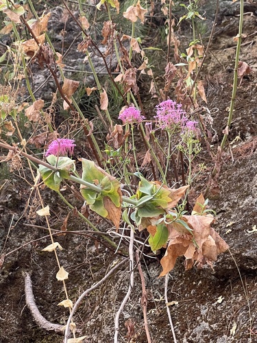
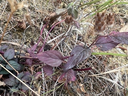
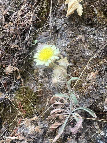
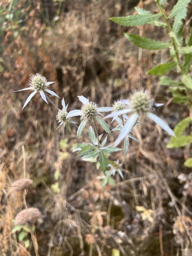
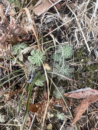
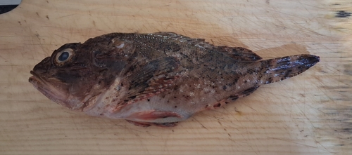
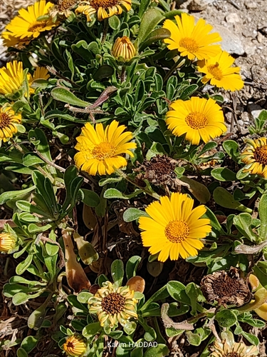
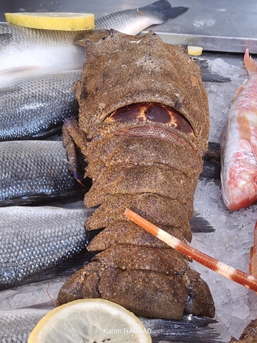
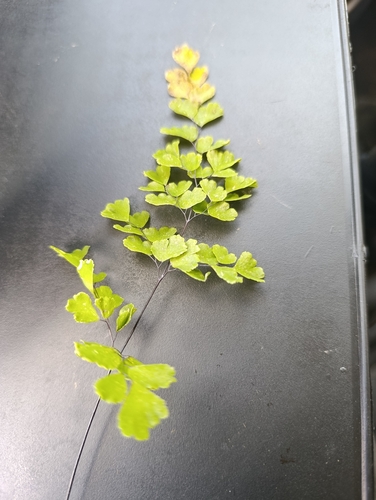
Research-grade observations from iNaturalist (within ~15 mi).
Events
Gallery
Sources
- • Wikipedia
- • Wikidata
- • iNaturalist
- • Open-Meteo / sunrise-sunset.org
- • Wikipedia Pageviews API