Browse / Algeria / Aïn Defla / Djendel
Djendel
Aïn Deflatown

Djendel
Total population
30,170
Demographic figures from Office National des Statistiques (Algeria). Overview below cites Wikipedia and may reference a different year.
City facts
Overview
Djendel is a commune in the Aïn Defla wilaya in northern Algeria, located 110 km southwest of Algiers, 40 km east of Aïn Defla, and 30 km southwest of Médéa.
Read more on WikipediaHistory & geography
History
Formerly a mixed commune (commune mixte[fr] - an area where Europeans were present though in very small numbers) in the Algiers département of French Algeria, created on 25 August 1880, Djendel incorporated the douars (tribal territories) of Djendel, Ghribs, and Oued-Telbenet. On 16 December 1905 Djendel absorbed some of the dissolved mixed commune of Hammam Righa. In 1956, it was promoted by decree from a mixed commune to a commune according to the Law of 1884 and was absorbed into the département of Orléansville. The commune maintained its municipal status during the restructuring of 1963, absorbing the former communes of Aïn Lechiekh and Oued Djemaâ (October 1963 for the latter). In 1893, during the colonization period, the city was named Lavigerie in honor of Charles Martial Allemand Lavigerie. After independence, the commune was renamed Djendel by decree no. 65-246[fr] of 30 September 1965.
Excerpted from the corresponding Wikipedia article (CC BY-SA).
Geography
Coordinates & boundaries from the US Census TIGER/Line shapefiles.
Climate
Air quality
Walkability
Amenities nearby
Wildlife & biodiversity
Most-observed species
- White MignonetteReseda alba L. · Magnoliopsida4
- smooth golden fleeceUrospermum dalechampii (L.) Scop. ex F.W.Schmidt · Magnoliopsida3
- Pale SpeedwellVeronica cymbalaria Bodard · Magnoliopsida3
- Teucrium pseudochamaepitys L.Teucrium pseudochamaepitys L. · Magnoliopsida3
- Shepherd's-needleScandix pecten-veneris L. · Magnoliopsida2
- Field MapleAcer campestre L. · Magnoliopsida2
- Indian-FigOpuntia ficus-indica (L.) Mill. · Magnoliopsida2
- Golden ThistleScolymus hispanicus L. · Magnoliopsida2
Citizen-science & research observations from the Global Biodiversity Information Facility (GBIF).
Earthquake history
Most recent
- M 4.8 — 2025-03-1819 km SW of Lakhdaria, Algeria
- M 5 — 2024-12-1617 km ENE of Sidi Akkacha, Algeria
- M 4 — 2022-12-07northern Algeria
- M 4.8 — 2022-11-1224 km NE of Berrouaghia, Algeria
- M 4.1 — 2022-03-1816 km ENE of Berrouaghia, Algeria
- M 4.4 — 2021-07-315 km NNW of El Abadia, Algeria
Events from the USGS Earthquake Catalog (global) (FDSN Event Web Service).
Photos
Sights & places nearby
Notable people from here

People born within ~10 km, from Wikidata (CC0). Click any name for their Wikipedia article.
Nearby places in Aïn Defla
Geography & sun
Elevation, sunrise/sunset and daylight from Open-Meteo. Solar climatology from NASA POWER.
Nearby airports
Public attention
Pageview totals from the Wikimedia Pageviews API.
Books about this place
Recent natural events nearby
Ground air-quality sensors
Recently spotted species
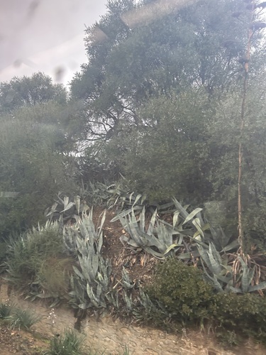
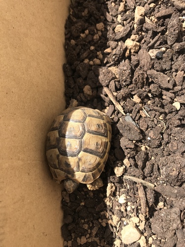
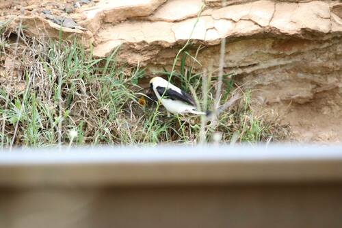
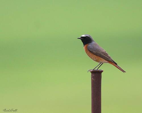
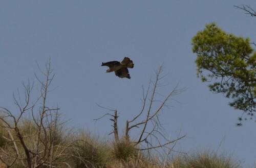
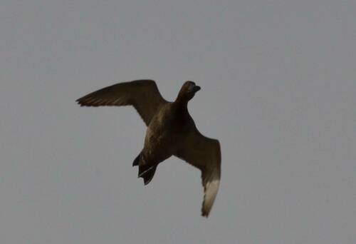
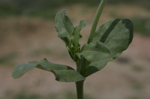
Research-grade observations from iNaturalist (within ~15 mi).
Events
Gallery
Sources
- • Wikipedia
- • Wikidata
- • USGS Earthquake Catalog (global feed)
- • GBIF (Global Biodiversity Information Facility)
- • iNaturalist
- • Open-Meteo / sunrise-sunset.org
- • Wikipedia Pageviews API