Browse / Algeria / Batna / Djerma
Djerma
Batnavillage
Demographic figures from Office National des Statistiques (Algeria). Overview below cites Wikipedia and may reference a different year.
City facts
Overview
Situated in Batna, Algeria, Djerma is a village. No reliable population estimate is published for this entry in the open data we rely on. On the world map it falls within the Eastern Hemisphere, specifically at 35.662°, 6.310°. Solar-resource estimates put the area at about 1,832 kWh/m² of solar irradiance per year with sunshine for roughly 72% of daylight hours. Climatically, locations at this latitude tend to experience warm summers and cool winters. Additional figures on demographics, climate, geography and points of interest appear in the sections that follow, all drawn from open public datasets.
Summary composed automatically from structured open data on this page. See our Terms for details.
History & geography
Geography
Coordinates & boundaries from the US Census TIGER/Line shapefiles.
Climate
Air quality
Walkability
Amenities nearby
Wildlife & biodiversity
Most-observed species
- Eurasian Collared-DoveStreptopelia decaocto (Frivaldszky, 1838) · Aves23
- White StorkCiconia ciconia (Linnaeus, 1758) · Aves22
- House SparrowPasser domesticus (Linnaeus, 1758) · Aves22
- Black WheatearOenanthe leucura (Gmelin, 1789) · Aves17
- Spotless StarlingSturnus unicolor Temminck, 1820 · Aves15
- Teucrium pseudochamaepitys L.Teucrium pseudochamaepitys L. · Magnoliopsida15
- Rock PigeonColumba livia J.F.Gmelin, 1789 · Aves14
- Moussier's RedstartPhoenicurus moussieri (Olphe-Galliard, 1852) · Aves11
Citizen-science & research observations from the Global Biodiversity Information Facility (GBIF).
Earthquake history
Most recent
- M 4.7 — 2026-06-036 km NNW of Draa Klalouche, Algeria
- M 4.5 — 2025-10-1922 km ESE of Tazoult-Lambese, Algeria
- M 4.5 — 2021-03-1710 km ENE of Didouche Mourad, Algeria
- M 4.6 — 2021-03-159 km WNW of Arris, Algeria
- M 5 — 2020-08-073 km NNE of Sidi Mérouane, Algeria
- M 4.6 — 2020-07-172 km WNW of Mila, Algeria
Events from the USGS Earthquake Catalog (global) (FDSN Event Web Service).
Photos
Sights & places nearby
Notable people from here

People born within ~10 km, from Wikidata (CC0). Click any name for their Wikipedia article.
Nearby places in Batna
- Boumia9.7 mi away
- Zana El Beida14.2 mi away
- Ouled Menaa15.8 mi away
- Oued Chaaba17 mi away
- Dekhlet Ben Kiyal17.3 mi away
- Mechtat Roknia17.6 mi away
- Mechtat Knou Zitoune18.5 mi away
- Hassi Ouled Mehenna19.1 mi away
- Chaabet Ouled Chelih19.8 mi away
- Ali N'Mer21.2 mi away
- Touffana21.7 mi away
- Ouled Ahsir22.6 mi away
Geography & sun
Elevation, sunrise/sunset and daylight from Open-Meteo. Solar climatology from NASA POWER.
Nearby airports
Public attention
Books about this place
Recent natural events nearby
Ground air-quality sensors
Recently spotted species
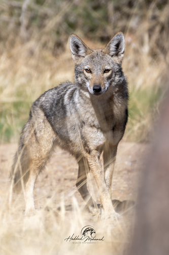
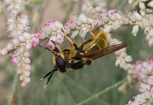
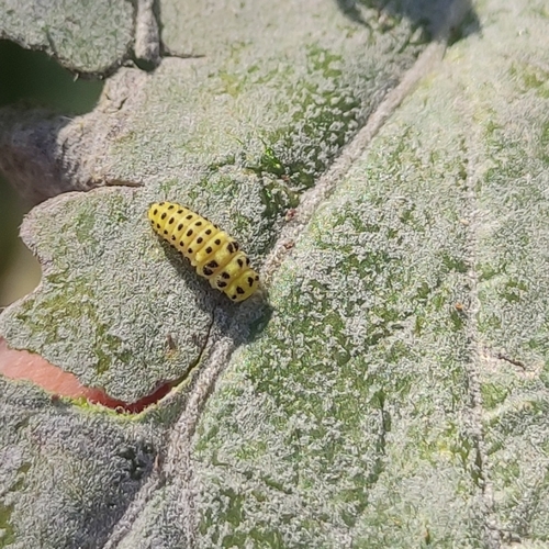
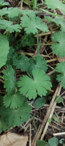
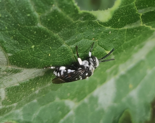
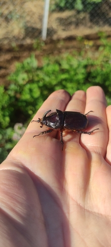
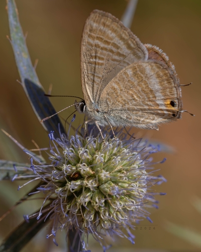
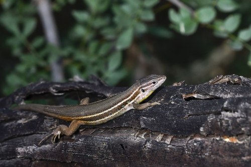
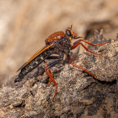
Research-grade observations from iNaturalist (within ~15 mi).
Events
Gallery
Sources
- • Wikidata
- • USGS Earthquake Catalog (global feed)
- • GBIF (Global Biodiversity Information Facility)
- • iNaturalist
- • Open-Meteo / sunrise-sunset.org