Browse / Algeria / Mila / El Ghirane
El Ghirane
Milavillage
Demographic figures from Office National des Statistiques (Algeria). Overview below cites Wikipedia and may reference a different year.
City facts
Overview
El Ghirane sits in Mila, Algeria and is identified as a village. No reliable population estimate is published for this entry in the open data we rely on. Geographically it lies in the northern hemisphere at a warm temperate latitude (36.322°, 6.352°). Based on its warm temperate position, residents likely encounter warm summers and cool winters. The location receives about 1,743 kWh/m² of solar irradiance per year and sunshine for roughly 68% of daylight hours. Continue scrolling for population, climate, environmental and points-of-interest data drawn from public sources.
Summary composed automatically from structured open data on this page. See our Terms for details.
History & geography
Geography
Coordinates & boundaries from the US Census TIGER/Line shapefiles.
Climate
Air quality
Walkability
Amenities nearby
Wildlife & biodiversity
Most-observed species
- Ophrys fusca LinkOphrys fusca Link · Liliopsida152
- Ophrys lutea Cav.Ophrys lutea Cav. · Liliopsida127
- Ophrys speculum LinkOphrys speculum Link · Liliopsida122
- Sawfly OrchidOphrys tenthredinifera Willd. · Liliopsida118
- Ophrys ×battandieri E.G.CamusOphrys ×battandieri E.G.Camus · Liliopsida84
- Garden SnailCornu aspersum (O.F.Müller, 1774) · Gastropoda74
- White StorkCiconia ciconia (Linnaeus, 1758) · Aves60
- Common RavenCorvus corax Linnaeus, 1758 · Aves57
Citizen-science & research observations from the Global Biodiversity Information Facility (GBIF).
Earthquake history
Photos
Sights & places nearby
Notable people from here
People born within ~10 km, from Wikidata (CC0). Click any name for their Wikipedia article.
Nearby places in Mila
- Ain Kermat0.1 mi away
- Sidi Khelifa3.5 mi away
- Bled Youssef بلاد يوسف4.8 mi away
- Ouled Bouhama10.3 mi away
- Mechtat Tebtaba11.2 mi away
- Mechtat Ouled Nsar11.5 mi away
- Ain Nechma11.8 mi away
- Mechtat El Hamri11.9 mi away
- Mechtat Ghar Slim13.2 mi away
- VSA El Arsa13.2 mi away
- Ahmed Rachedi13.3 mi away
- Cité Ennecim inférieure13.5 mi away
Geography & sun
Elevation, sunrise/sunset and daylight from Open-Meteo. Solar climatology from NASA POWER.
Nearby airports
Public attention
Books about this place
Recent natural events nearby
Ground air-quality sensors
Recently spotted species
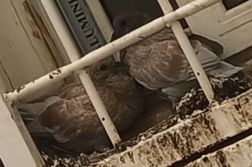
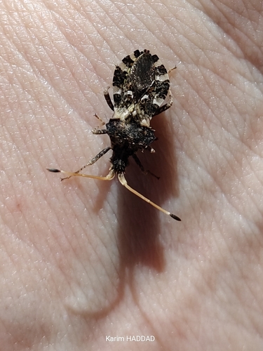
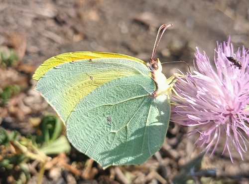
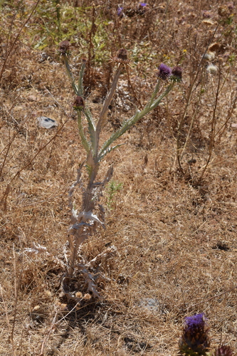
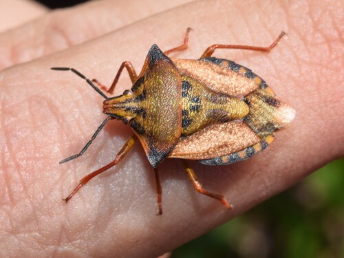
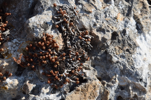
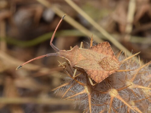
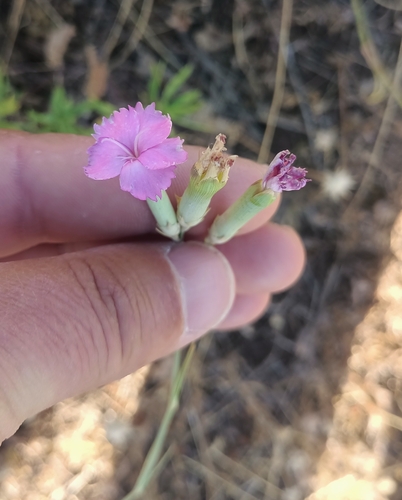
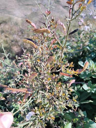
Research-grade observations from iNaturalist (within ~15 mi).
Events
Gallery
Sources
- • Wikidata
- • GBIF (Global Biodiversity Information Facility)
- • iNaturalist
- • Open-Meteo / sunrise-sunset.org