Browse / Algeria / Béjaïa / El Kseur
El Kseur
Béjaïatown

El Kseur
Total population
29,842
Demographic figures from Office National des Statistiques (Algeria). Overview below cites Wikipedia and may reference a different year.
City facts
Facts from Wikidata (CC0).
Overview
El Kseur is a commune in northern Algeria in the Béjaïa Province. The Béni Mansour–Bejaïa railway serves this community with SNTF rail service.
Read more on WikipediaHistory & geography
History
In Roman times, El Kseur was known as Tubusuctu (or even "Tubusuptu"). It was a Roman colony founded by Augustus for military veterans. Economically, the colony was known for its olive oil. Today, Roman ruins include baths, which are well preserved. During the colonization, El Kseur was in 1872 a center of European settlement. Many Alsatians and Lorrainers settled there, especially after the French defeat of 1870 against Prussia. Nearly 470 settlers settled in El Kseur, which took the name of Bitche. This name will not stay long since El Kseur or Ighil Maabed will take over. Today still the colonial district is present, it is on the national road, near the town hall in particular. During the Algerian War, El Kseur was one of the first regions in Kabylie to join the FLN in 1954, a group of wanted militants of the FLN of the region joined the maquis; Salah Hocine, Tahar Amirouchen, Khatri Madjid, Arezki Oukmamou and his brother Hocine, Mokrane Harani, Kamel Chikhi, Larbi Touati and so many others have to quote their why say so much else they are cleaner. They will all become valuable officers in the ALN. El Kseur was the scene of several battles between the colonial army and the guerrillas of wilaya III. Faced with a threat France set up prohibited zones in order to cut the resistance of the population and thus deprive them of popular support. Thus, in 1955, in the Aures first, then in Kabylia, and then in the rest of Algeria, population regrouping camps were built. In El Koire, at first, the mountaineers who had been driven out of their villages, often in violence, had to settle near the river in makeshift camps made by their care. It was in 1959 and in 1960, in the context of the realization of the Plan of Constantine, that houses were erected. They were mostly made…
Excerpted from the corresponding Wikipedia article (CC BY-SA).
Geography
Coordinates & boundaries from the US Census TIGER/Line shapefiles.
Climate
Air quality
Walkability
Amenities nearby
Wildlife & biodiversity
Most-observed species
- Black-headed GullChroicocephalus ridibundus (Linnaeus, 1766) · Aves744
- Yellow-legged GullLarus michahellis J.F.Naumann, 1840 · Aves351
- Mediterranean GullIchthyaetus melanocephalus (Temminck, 1820) · Aves326
- praying mantisMantis religiosa (Linne, 1758) · Insecta152
- MantisIris oratoria Linne, 1758 · Insecta114
- Egyptian GrasshopperAnacridium aegyptium (Linnaeus, 1764) · Insecta114
- Sandwich TernThalasseus sandvicensis (Latham, 1787) · Aves112
- Lesser Black-backed GullLarus fuscus Linnaeus, 1758 · Aves108
Citizen-science & research observations from the Global Biodiversity Information Facility (GBIF).
Earthquake history
Photos
Sights & places nearby
Notable people from here


People born within ~10 km, from Wikidata (CC0). Click any name for their Wikipedia article.
Nearby places in Béjaïa
Geography & sun
Elevation, sunrise/sunset and daylight from Open-Meteo. Solar climatology from NASA POWER.
Nearby airports
Public attention
Pageview totals from the Wikimedia Pageviews API.
Books about this place
Recent natural events nearby
Ground air-quality sensors
Recently spotted species
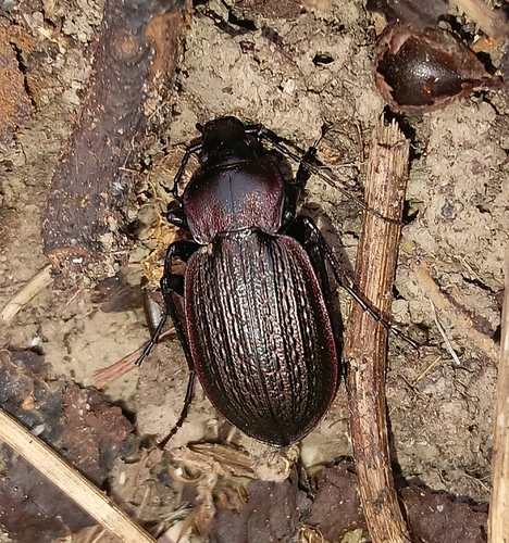
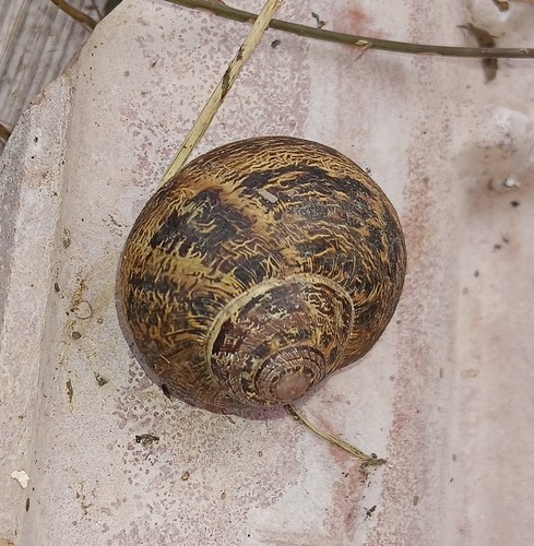
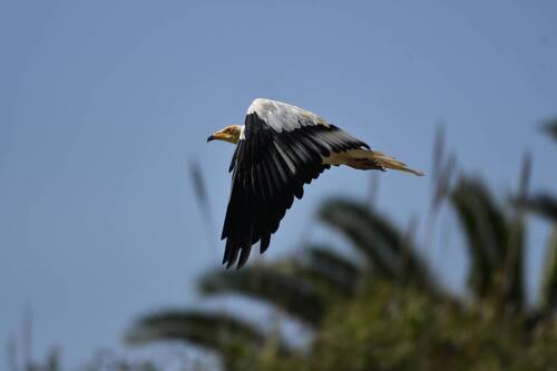
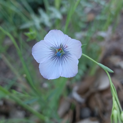
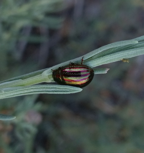
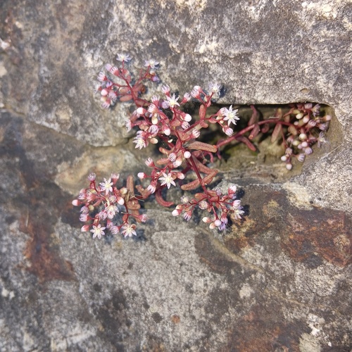
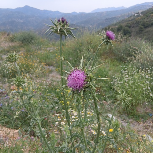
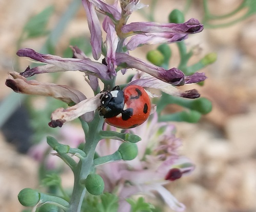
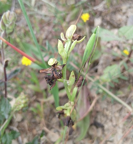
Research-grade observations from iNaturalist (within ~15 mi).
Events
Gallery
Sources
- • Wikipedia
- • Wikidata
- • GBIF (Global Biodiversity Information Facility)
- • iNaturalist
- • Open-Meteo / sunrise-sunset.org
- • Wikipedia Pageviews API