Browse / Algeria / Mila / Feid Nafaa
Feid Nafaa
Milavillage
Demographic figures from Office National des Statistiques (Algeria). Overview below cites Wikipedia and may reference a different year.
City facts
Overview
Feid Nafaa is a village located in Mila, Algeria. Its coordinates of 36.150°, 6.011° place it in the warm-temperate zone of the northern hemisphere. No reliable population estimate is published for this entry in the open data we rely on. Solar-resource estimates put the area at about 1,743 kWh/m² of solar irradiance per year with sunshine for roughly 68% of daylight hours. The latitude suggests warm summers and cool winters. Read on for charts and tables covering demographics, climate, hazards, schools, wildlife and other open-data indicators for Feid Nafaa.
Summary composed automatically from structured open data on this page. See our Terms for details.
History & geography
Geography
Coordinates & boundaries from the US Census TIGER/Line shapefiles.
Climate
Air quality
Walkability
Amenities nearby
Wildlife & biodiversity
Most-observed species
- Stachys circinata L'Hér.Stachys circinata L'Hér. · Magnoliopsida12
- Rupicapnos numidica (Coss. & Durieu) PomelRupicapnos numidica (Coss. & Durieu) Pomel · Magnoliopsida8
- White StorkCiconia ciconia (Linnaeus, 1758) · Aves7
- Garden SnailCornu aspersum (O.F.Müller, 1774) · Gastropoda7
- RustybackAsplenium ceterach L. · Polypodiopsida6
- Numidian SquillDrimia numidica (Jord. & Fourr.) J.C.Manning & Goldblatt · Liliopsida6
- Annual ScabiousSixalix atropurpurea (L.) Greuter & Burdet · Magnoliopsida6
- Common RavenCorvus corax Linnaeus, 1758 · Aves5
Citizen-science & research observations from the Global Biodiversity Information Facility (GBIF).
Earthquake history
Most recent
- M 4.7 — 2026-06-036 km NNW of Draa Klalouche, Algeria
- M 4.5 — 2025-10-1922 km ESE of Tazoult-Lambese, Algeria
- M 4.6 — 2021-07-1918 km SW of Jijel, Algeria
- M 3.9 — 2021-03-1918 km NE of Didouche Mourad, Algeria
- M 4.5 — 2021-03-1710 km ENE of Didouche Mourad, Algeria
- M 4.6 — 2021-03-159 km WNW of Arris, Algeria
Events from the USGS Earthquake Catalog (global) (FDSN Event Web Service).
Photos
Sights & places nearby
Notable people from here
Nearby places in Mila
- Boutouil3.9 mi away
- El Biar4 mi away
- Benyahia Abderrahmane5.7 mi away
- Mechtat Khellouta7.8 mi away
- Mechtat Ouled Aïssa7.9 mi away
- El Djahli8.1 mi away
- Mechtat Mercouri8.3 mi away
- Chelghoum Laid8.8 mi away · pop. 82,560
- Mechtat El Arbi9.1 mi away
- Mechtat Moudjara9.1 mi away
- Mechtat Bir Badis مشتة بير باديس10.1 mi away
- Mechtat Oum El Hassen10.6 mi away
Geography & sun
Elevation, sunrise/sunset and daylight from Open-Meteo. Solar climatology from NASA POWER.
Nearby airports
Public attention
Books about this place
Recent natural events nearby
Ground air-quality sensors
Recently spotted species
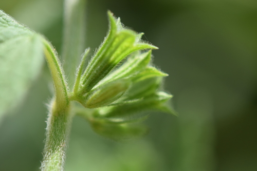
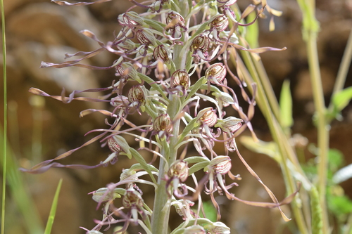
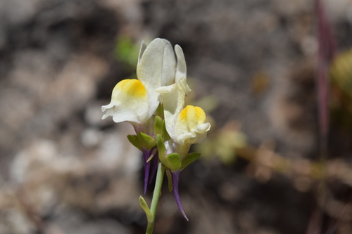

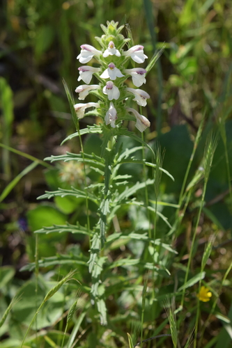
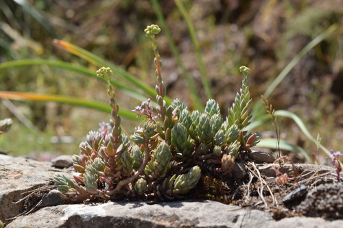
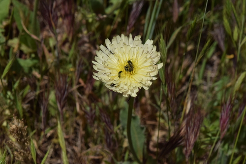
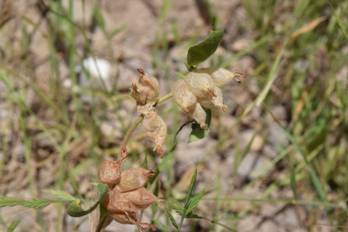
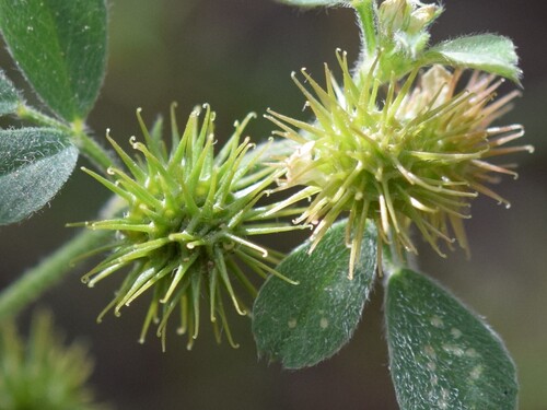
Research-grade observations from iNaturalist (within ~15 mi).
Events
Gallery
Sources
- • Wikidata
- • USGS Earthquake Catalog (global feed)
- • GBIF (Global Biodiversity Information Facility)
- • iNaturalist
- • Open-Meteo / sunrise-sunset.org